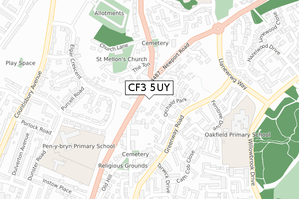
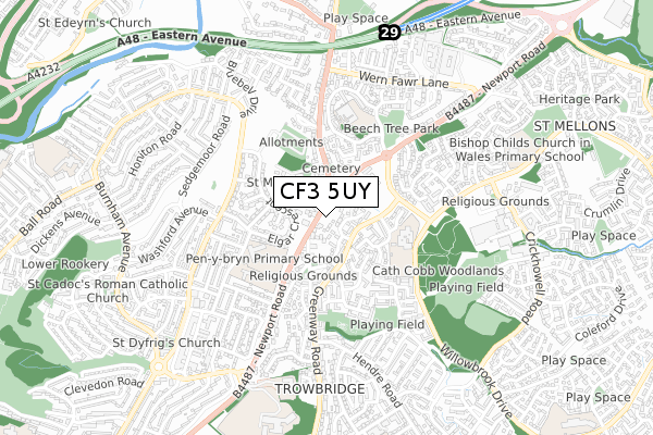
CF3 5UY is located in the Pontprennau and Old St Mellons electoral ward, within the unitary authority of Cardiff and the Welsh Parliamentary constituency of Cardiff North. The Local Health Board is Cardiff and Vale University and the police force is South Wales. This postcode has been in use since January 2019.


GetTheData
Source: OS Open Zoomstack (Ordnance Survey)
Licence: Open Government Licence (requires attribution)
Attribution: Contains OS data © Crown copyright and database right 2025
Source: Open Postcode Geo
Licence: Open Government Licence (requires attribution)
Attribution: Contains OS data © Crown copyright and database right 2025; Contains Royal Mail data © Royal Mail copyright and database right 2025; Source: Office for National Statistics licensed under the Open Government Licence v.3.0
| Easting | 322938 |
| Northing | 181251 |
| Latitude | 51.524895 |
| Longitude | -3.112190 |
GetTheData
Source: Open Postcode Geo
Licence: Open Government Licence
| Country | Wales |
| Postcode District | CF3 |
➜ See where CF3 is on a map ➜ Where is Cardiff? | |
GetTheData
Source: Land Registry Price Paid Data
Licence: Open Government Licence
| Ward | Pontprennau And Old St Mellons |
| Constituency | Cardiff North |
GetTheData
Source: ONS Postcode Database
Licence: Open Government Licence
| Bluebell Inn (Newport Road) | Llanrumney | 69m |
| Bluebell Inn (Newport Road) | Llanrumney | 134m |
| Tarwick Drive (Greenway Road) | Rumney | 201m |
| Tarwick Drive (Greenway Road) | Rumney | 258m |
| Llaneirwg Way (Llanewrwg Way) | St Mellons | 335m |
| Heath High Level Station | 4.9km |
| Llanishen Station | 4.9km |
| Heath Low Level Station | 5km |
GetTheData
Source: NaPTAN
Licence: Open Government Licence
GetTheData
Source: ONS Postcode Database
Licence: Open Government Licence


➜ Get more ratings from the Food Standards Agency
GetTheData
Source: Food Standards Agency
Licence: FSA terms & conditions
| Last Collection | |||
|---|---|---|---|
| Location | Mon-Fri | Sat | Distance |
| Willowbrook Drive | 17:00 | 11:15 | 1,256m |
| Ball Road | 17:15 | 11:00 | 1,266m |
| Coed Y Gores | 17:30 | 11:45 | 1,695m |
GetTheData
Source: Dracos
Licence: Creative Commons Attribution-ShareAlike
The below table lists the International Territorial Level (ITL) codes (formerly Nomenclature of Territorial Units for Statistics (NUTS) codes) and Local Administrative Units (LAU) codes for CF3 5UY:
| ITL 1 Code | Name |
|---|---|
| TLL | Wales |
| ITL 2 Code | Name |
| TLL2 | East Wales |
| ITL 3 Code | Name |
| TLL22 | Cardiff and Vale of Glamorgan |
| LAU 1 Code | Name |
| W06000015 | Cardiff |
GetTheData
Source: ONS Postcode Directory
Licence: Open Government Licence
The below table lists the Census Output Area (OA), Lower Layer Super Output Area (LSOA), and Middle Layer Super Output Area (MSOA) for CF3 5UY:
| Code | Name | |
|---|---|---|
| OA | W00009477 | |
| LSOA | W01001840 | Cardiff 007D |
| MSOA | W02000373 | Cardiff 007 |
GetTheData
Source: ONS Postcode Directory
Licence: Open Government Licence
| CF3 5UN | Newport Road | 39m |
| CF3 5UQ | Llandaff Square | 59m |
| CF3 0AQ | Orchard Park | 88m |
| CF3 5UE | Newport Road | 90m |
| CF3 5UA | Newport Road | 93m |
| CF3 5UP | Church Lane | 98m |
| CF3 5UR | The Ton | 132m |
| CF3 0AT | Orchard Park Close | 135m |
| CF3 0AE | Ashfield Court | 159m |
| CF3 5UB | Chapel Row | 161m |
GetTheData
Source: Open Postcode Geo; Land Registry Price Paid Data
Licence: Open Government Licence