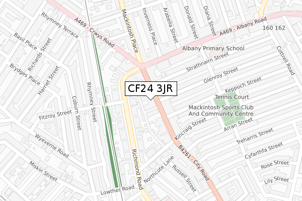
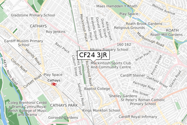
CF24 3JR is located in the Plasnewydd electoral ward, within the unitary authority of Cardiff and the Welsh Parliamentary constituency of Cardiff Central. The Local Health Board is Cardiff and Vale University and the police force is South Wales. This postcode has been in use since November 2019.


GetTheData
Source: OS Open Zoomstack (Ordnance Survey)
Licence: Open Government Licence (requires attribution)
Attribution: Contains OS data © Crown copyright and database right 2025
Source: Open Postcode Geo
Licence: Open Government Licence (requires attribution)
Attribution: Contains OS data © Crown copyright and database right 2025; Contains Royal Mail data © Royal Mail copyright and database right 2025; Source: Office for National Statistics licensed under the Open Government Licence v.3.0
| Easting | 318781 |
| Northing | 177605 |
| Latitude | 51.491535 |
| Longitude | -3.171255 |
GetTheData
Source: Open Postcode Geo
Licence: Open Government Licence
| Country | Wales |
| Postcode District | CF24 |
➜ See where CF24 is on a map ➜ Where is Cardiff? | |
GetTheData
Source: Land Registry Price Paid Data
Licence: Open Government Licence
| Ward | Plasnewydd |
| Constituency | Cardiff Central |
GetTheData
Source: ONS Postcode Database
Licence: Open Government Licence
| Strathnairn Street (City Road) | Roath | 38m |
| Strathnairn Street (City Road) | Roath | 40m |
| Inverness Place (Albany Road) | Roath | 143m |
| Royal George Hotel (Mackintosh Place) | Roath | 169m |
| Arabella Street (Albany Road) | Roath | 182m |
| Cathays Station | 0.6km |
| Cardiff Queen Street Station | 1.1km |
| Cardiff Central Station | 1.8km |
GetTheData
Source: NaPTAN
Licence: Open Government Licence
GetTheData
Source: ONS Postcode Database
Licence: Open Government Licence


➜ Get more ratings from the Food Standards Agency
GetTheData
Source: Food Standards Agency
Licence: FSA terms & conditions
| Last Collection | |||
|---|---|---|---|
| Location | Mon-Fri | Sat | Distance |
| Richmond Road North | 17:30 | 12:45 | 177m |
| City Road Roath | 18:30 | 240m | |
| Albany Road Post Office | 18:30 | 12:15 | 242m |
GetTheData
Source: Dracos
Licence: Creative Commons Attribution-ShareAlike
The below table lists the International Territorial Level (ITL) codes (formerly Nomenclature of Territorial Units for Statistics (NUTS) codes) and Local Administrative Units (LAU) codes for CF24 3JR:
| ITL 1 Code | Name |
|---|---|
| TLL | Wales |
| ITL 2 Code | Name |
| TLL2 | East Wales |
| ITL 3 Code | Name |
| TLL22 | Cardiff and Vale of Glamorgan |
| LAU 1 Code | Name |
| W06000015 | Cardiff |
GetTheData
Source: ONS Postcode Directory
Licence: Open Government Licence
The below table lists the Census Output Area (OA), Lower Layer Super Output Area (LSOA), and Middle Layer Super Output Area (MSOA) for CF24 3JR:
| Code | Name | |
|---|---|---|
| OA | W00009476 | |
| LSOA | W01001829 | Cardiff 033A |
| MSOA | W02000399 | Cardiff 033 |
GetTheData
Source: ONS Postcode Directory
Licence: Open Government Licence
| CF24 3JH | City Road | 38m |
| CF24 3JD | City Road | 52m |
| CF24 3JG | City Road | 55m |
| CF24 3BX | Richmond Road | 67m |
| CF24 3JJ | City Road | 78m |
| CF24 3JF | City Road | 113m |
| CF24 3BT | Richmond Road | 120m |
| CF24 3JB | City Road | 125m |
| CF24 3JX | Glenroy Street | 132m |
| CF24 3RP | Albany Road | 133m |
GetTheData
Source: Open Postcode Geo; Land Registry Price Paid Data
Licence: Open Government Licence