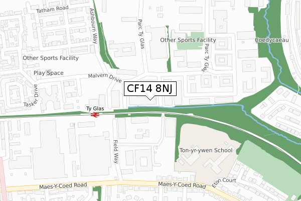
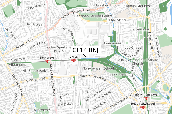
CF14 8NJ is located in the Llanishen electoral ward, within the unitary authority of Cardiff and the Welsh Parliamentary constituency of Cardiff North. The Local Health Board is Cardiff and Vale University and the police force is South Wales. This postcode has been in use since August 2018.


GetTheData
Source: OS Open Zoomstack (Ordnance Survey)
Licence: Open Government Licence (requires attribution)
Attribution: Contains OS data © Crown copyright and database right 2024
Source: Open Postcode Geo
Licence: Open Government Licence (requires attribution)
Attribution: Contains OS data © Crown copyright and database right 2024; Contains Royal Mail data © Royal Mail copyright and database right 2024; Source: Office for National Statistics licensed under the Open Government Licence v.3.0
| Easting | 317237 |
| Northing | 181036 |
| Latitude | 51.522155 |
| Longitude | -3.194296 |
GetTheData
Source: Open Postcode Geo
Licence: Open Government Licence
| Country | Wales |
| Postcode District | CF14 |
➜ See where CF14 is on a map ➜ Where is Cardiff? | |
GetTheData
Source: Land Registry Price Paid Data
Licence: Open Government Licence
| Ward | Llanishen |
| Constituency | Cardiff North |
GetTheData
Source: ONS Postcode Database
Licence: Open Government Licence
| Cheviot Close (Parc Ty Glas) | Birchgrove | 118m |
| Lambourne Crescent (Parc Ty Glas) | Birchgrove | 178m |
| Parc Ty Glas (Parc Ty-glas) | Birchgrove | 202m |
| Parc Ty Glas (Parc Ty-glas) | Llanishen | 236m |
| S4c (Parc Ty Glas) | Birchgrove | 273m |
| Ty Glas Station | 0.2km |
| Birchgrove Station | 0.5km |
| Heath High Level Station | 1.1km |
GetTheData
Source: NaPTAN
Licence: Open Government Licence
GetTheData
Source: ONS Postcode Database
Licence: Open Government Licence


➜ Get more ratings from the Food Standards Agency
GetTheData
Source: Food Standards Agency
Licence: FSA terms & conditions
| Last Collection | |||
|---|---|---|---|
| Location | Mon-Fri | Sat | Distance |
| Parc Ty Glas | 18:30 | 12:00 | 113m |
| St Isan Road Post Office | 17:30 | 12:00 | 605m |
| St Cadoc Road | 17:30 | 12:00 | 786m |
GetTheData
Source: Dracos
Licence: Creative Commons Attribution-ShareAlike
The below table lists the International Territorial Level (ITL) codes (formerly Nomenclature of Territorial Units for Statistics (NUTS) codes) and Local Administrative Units (LAU) codes for CF14 8NJ:
| ITL 1 Code | Name |
|---|---|
| TLL | Wales |
| ITL 2 Code | Name |
| TLL2 | East Wales |
| ITL 3 Code | Name |
| TLL22 | Cardiff and Vale of Glamorgan |
| LAU 1 Code | Name |
| W06000015 | Cardiff |
GetTheData
Source: ONS Postcode Directory
Licence: Open Government Licence
The below table lists the Census Output Area (OA), Lower Layer Super Output Area (LSOA), and Middle Layer Super Output Area (MSOA) for CF14 8NJ:
| Code | Name | |
|---|---|---|
| OA | W00009241 | |
| LSOA | W01001792 | Cardiff 005B |
| MSOA | W02000371 | Cardiff 005 |
GetTheData
Source: ONS Postcode Directory
Licence: Open Government Licence
| CF14 4HY | Field Way | 125m |
| CF14 5GF | Cardiff Business Park | 201m |
| CF14 4HH | Maes Y Coed Road | 261m |
| CF14 5BB | Pentland Close | 272m |
| CF14 4HE | Maes Y Coed Road | 293m |
| CF14 5FD | Tatham Road | 301m |
| CF14 5FE | Mostyn Square | 365m |
| CF14 4HD | Maes Y Coed Road | 370m |
| CF14 4LD | St Asaph Close | 371m |
| CF14 5EU | Smith Road | 379m |
GetTheData
Source: Open Postcode Geo; Land Registry Price Paid Data
Licence: Open Government Licence