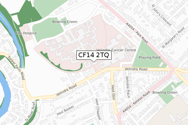
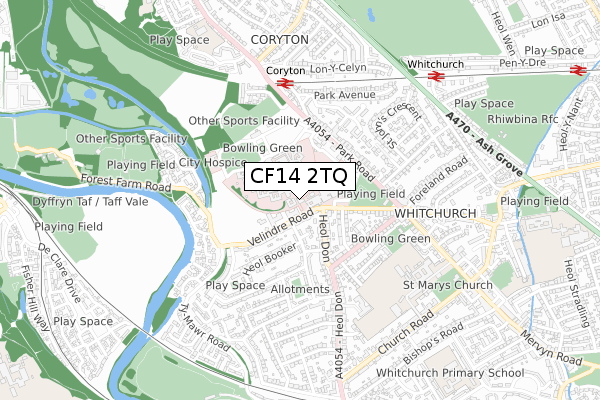
CF14 2TQ is located in the Whitchurch and Tongwynlais electoral ward, within the unitary authority of Cardiff and the Welsh Parliamentary constituency of Cardiff North. The Local Health Board is Cardiff and Vale University and the police force is South Wales. This postcode has been in use since April 2019.


GetTheData
Source: OS Open Zoomstack (Ordnance Survey)
Licence: Open Government Licence (requires attribution)
Attribution: Contains OS data © Crown copyright and database right 2025
Source: Open Postcode Geo
Licence: Open Government Licence (requires attribution)
Attribution: Contains OS data © Crown copyright and database right 2025; Contains Royal Mail data © Royal Mail copyright and database right 2025; Source: Office for National Statistics licensed under the Open Government Licence v.3.0
| Easting | 314712 |
| Northing | 180398 |
| Latitude | 51.516043 |
| Longitude | -3.230527 |
GetTheData
Source: Open Postcode Geo
Licence: Open Government Licence
| Country | Wales |
| Postcode District | CF14 |
➜ See where CF14 is on a map ➜ Where is Cardiff? | |
GetTheData
Source: Land Registry Price Paid Data
Licence: Open Government Licence
| Ward | Whitchurch And Tongwynlais |
| Constituency | Cardiff North |
GetTheData
Source: ONS Postcode Database
Licence: Open Government Licence
| Glendower Court (Velindre Road) | Whitchurch | 91m |
| Velindre Hospital (Velindre Road) | Whitchurch | 149m |
| Velindre Hospital (Velindre Road) | Whitchurch | 196m |
| Kelston Road (Heol Don) | Whitchurch | 250m |
| Kelston Road (Heol Don) | Whitchurch | 262m |
| Coryton Station | 0.5km |
| Whitchurch (Cardiff) Station | 0.7km |
| Llandaf Station | 0.9km |
GetTheData
Source: NaPTAN
Licence: Open Government Licence
GetTheData
Source: ONS Postcode Database
Licence: Open Government Licence


➜ Get more ratings from the Food Standards Agency
GetTheData
Source: Food Standards Agency
Licence: FSA terms & conditions
| Last Collection | |||
|---|---|---|---|
| Location | Mon-Fri | Sat | Distance |
| Heol Don | 17:30 | 12:00 | 177m |
| Westbourne Road | 17:30 | 12:00 | 430m |
| Newport Road The Walk | 17:00 | 12:15 | 432m |
GetTheData
Source: Dracos
Licence: Creative Commons Attribution-ShareAlike
The below table lists the International Territorial Level (ITL) codes (formerly Nomenclature of Territorial Units for Statistics (NUTS) codes) and Local Administrative Units (LAU) codes for CF14 2TQ:
| ITL 1 Code | Name |
|---|---|
| TLL | Wales |
| ITL 2 Code | Name |
| TLL2 | East Wales |
| ITL 3 Code | Name |
| TLL22 | Cardiff and Vale of Glamorgan |
| LAU 1 Code | Name |
| W06000015 | Cardiff |
GetTheData
Source: ONS Postcode Directory
Licence: Open Government Licence
The below table lists the Census Output Area (OA), Lower Layer Super Output Area (LSOA), and Middle Layer Super Output Area (MSOA) for CF14 2TQ:
| Code | Name | |
|---|---|---|
| OA | W00009757 | |
| LSOA | W01001895 | Cardiff 010D |
| MSOA | W02000376 | Cardiff 010 |
GetTheData
Source: ONS Postcode Directory
Licence: Open Government Licence
| CF14 2TZ | Velindre Road | 62m |
| CF14 2TD | Velindre Road | 78m |
| CF14 2TF | Velindre Road | 84m |
| CF14 2AY | Heol Don | 101m |
| CF14 2TJ | Velindre Road | 133m |
| CF14 2DE | Bryn Heulog | 135m |
| CF14 2AT | Heol Don | 182m |
| CF14 2DA | Heol Chappell | 192m |
| CF14 2AN | Velindre Place | 196m |
| CF14 2DD | Heol Mathew | 200m |
GetTheData
Source: Open Postcode Geo; Land Registry Price Paid Data
Licence: Open Government Licence