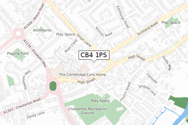
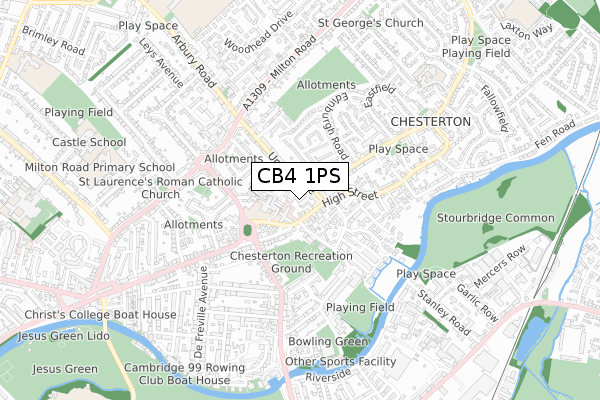
CB4 1PS is located in the Milton & Waterbeach electoral ward, within the local authority district of South Cambridgeshire and the English Parliamentary constituency of South East Cambridgeshire. The Sub Integrated Care Board (ICB) Location is NHS Cambridgeshire and Peterborough ICB - 06H and the police force is Cambridgeshire. This postcode has been in use since November 2019.


GetTheData
Source: OS Open Zoomstack (Ordnance Survey)
Licence: Open Government Licence (requires attribution)
Attribution: Contains OS data © Crown copyright and database right 2025
Source: Open Postcode Geo
Licence: Open Government Licence (requires attribution)
Attribution: Contains OS data © Crown copyright and database right 2025; Contains Royal Mail data © Royal Mail copyright and database right 2025; Source: Office for National Statistics licensed under the Open Government Licence v.3.0
| Easting | 547915 |
| Northing | 261042 |
| Latitude | 52.227733 |
| Longitude | 0.164288 |
GetTheData
Source: Open Postcode Geo
Licence: Open Government Licence
| Country | England |
| Postcode District | CB4 |
➜ See where CB4 is on a map ➜ Where is Cambridge? | |
GetTheData
Source: Land Registry Price Paid Data
Licence: Open Government Licence
| Ward | Milton & Waterbeach |
| Constituency | South East Cambridgeshire |
GetTheData
Source: ONS Postcode Database
Licence: Open Government Licence
| Wright's Close (Green End) | Fen Ditton | 402m |
| Wright's Close (Green End) | Fen Ditton | 409m |
| Bourne Road (Fairbairn Road) | Chesterton | 836m |
| Musgrove Way (Horningsea Road) | Fen Ditton | 882m |
| Musgrove Way (Horningsea Road) | Fen Ditton | 894m |
| Cambridge Station | 4.2km |
| Waterbeach Station | 4.4km |
GetTheData
Source: NaPTAN
Licence: Open Government Licence
GetTheData
Source: ONS Postcode Database
Licence: Open Government Licence


➜ Get more ratings from the Food Standards Agency
GetTheData
Source: Food Standards Agency
Licence: FSA terms & conditions
| Last Collection | |||
|---|---|---|---|
| Location | Mon-Fri | Sat | Distance |
| Wrights Close | 18:30 | 12:15 | 411m |
| Pippin Drive | 17:30 | 12:15 | 885m |
| 15 High Street | 18:30 | 12:00 | 942m |
GetTheData
Source: Dracos
Licence: Creative Commons Attribution-ShareAlike
The below table lists the International Territorial Level (ITL) codes (formerly Nomenclature of Territorial Units for Statistics (NUTS) codes) and Local Administrative Units (LAU) codes for CB4 1PS:
| ITL 1 Code | Name |
|---|---|
| TLH | East |
| ITL 2 Code | Name |
| TLH1 | East Anglia |
| ITL 3 Code | Name |
| TLH12 | Cambridgeshire CC |
| LAU 1 Code | Name |
| E07000012 | South Cambridgeshire |
GetTheData
Source: ONS Postcode Directory
Licence: Open Government Licence
The below table lists the Census Output Area (OA), Lower Layer Super Output Area (LSOA), and Middle Layer Super Output Area (MSOA) for CB4 1PS:
| Code | Name | |
|---|---|---|
| OA | E00092162 | |
| LSOA | E01018273 | South Cambridgeshire 007B |
| MSOA | E02003781 | South Cambridgeshire 007 |
GetTheData
Source: ONS Postcode Directory
Licence: Open Government Licence
| CB4 1TU | Fen Road | 294m |
| CB5 8SX | Green End | 392m |
| CB5 8SY | Wrights Close | 470m |
| CB4 0DL | Cowley Road | 471m |
| CB4 1UN | Fen Road | 567m |
| CB5 8UP | Stanbury Close | 678m |
| CB5 8SU | Church Street | 687m |
| CB5 8TA | Horningsea Road | 712m |
| CB4 1UJ | Long Reach Road | 729m |
| CB5 8TQ | Bakery Close | 760m |
GetTheData
Source: Open Postcode Geo; Land Registry Price Paid Data
Licence: Open Government Licence