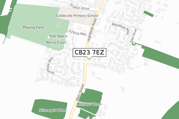
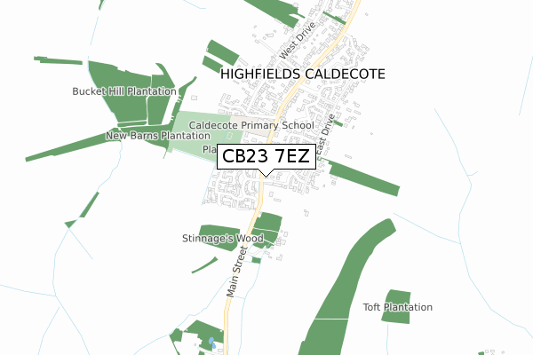
CB23 7EZ is located in the Caldecote electoral ward, within the local authority district of South Cambridgeshire and the English Parliamentary constituency of South Cambridgeshire. The Sub Integrated Care Board (ICB) Location is NHS Cambridgeshire and Peterborough ICB - 06H and the police force is Cambridgeshire. This postcode has been in use since December 2019.


GetTheData
Source: OS Open Zoomstack (Ordnance Survey)
Licence: Open Government Licence (requires attribution)
Attribution: Contains OS data © Crown copyright and database right 2024
Source: Open Postcode Geo
Licence: Open Government Licence (requires attribution)
Attribution: Contains OS data © Crown copyright and database right 2024; Contains Royal Mail data © Royal Mail copyright and database right 2024; Source: Office for National Statistics licensed under the Open Government Licence v.3.0
| Easting | 535073 |
| Northing | 258285 |
| Latitude | 52.206257 |
| Longitude | -0.024711 |
GetTheData
Source: Open Postcode Geo
Licence: Open Government Licence
| Country | England |
| Postcode District | CB23 |
➜ See where CB23 is on a map ➜ Where is Highfields Caldecote? | |
GetTheData
Source: Land Registry Price Paid Data
Licence: Open Government Licence
| Ward | Caldecote |
| Constituency | South Cambridgeshire |
GetTheData
Source: ONS Postcode Database
Licence: Open Government Licence
| Furlong Way (Highfields Road) | Caldecote | 168m |
| Furlong Way (Highfields Road) | Caldecote | 171m |
| Bossert's Way (Highfields Road) | Highfields | 491m |
| Bossert's Way (Highfields Road) | Highfields | 494m |
| West Drive (Highfields Road) | Caldecote | 899m |
GetTheData
Source: NaPTAN
Licence: Open Government Licence
GetTheData
Source: ONS Postcode Database
Licence: Open Government Licence


➜ Get more ratings from the Food Standards Agency
GetTheData
Source: Food Standards Agency
Licence: FSA terms & conditions
| Last Collection | |||
|---|---|---|---|
| Location | Mon-Fri | Sat | Distance |
| Stympole Way | 16:15 | 10:00 | 64m |
| Clare Farm | 16:30 | 10:00 | 859m |
| Highfields | 16:30 | 10:15 | 919m |
GetTheData
Source: Dracos
Licence: Creative Commons Attribution-ShareAlike
The below table lists the International Territorial Level (ITL) codes (formerly Nomenclature of Territorial Units for Statistics (NUTS) codes) and Local Administrative Units (LAU) codes for CB23 7EZ:
| ITL 1 Code | Name |
|---|---|
| TLH | East |
| ITL 2 Code | Name |
| TLH1 | East Anglia |
| ITL 3 Code | Name |
| TLH12 | Cambridgeshire CC |
| LAU 1 Code | Name |
| E07000012 | South Cambridgeshire |
GetTheData
Source: ONS Postcode Directory
Licence: Open Government Licence
The below table lists the Census Output Area (OA), Lower Layer Super Output Area (LSOA), and Middle Layer Super Output Area (MSOA) for CB23 7EZ:
| Code | Name | |
|---|---|---|
| OA | E00170834 | |
| LSOA | E01018231 | South Cambridgeshire 010A |
| MSOA | E02003784 | South Cambridgeshire 010 |
GetTheData
Source: ONS Postcode Directory
Licence: Open Government Licence
| CB23 7NE | Devonshire Mews | 58m |
| CB23 7ZG | Mitwell Close | 61m |
| CB23 7ZF | Porthmore Way | 73m |
| CB23 7NT | Cavendish Way | 100m |
| CB23 7ZQ | Copel Close | 121m |
| CB23 7ZP | Crafts Way | 131m |
| CB23 7ZL | Goose Cross | 132m |
| CB23 7ZU | Copse Close | 137m |
| CB23 7NR | Blythe Way | 146m |
| CB23 7ZE | Thorny Way | 150m |
GetTheData
Source: Open Postcode Geo; Land Registry Price Paid Data
Licence: Open Government Licence