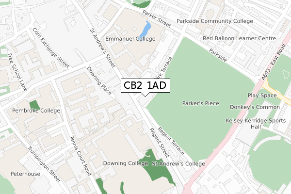
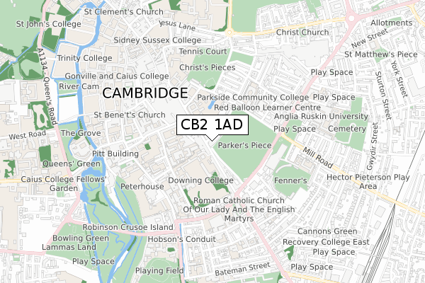
CB2 1AD is located in the Market electoral ward, within the local authority district of Cambridge and the English Parliamentary constituency of Cambridge. The Sub Integrated Care Board (ICB) Location is NHS Cambridgeshire and Peterborough ICB - 06H and the police force is Cambridgeshire. This postcode has been in use since July 2018.


GetTheData
Source: OS Open Zoomstack (Ordnance Survey)
Licence: Open Government Licence (requires attribution)
Attribution: Contains OS data © Crown copyright and database right 2024
Source: Open Postcode Geo
Licence: Open Government Licence (requires attribution)
Attribution: Contains OS data © Crown copyright and database right 2024; Contains Royal Mail data © Royal Mail copyright and database right 2024; Source: Office for National Statistics licensed under the Open Government Licence v.3.0
| Easting | 545341 |
| Northing | 258122 |
| Latitude | 52.202183 |
| Longitude | 0.125376 |
GetTheData
Source: Open Postcode Geo
Licence: Open Government Licence
| Country | England |
| Postcode District | CB2 |
➜ See where CB2 is on a map ➜ Where is Cambridge? | |
GetTheData
Source: Land Registry Price Paid Data
Licence: Open Government Licence
| Ward | Market |
| Constituency | Cambridge |
GetTheData
Source: ONS Postcode Database
Licence: Open Government Licence
| The Busway Regent Street (St Andrew's Street) | Cambridge | 91m |
| Downing College (Regent Street) | Cambridge | 154m |
| Downing College (Regent Street) | Cambridge | 189m |
| St Andrew's Street (Downing Street) | Cambridge | 211m |
| St Andrew's Street | Cambridge | 243m |
| Cambridge Station | 1.2km |
GetTheData
Source: NaPTAN
Licence: Open Government Licence
| Percentage of properties with Next Generation Access | 100.0% |
| Percentage of properties with Superfast Broadband | 100.0% |
| Percentage of properties with Ultrafast Broadband | 0.0% |
| Percentage of properties with Full Fibre Broadband | 0.0% |
Superfast Broadband is between 30Mbps and 300Mbps
Ultrafast Broadband is > 300Mbps
| Percentage of properties unable to receive 2Mbps | 0.0% |
| Percentage of properties unable to receive 5Mbps | 0.0% |
| Percentage of properties unable to receive 10Mbps | 0.0% |
| Percentage of properties unable to receive 30Mbps | 0.0% |
GetTheData
Source: Ofcom
Licence: Ofcom Terms of Use (requires attribution)
GetTheData
Source: ONS Postcode Database
Licence: Open Government Licence


➜ Get more ratings from the Food Standards Agency
GetTheData
Source: Food Standards Agency
Licence: FSA terms & conditions
| Last Collection | |||
|---|---|---|---|
| Location | Mon-Fri | Sat | Distance |
| Regent Street Post Office | 18:45 | 12:00 | 65m |
| Parkside | 18:30 | 12:00 | 297m |
| Trumpington Street Post Office | 18:45 | 12:30 | 455m |
GetTheData
Source: Dracos
Licence: Creative Commons Attribution-ShareAlike
The below table lists the International Territorial Level (ITL) codes (formerly Nomenclature of Territorial Units for Statistics (NUTS) codes) and Local Administrative Units (LAU) codes for CB2 1AD:
| ITL 1 Code | Name |
|---|---|
| TLH | East |
| ITL 2 Code | Name |
| TLH1 | East Anglia |
| ITL 3 Code | Name |
| TLH12 | Cambridgeshire CC |
| LAU 1 Code | Name |
| E07000008 | Cambridge |
GetTheData
Source: ONS Postcode Directory
Licence: Open Government Licence
The below table lists the Census Output Area (OA), Lower Layer Super Output Area (LSOA), and Middle Layer Super Output Area (MSOA) for CB2 1AD:
| Code | Name | |
|---|---|---|
| OA | E00167356 | |
| LSOA | E01032797 | Cambridge 007G |
| MSOA | E02003725 | Cambridge 007 |
GetTheData
Source: ONS Postcode Directory
Licence: Open Government Licence
| CB2 1AB | Regent Street | 136m |
| CB2 1AA | Regent Terrace | 141m |
| CB2 1DP | Regent Street | 233m |
| CB1 1JL | Parker Street | 278m |
| CB1 1JE | Parkside | 290m |
| CB1 1JN | Victoria Street | 315m |
| CB1 1JP | Victoria Street | 336m |
| CB1 1JX | Clarendon Street | 350m |
| CB1 1JU | Clarendon Street | 352m |
| CB1 1EQ | Melbourne Place | 362m |
GetTheData
Source: Open Postcode Geo; Land Registry Price Paid Data
Licence: Open Government Licence