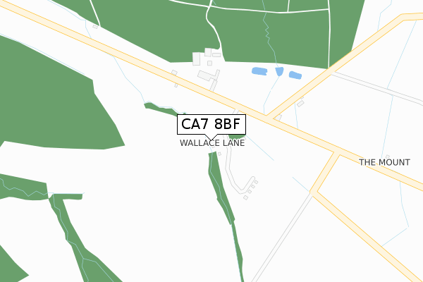
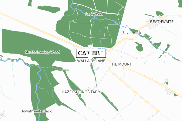
CA7 8BF is located in the Thursby electoral ward, within the unitary authority of Cumberland and the English Parliamentary constituency of Penrith and The Border. The Sub Integrated Care Board (ICB) Location is NHS North East and North Cumbria ICB - 01H and the police force is Cumbria. This postcode has been in use since May 2019.


GetTheData
Source: OS Open Zoomstack (Ordnance Survey)
Licence: Open Government Licence (requires attribution)
Attribution: Contains OS data © Crown copyright and database right 2025
Source: Open Postcode Geo
Licence: Open Government Licence (requires attribution)
Attribution: Contains OS data © Crown copyright and database right 2025; Contains Royal Mail data © Royal Mail copyright and database right 2025; Source: Office for National Statistics licensed under the Open Government Licence v.3.0
| Easting | 329091 |
| Northing | 543564 |
| Latitude | 54.781956 |
| Longitude | -3.104044 |
GetTheData
Source: Open Postcode Geo
Licence: Open Government Licence
| Country | England |
| Postcode District | CA7 |
➜ See where CA7 is on a map | |
GetTheData
Source: Land Registry Price Paid Data
Licence: Open Government Licence
| Ward | Thursby |
| Constituency | Penrith And The Border |
GetTheData
Source: ONS Postcode Database
Licence: Open Government Licence
GetTheData
Source: ONS Postcode Database
Licence: Open Government Licence
| Last Collection | |||
|---|---|---|---|
| Location | Mon-Fri | Sat | Distance |
| Brocklebank | 15:45 | 11:30 | 1,206m |
| Church Hill | 15:30 | 11:30 | 2,127m |
| Brackenthwaite | 11:30 | 09:30 | 3,143m |
GetTheData
Source: Dracos
Licence: Creative Commons Attribution-ShareAlike
The below table lists the International Territorial Level (ITL) codes (formerly Nomenclature of Territorial Units for Statistics (NUTS) codes) and Local Administrative Units (LAU) codes for CA7 8BF:
| ITL 1 Code | Name |
|---|---|
| TLD | North West (England) |
| ITL 2 Code | Name |
| TLD1 | Cumbria |
| ITL 3 Code | Name |
| TLD11 | West Cumbria |
| LAU 1 Code | Name |
| E07000026 | Allerdale |
GetTheData
Source: ONS Postcode Directory
Licence: Open Government Licence
The below table lists the Census Output Area (OA), Lower Layer Super Output Area (LSOA), and Middle Layer Super Output Area (MSOA) for CA7 8BF:
| Code | Name | |
|---|---|---|
| OA | E00096700 | |
| LSOA | E01019131 | Allerdale 002D |
| MSOA | E02003966 | Allerdale 002 |
GetTheData
Source: ONS Postcode Directory
Licence: Open Government Licence
| CA7 8DL | 365m | |
| CA7 8DH | 1468m | |
| CA7 8NA | Church Hill | 2170m |
| CA7 8LZ | Church Hill | 2212m |
| CA7 8AP | 2242m | |
| CA7 8DJ | 2293m | |
| CA7 8AL | 2499m | |
| CA7 8AG | 2512m | |
| CA7 8NG | 2632m | |
| CA7 8AJ | 2874m |
GetTheData
Source: Open Postcode Geo; Land Registry Price Paid Data
Licence: Open Government Licence