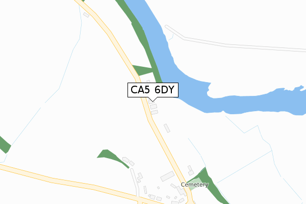
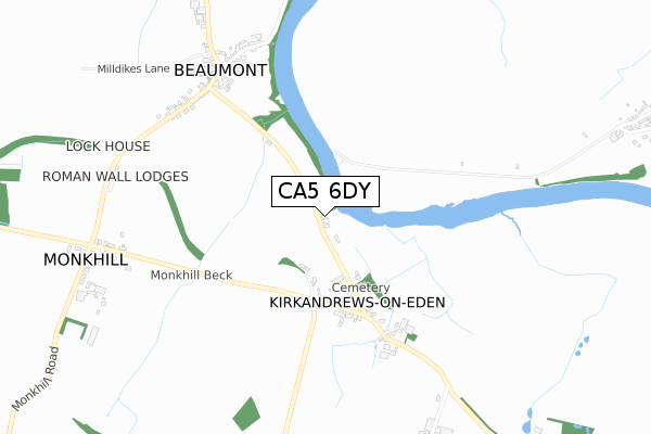
CA5 6DY is located in the Dalston and Burgh electoral ward, within the unitary authority of Cumberland and the English Parliamentary constituency of Carlisle. The Sub Integrated Care Board (ICB) Location is NHS North East and North Cumbria ICB - 01H and the police force is Cumbria. This postcode has been in use since April 2020.


GetTheData
Source: OS Open Zoomstack (Ordnance Survey)
Licence: Open Government Licence (requires attribution)
Attribution: Contains OS data © Crown copyright and database right 2025
Source: Open Postcode Geo
Licence: Open Government Licence (requires attribution)
Attribution: Contains OS data © Crown copyright and database right 2025; Contains Royal Mail data © Royal Mail copyright and database right 2025; Source: Office for National Statistics licensed under the Open Government Licence v.3.0
| Easting | 332634 |
| Northing | 558932 |
| Latitude | 54.920524 |
| Longitude | -3.052556 |
GetTheData
Source: Open Postcode Geo
Licence: Open Government Licence
| Country | England |
| Postcode District | CA5 |
➜ See where CA5 is on a map ➜ Where is Burgh by Sands? | |
GetTheData
Source: Land Registry Price Paid Data
Licence: Open Government Licence
| Ward | Dalston And Burgh |
| Constituency | Carlisle |
GetTheData
Source: ONS Postcode Database
Licence: Open Government Licence
| Village Hall (Unnamed Road) | Burgh By Sands | 192m |
| Village Hall (Unnamed Road) | Burgh By Sands | 204m |
| Crossroads (Unnamed Road) | Burgh By Sands | 241m |
| Crossroads (Unnamed Road) | Burgh By Sands | 269m |
| Post Office (Unnamed Road) | Burgh By Sands | 325m |
GetTheData
Source: NaPTAN
Licence: Open Government Licence
GetTheData
Source: ONS Postcode Database
Licence: Open Government Licence


➜ Get more ratings from the Food Standards Agency
GetTheData
Source: Food Standards Agency
Licence: FSA terms & conditions
| Last Collection | |||
|---|---|---|---|
| Location | Mon-Fri | Sat | Distance |
| Burgh Head | 12:00 | 09:30 | 247m |
| Burgh-by-sands | 16:50 | 09:30 | 400m |
| Monkhill | 11:00 | 07:45 | 1,792m |
GetTheData
Source: Dracos
Licence: Creative Commons Attribution-ShareAlike
The below table lists the International Territorial Level (ITL) codes (formerly Nomenclature of Territorial Units for Statistics (NUTS) codes) and Local Administrative Units (LAU) codes for CA5 6DY:
| ITL 1 Code | Name |
|---|---|
| TLD | North West (England) |
| ITL 2 Code | Name |
| TLD1 | Cumbria |
| ITL 3 Code | Name |
| TLD12 | East Cumbria |
| LAU 1 Code | Name |
| E07000028 | Carlisle |
GetTheData
Source: ONS Postcode Directory
Licence: Open Government Licence
The below table lists the Census Output Area (OA), Lower Layer Super Output Area (LSOA), and Middle Layer Super Output Area (MSOA) for CA5 6DY:
| Code | Name | |
|---|---|---|
| OA | E00097053 | |
| LSOA | E01019203 | Carlisle 005C |
| MSOA | E02003991 | Carlisle 005 |
GetTheData
Source: ONS Postcode Directory
Licence: Open Government Licence
| CA5 6AS | Amberfield | 83m |
| CA5 6AT | Ludgate Hill | 145m |
| CA5 6AP | 152m | |
| CA5 6AL | 208m | |
| CA5 6AN | 218m | |
| CA5 6AW | 327m | |
| CA5 6BE | The Pack | 340m |
| CA5 6AY | Ash Tree Square | 346m |
| CA5 6AZ | Station Road | 378m |
| CA5 6BG | Milton Lane | 400m |
GetTheData
Source: Open Postcode Geo; Land Registry Price Paid Data
Licence: Open Government Licence