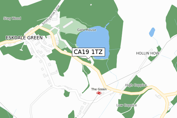
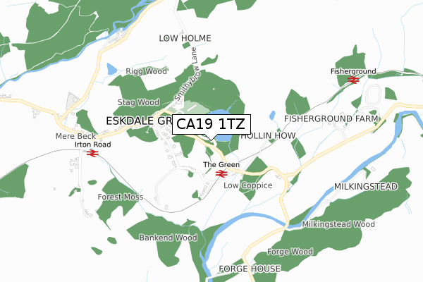
CA19 1TZ is in Eskdale, Holmrook. CA19 1TZ is located in the Millom Without electoral ward, within the unitary authority of Cumberland and the English Parliamentary constituency of Copeland. The Sub Integrated Care Board (ICB) Location is NHS North East and North Cumbria ICB - 01H and the police force is Cumbria. This postcode has been in use since January 1980.


GetTheData
Source: OS Open Zoomstack (Ordnance Survey)
Licence: Open Government Licence (requires attribution)
Attribution: Contains OS data © Crown copyright and database right 2024
Source: Open Postcode Geo
Licence: Open Government Licence (requires attribution)
Attribution: Contains OS data © Crown copyright and database right 2024; Contains Royal Mail data © Royal Mail copyright and database right 2024; Source: Office for National Statistics licensed under the Open Government Licence v.3.0
| Easting | 314288 |
| Northing | 500143 |
| Latitude | 54.389536 |
| Longitude | -3.321452 |
GetTheData
Source: Open Postcode Geo
Licence: Open Government Licence
| Locality | Eskdale |
| Town/City | Holmrook |
| Country | England |
| Postcode District | CA19 |
➜ See where CA19 is on a map ➜ Where is Eskdale Green? | |
GetTheData
Source: Land Registry Price Paid Data
Licence: Open Government Licence
Elevation or altitude of CA19 1TZ as distance above sea level:
| Metres | Feet | |
|---|---|---|
| Elevation | 40m | 131ft |
Elevation is measured from the approximate centre of the postcode, to the nearest point on an OS contour line from OS Terrain 50, which has contour spacing of ten vertical metres.
➜ How high above sea level am I? Find the elevation of your current position using your device's GPS.
GetTheData
Source: Open Postcode Elevation
Licence: Open Government Licence
| Ward | Millom Without |
| Constituency | Copeland |
GetTheData
Source: ONS Postcode Database
Licence: Open Government Licence
YATTUS, ESKDALE, HOLMROOK, CA19 1TZ 1999 26 NOV £93,000 |
GetTheData
Source: HM Land Registry Price Paid Data
Licence: Contains HM Land Registry data © Crown copyright and database right 2024. This data is licensed under the Open Government Licence v3.0.
| Outward Bound School (Unnamed Road) | Eskdale Green | 56m |
| Eskdale Green (Ravenglass And Eskdale Railway) | Eskdale | 390m |
| Irton Road (Ravenglass And Eskdale Railway) (Irton Road) | Eskdale Green | 598m |
| Fisherground (Ravenglass And Eskdale Railway) | Eskdale | 787m |
GetTheData
Source: NaPTAN
Licence: Open Government Licence
GetTheData
Source: ONS Postcode Database
Licence: Open Government Licence


➜ Get more ratings from the Food Standards Agency
GetTheData
Source: Food Standards Agency
Licence: FSA terms & conditions
| Last Collection | |||
|---|---|---|---|
| Location | Mon-Fri | Sat | Distance |
| Eskdale | 16:00 | 12:15 | 116m |
| Moor Wood | 16:00 | 12:00 | 693m |
| Fell View | 16:00 | 12:15 | 969m |
GetTheData
Source: Dracos
Licence: Creative Commons Attribution-ShareAlike
The below table lists the International Territorial Level (ITL) codes (formerly Nomenclature of Territorial Units for Statistics (NUTS) codes) and Local Administrative Units (LAU) codes for CA19 1TZ:
| ITL 1 Code | Name |
|---|---|
| TLD | North West (England) |
| ITL 2 Code | Name |
| TLD1 | Cumbria |
| ITL 3 Code | Name |
| TLD11 | West Cumbria |
| LAU 1 Code | Name |
| E07000029 | Copeland |
GetTheData
Source: ONS Postcode Directory
Licence: Open Government Licence
The below table lists the Census Output Area (OA), Lower Layer Super Output Area (LSOA), and Middle Layer Super Output Area (MSOA) for CA19 1TZ:
| Code | Name | |
|---|---|---|
| OA | E00097562 | |
| LSOA | E01019304 | Copeland 007F |
| MSOA | E02004006 | Copeland 007 |
GetTheData
Source: ONS Postcode Directory
Licence: Open Government Licence
| CA19 1UD | Gatesyde Place | 67m |
| CA19 1TY | 106m | |
| CA19 1TX | 169m | |
| CA19 1UA | 220m | |
| CA19 1UE | 416m | |
| CA19 1TL | 437m | |
| CA19 1TW | 636m | |
| CA19 1TS | 673m | |
| CA19 1TR | 708m | |
| CA19 1XA | 1946m |
GetTheData
Source: Open Postcode Geo; Land Registry Price Paid Data
Licence: Open Government Licence