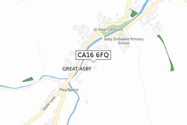
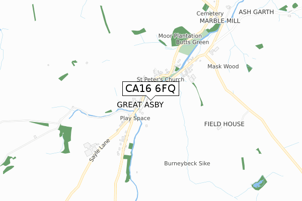
CA16 6FQ is located in the Eden and Lyvennet Vale electoral ward, within the unitary authority of Westmorland and Furness and the English Parliamentary constituency of Penrith and The Border. The Sub Integrated Care Board (ICB) Location is NHS North East and North Cumbria ICB - 01H and the police force is Cumbria. This postcode has been in use since July 2019.


GetTheData
Source: OS Open Zoomstack (Ordnance Survey)
Licence: Open Government Licence (requires attribution)
Attribution: Contains OS data © Crown copyright and database right 2025
Source: Open Postcode Geo
Licence: Open Government Licence (requires attribution)
Attribution: Contains OS data © Crown copyright and database right 2025; Contains Royal Mail data © Royal Mail copyright and database right 2025; Source: Office for National Statistics licensed under the Open Government Licence v.3.0
| Easting | 368002 |
| Northing | 513074 |
| Latitude | 54.511962 |
| Longitude | -2.495737 |
GetTheData
Source: Open Postcode Geo
Licence: Open Government Licence
| Country | England |
| Postcode District | CA16 |
➜ See where CA16 is on a map ➜ Where is Great Asby? | |
GetTheData
Source: Land Registry Price Paid Data
Licence: Open Government Licence
| Ward | Eden And Lyvennet Vale |
| Constituency | Penrith And The Border |
GetTheData
Source: ONS Postcode Database
Licence: Open Government Licence
| St Peters Church (Sayle Lane) | Great Asby | 124m |
GetTheData
Source: NaPTAN
Licence: Open Government Licence
GetTheData
Source: ONS Postcode Database
Licence: Open Government Licence


➜ Get more ratings from the Food Standards Agency
GetTheData
Source: Food Standards Agency
Licence: FSA terms & conditions
| Last Collection | |||
|---|---|---|---|
| Location | Mon-Fri | Sat | Distance |
| Gt. Asby | 15:45 | 09:30 | 177m |
| Townhead, Gt Asby | 15:45 | 09:30 | 208m |
| Drybeck | 12:00 | 09:00 | 2,790m |
GetTheData
Source: Dracos
Licence: Creative Commons Attribution-ShareAlike
The below table lists the International Territorial Level (ITL) codes (formerly Nomenclature of Territorial Units for Statistics (NUTS) codes) and Local Administrative Units (LAU) codes for CA16 6FQ:
| ITL 1 Code | Name |
|---|---|
| TLD | North West (England) |
| ITL 2 Code | Name |
| TLD1 | Cumbria |
| ITL 3 Code | Name |
| TLD12 | East Cumbria |
| LAU 1 Code | Name |
| E07000030 | Eden |
GetTheData
Source: ONS Postcode Directory
Licence: Open Government Licence
The below table lists the Census Output Area (OA), Lower Layer Super Output Area (LSOA), and Middle Layer Super Output Area (MSOA) for CA16 6FQ:
| Code | Name | |
|---|---|---|
| OA | E00097596 | |
| LSOA | E01019310 | Eden 006C |
| MSOA | E02004013 | Eden 006 |
GetTheData
Source: ONS Postcode Directory
Licence: Open Government Licence
| CA16 6EX | 87m | |
| CA16 6EZ | Sunnyside | 91m |
| CA16 6HD | 95m | |
| CA16 6HA | River View | 111m |
| CA16 6GZ | Riverside View | 166m |
| CA16 6HG | Burney Beck Cottages | 196m |
| CA16 6HB | North View | 274m |
| CA16 6EN | Asby Hall Mews | 361m |
| CA16 6EU | Park View | 409m |
| CA16 6ET | 1120m |
GetTheData
Source: Open Postcode Geo; Land Registry Price Paid Data
Licence: Open Government Licence