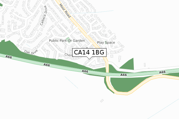
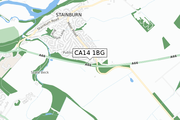
CA14 1BG is located in the St John's and Great Clifton electoral ward, within the unitary authority of Cumberland and the English Parliamentary constituency of Workington. The Sub Integrated Care Board (ICB) Location is NHS North East and North Cumbria ICB - 01H and the police force is Cumbria. This postcode has been in use since March 2018.


GetTheData
Source: OS Open Zoomstack (Ordnance Survey)
Licence: Open Government Licence (requires attribution)
Attribution: Contains OS data © Crown copyright and database right 2025
Source: Open Postcode Geo
Licence: Open Government Licence (requires attribution)
Attribution: Contains OS data © Crown copyright and database right 2025; Contains Royal Mail data © Royal Mail copyright and database right 2025; Source: Office for National Statistics licensed under the Open Government Licence v.3.0
| Easting | 302271 |
| Northing | 528501 |
| Latitude | 54.642129 |
| Longitude | -3.515849 |
GetTheData
Source: Open Postcode Geo
Licence: Open Government Licence
| Country | England |
| Postcode District | CA14 |
➜ See where CA14 is on a map | |
GetTheData
Source: Land Registry Price Paid Data
Licence: Open Government Licence
| Ward | St John's And Great Clifton |
| Constituency | Workington |
GetTheData
Source: ONS Postcode Database
Licence: Open Government Licence
| The Briery (Stainburn Road) | Stainburn | 703m |
| Derwent Meadows (A66) | Stainburn | 723m |
| Greenside (Stainburn Road) | Stainburn | 807m |
| Greenside (Stainburn Road) | Stainburn | 820m |
| Summerfield (Stainburn Road) | Stainburn | 979m |
| Workington Station | 2.8km |
| Harrington Station | 4.5km |
GetTheData
Source: NaPTAN
Licence: Open Government Licence
| Percentage of properties with Next Generation Access | 100.0% |
| Percentage of properties with Superfast Broadband | 100.0% |
| Percentage of properties with Ultrafast Broadband | 0.0% |
| Percentage of properties with Full Fibre Broadband | 0.0% |
Superfast Broadband is between 30Mbps and 300Mbps
Ultrafast Broadband is > 300Mbps
| Median download speed | 37.6Mbps |
| Average download speed | 26.9Mbps |
| Maximum download speed | 39.06Mbps |
| Median upload speed | 6.3Mbps |
| Average upload speed | 5.9Mbps |
| Maximum upload speed | 11.82Mbps |
| Percentage of properties unable to receive 2Mbps | 0.0% |
| Percentage of properties unable to receive 5Mbps | 0.0% |
| Percentage of properties unable to receive 10Mbps | 0.0% |
| Percentage of properties unable to receive 30Mbps | 0.0% |
GetTheData
Source: Ofcom
Licence: Ofcom Terms of Use (requires attribution)
GetTheData
Source: ONS Postcode Database
Licence: Open Government Licence


➜ Get more ratings from the Food Standards Agency
GetTheData
Source: Food Standards Agency
Licence: FSA terms & conditions
| Last Collection | |||
|---|---|---|---|
| Location | Mon-Fri | Sat | Distance |
| Brierydale Lane | 17:15 | 11:30 | 558m |
| Stainburn Road | 17:15 | 11:30 | 827m |
| Bare Pot | 15:45 | 10:30 | 1,295m |
GetTheData
Source: Dracos
Licence: Creative Commons Attribution-ShareAlike
The below table lists the International Territorial Level (ITL) codes (formerly Nomenclature of Territorial Units for Statistics (NUTS) codes) and Local Administrative Units (LAU) codes for CA14 1BG:
| ITL 1 Code | Name |
|---|---|
| TLD | North West (England) |
| ITL 2 Code | Name |
| TLD1 | Cumbria |
| ITL 3 Code | Name |
| TLD11 | West Cumbria |
| LAU 1 Code | Name |
| E07000026 | Allerdale |
GetTheData
Source: ONS Postcode Directory
Licence: Open Government Licence
The below table lists the Census Output Area (OA), Lower Layer Super Output Area (LSOA), and Middle Layer Super Output Area (MSOA) for CA14 1BG:
| Code | Name | |
|---|---|---|
| OA | E00096689 | |
| LSOA | E01019129 | Allerdale 011D |
| MSOA | E02003975 | Allerdale 011 |
GetTheData
Source: ONS Postcode Directory
Licence: Open Government Licence
| CA14 1WU | Juniper Drive | 120m |
| CA14 1XP | Wentworth Park | 157m |
| CA14 1XW | Moor Road | 169m |
| CA14 1WY | Oak Drive | 228m |
| CA14 1WW | Elder Drive | 240m |
| CA14 1XN | Moor Road | 250m |
| CA14 4UW | Linden Walk | 310m |
| CA14 1YY | St Andrews Road | 345m |
| CA14 4UN | Caldbeck Drive | 361m |
| CA14 4UJ | Moorlands Drive | 426m |
GetTheData
Source: Open Postcode Geo; Land Registry Price Paid Data
Licence: Open Government Licence