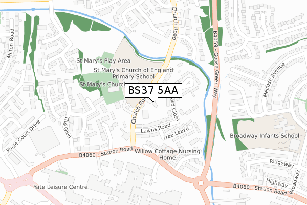
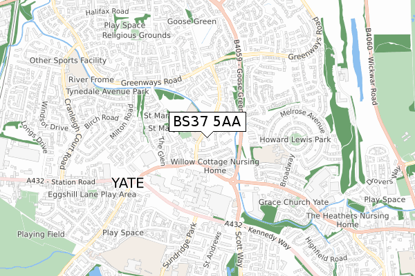
BS37 5AA is located in the Frampton Cotterell electoral ward, within the unitary authority of South Gloucestershire and the English Parliamentary constituency of Thornbury and Yate. The Sub Integrated Care Board (ICB) Location is NHS Bristol, North Somerset and South Gloucestershire ICB - 15C and the police force is Avon and Somerset. This postcode has been in use since November 2021.


GetTheData
Source: OS Open Zoomstack (Ordnance Survey)
Licence: Open Government Licence (requires attribution)
Attribution: Contains OS data © Crown copyright and database right 2024
Source: Open Postcode Geo
Licence: Open Government Licence (requires attribution)
Attribution: Contains OS data © Crown copyright and database right 2024; Contains Royal Mail data © Royal Mail copyright and database right 2024; Source: Office for National Statistics licensed under the Open Government Licence v.3.0
| Easting | 369418 |
| Northing | 183067 |
| Latitude | 51.545661 |
| Longitude | -2.442403 |
GetTheData
Source: Open Postcode Geo
Licence: Open Government Licence
| Country | England |
| Postcode District | BS37 |
➜ See where BS37 is on a map ➜ Where is Yate? | |
GetTheData
Source: Land Registry Price Paid Data
Licence: Open Government Licence
| Ward | Frampton Cotterell |
| Constituency | Thornbury And Yate |
GetTheData
Source: ONS Postcode Database
Licence: Open Government Licence
| Armstrong Way (Iron Acton Way) | Yate | 153m |
| Armstrong Way (Iron Acton Way) | Yate | 166m |
| Waverley Road (Stover Road) | Yate | 576m |
| Waverley Road (Stover Road) | Yate | 585m |
| Victoria Garage | Iron Acton | 593m |
| Yate Station | 0.9km |
GetTheData
Source: NaPTAN
Licence: Open Government Licence
GetTheData
Source: ONS Postcode Database
Licence: Open Government Licence


➜ Get more ratings from the Food Standards Agency
GetTheData
Source: Food Standards Agency
Licence: FSA terms & conditions
| Last Collection | |||
|---|---|---|---|
| Location | Mon-Fri | Sat | Distance |
| Waverley Road | 16:45 | 08:00 | 318m |
| Dyers Lane | 16:00 | 09:00 | 406m |
| Stover Trading Estate | 18:30 | 456m | |
GetTheData
Source: Dracos
Licence: Creative Commons Attribution-ShareAlike
The below table lists the International Territorial Level (ITL) codes (formerly Nomenclature of Territorial Units for Statistics (NUTS) codes) and Local Administrative Units (LAU) codes for BS37 5AA:
| ITL 1 Code | Name |
|---|---|
| TLK | South West (England) |
| ITL 2 Code | Name |
| TLK1 | Gloucestershire, Wiltshire and Bath/Bristol area |
| ITL 3 Code | Name |
| TLK12 | Bath and North East Somerset, North Somerset and South Gloucestershire |
| LAU 1 Code | Name |
| E06000025 | South Gloucestershire |
GetTheData
Source: ONS Postcode Directory
Licence: Open Government Licence
The below table lists the Census Output Area (OA), Lower Layer Super Output Area (LSOA), and Middle Layer Super Output Area (MSOA) for BS37 5AA:
| Code | Name | |
|---|---|---|
| OA | E00075432 | |
| LSOA | E01014929 | South Gloucestershire 003C |
| MSOA | E02003092 | South Gloucestershire 003 |
GetTheData
Source: ONS Postcode Directory
Licence: Open Government Licence
| BS37 5NA | The Oaklands Business Park | 103m |
| BS37 5JL | Yate Road | 193m |
| BS37 9XX | Yate Road | 241m |
| BS37 9XT | Dyers Lane | 310m |
| BS37 5JJ | Bridge Road | 363m |
| BS37 5JN | Stover Road | 431m |
| BS37 7LE | Lodge Road | 577m |
| BS37 9XY | Yate Road | 601m |
| BS37 7PR | North Road | 606m |
| BS37 5NJ | Dean Court | 610m |
GetTheData
Source: Open Postcode Geo; Land Registry Price Paid Data
Licence: Open Government Licence