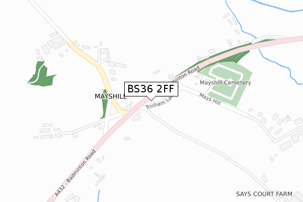
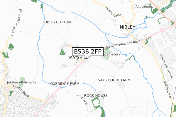
BS36 2FF is located in the Frampton Cotterell electoral ward, within the unitary authority of South Gloucestershire and the English Parliamentary constituency of Thornbury and Yate. The Sub Integrated Care Board (ICB) Location is NHS Bristol, North Somerset and South Gloucestershire ICB - 15C and the police force is Avon and Somerset. This postcode has been in use since May 2018.


GetTheData
Source: OS Open Zoomstack (Ordnance Survey)
Licence: Open Government Licence (requires attribution)
Attribution: Contains OS data © Crown copyright and database right 2024
Source: Open Postcode Geo
Licence: Open Government Licence (requires attribution)
Attribution: Contains OS data © Crown copyright and database right 2024; Contains Royal Mail data © Royal Mail copyright and database right 2024; Source: Office for National Statistics licensed under the Open Government Licence v.3.0
| Easting | 368579 |
| Northing | 182051 |
| Latitude | 51.536480 |
| Longitude | -2.454411 |
GetTheData
Source: Open Postcode Geo
Licence: Open Government Licence
| Country | England |
| Postcode District | BS36 |
➜ See where BS36 is on a map ➜ Where is Mayshill? | |
GetTheData
Source: Land Registry Price Paid Data
Licence: Open Government Licence
| Ward | Frampton Cotterell |
| Constituency | Thornbury And Yate |
GetTheData
Source: ONS Postcode Database
Licence: Open Government Licence
| The New Inn | Mayshill | 167m |
| The New Inn (Badminton Road) | Mayshill | 168m |
| The Swan | Nibley | 797m |
| The Swan (Badminton Road) | Nibley | 825m |
| Church Road (Badminton Road) | Coalpit Heath | 854m |
| Yate Station | 1.6km |
GetTheData
Source: NaPTAN
Licence: Open Government Licence
| Percentage of properties with Next Generation Access | 100.0% |
| Percentage of properties with Superfast Broadband | 100.0% |
| Percentage of properties with Ultrafast Broadband | 0.0% |
| Percentage of properties with Full Fibre Broadband | 0.0% |
Superfast Broadband is between 30Mbps and 300Mbps
Ultrafast Broadband is > 300Mbps
| Percentage of properties unable to receive 2Mbps | 0.0% |
| Percentage of properties unable to receive 5Mbps | 0.0% |
| Percentage of properties unable to receive 10Mbps | 0.0% |
| Percentage of properties unable to receive 30Mbps | 0.0% |
GetTheData
Source: Ofcom
Licence: Ofcom Terms of Use (requires attribution)
GetTheData
Source: ONS Postcode Database
Licence: Open Government Licence


➜ Get more ratings from the Food Standards Agency
GetTheData
Source: Food Standards Agency
Licence: FSA terms & conditions
| Last Collection | |||
|---|---|---|---|
| Location | Mon-Fri | Sat | Distance |
| Nibley | 16:00 | 08:45 | 690m |
| Mayshill | 17:00 | 08:45 | 703m |
| Half Moon Inn | 16:45 | 09:00 | 992m |
GetTheData
Source: Dracos
Licence: Creative Commons Attribution-ShareAlike
The below table lists the International Territorial Level (ITL) codes (formerly Nomenclature of Territorial Units for Statistics (NUTS) codes) and Local Administrative Units (LAU) codes for BS36 2FF:
| ITL 1 Code | Name |
|---|---|
| TLK | South West (England) |
| ITL 2 Code | Name |
| TLK1 | Gloucestershire, Wiltshire and Bath/Bristol area |
| ITL 3 Code | Name |
| TLK12 | Bath and North East Somerset, North Somerset and South Gloucestershire |
| LAU 1 Code | Name |
| E06000025 | South Gloucestershire |
GetTheData
Source: ONS Postcode Directory
Licence: Open Government Licence
The below table lists the Census Output Area (OA), Lower Layer Super Output Area (LSOA), and Middle Layer Super Output Area (MSOA) for BS36 2FF:
| Code | Name | |
|---|---|---|
| OA | E00075756 | |
| LSOA | E01014994 | South Gloucestershire 019D |
| MSOA | E02003108 | South Gloucestershire 019 |
GetTheData
Source: ONS Postcode Directory
Licence: Open Government Licence
| BS36 2NT | Badminton Road | 120m |
| BS36 2NU | Badminton Road | 156m |
| BS36 2NS | Mays Hill | 343m |
| BS36 2NR | Badminton Road | 518m |
| BS36 2NW | The Willows | 550m |
| BS37 5JQ | Mill Cottages | 654m |
| BS37 5JG | Nibley Lane | 668m |
| BS37 5JH | Hope Road | 724m |
| BS37 5JF | Badminton Road | 751m |
| BS37 5HL | Nibley Lane | 760m |
GetTheData
Source: Open Postcode Geo; Land Registry Price Paid Data
Licence: Open Government Licence