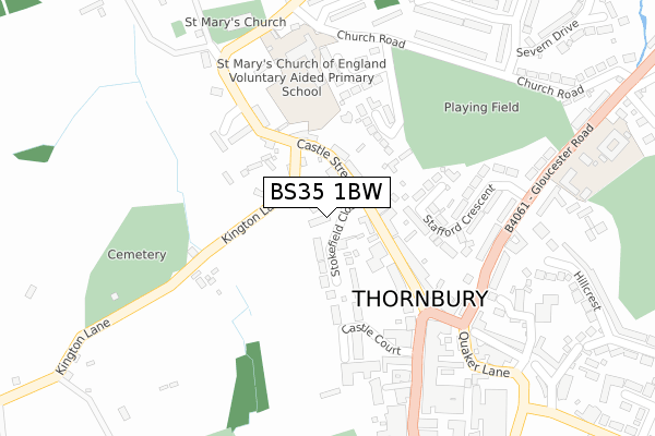
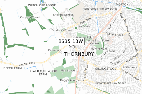
BS35 1BW is located in the Thornbury electoral ward, within the unitary authority of South Gloucestershire and the English Parliamentary constituency of Thornbury and Yate. The Sub Integrated Care Board (ICB) Location is NHS Bristol, North Somerset and South Gloucestershire ICB - 15C and the police force is Avon and Somerset. This postcode has been in use since January 2020.


GetTheData
Source: OS Open Zoomstack (Ordnance Survey)
Licence: Open Government Licence (requires attribution)
Attribution: Contains OS data © Crown copyright and database right 2025
Source: Open Postcode Geo
Licence: Open Government Licence (requires attribution)
Attribution: Contains OS data © Crown copyright and database right 2025; Contains Royal Mail data © Royal Mail copyright and database right 2025; Source: Office for National Statistics licensed under the Open Government Licence v.3.0
| Easting | 363502 |
| Northing | 190308 |
| Latitude | 51.610414 |
| Longitude | -2.528469 |
GetTheData
Source: Open Postcode Geo
Licence: Open Government Licence
| Country | England |
| Postcode District | BS35 |
➜ See where BS35 is on a map ➜ Where is Thornbury? | |
GetTheData
Source: Land Registry Price Paid Data
Licence: Open Government Licence
| Ward | Thornbury |
| Constituency | Thornbury And Yate |
GetTheData
Source: ONS Postcode Database
Licence: Open Government Licence
| Stokefield Close (Castle Street) | Thornbury | 92m |
| Stokefield Close (Castle Street) | Thornbury | 97m |
| The Plain (High Street) | Thornbury | 248m |
| Buckingham Parade | Thornbury | 296m |
| Castle Upper School (Gloucester Road) | Thornbury | 391m |
GetTheData
Source: NaPTAN
Licence: Open Government Licence
GetTheData
Source: ONS Postcode Database
Licence: Open Government Licence


➜ Get more ratings from the Food Standards Agency
GetTheData
Source: Food Standards Agency
Licence: FSA terms & conditions
| Last Collection | |||
|---|---|---|---|
| Location | Mon-Fri | Sat | Distance |
| Castle Street | 16:30 | 09:30 | 92m |
| Thornbury Post Office | 17:30 | 11:15 | 258m |
| Thornbury Post Office | 17:30 | 11:15 | 258m |
GetTheData
Source: Dracos
Licence: Creative Commons Attribution-ShareAlike
The below table lists the International Territorial Level (ITL) codes (formerly Nomenclature of Territorial Units for Statistics (NUTS) codes) and Local Administrative Units (LAU) codes for BS35 1BW:
| ITL 1 Code | Name |
|---|---|
| TLK | South West (England) |
| ITL 2 Code | Name |
| TLK1 | Gloucestershire, Wiltshire and Bath/Bristol area |
| ITL 3 Code | Name |
| TLK12 | Bath and North East Somerset, North Somerset and South Gloucestershire |
| LAU 1 Code | Name |
| E06000025 | South Gloucestershire |
GetTheData
Source: ONS Postcode Directory
Licence: Open Government Licence
The below table lists the Census Output Area (OA), Lower Layer Super Output Area (LSOA), and Middle Layer Super Output Area (MSOA) for BS35 1BW:
| Code | Name | |
|---|---|---|
| OA | E00075716 | |
| LSOA | E01014986 | South Gloucestershire 001B |
| MSOA | E02003090 | South Gloucestershire 001 |
GetTheData
Source: ONS Postcode Directory
Licence: Open Government Licence
| BS35 1HE | Stokefield Close | 85m |
| BS35 1HB | Castle Street | 122m |
| BS35 1HA | Castle Street | 144m |
| BS35 1EZ | Warwick Place | 176m |
| BS35 1EN | Clare Walk | 176m |
| BS35 1EW | Orchard Grange | 218m |
| BS35 1DH | Stafford Crescent | 241m |
| BS35 2AG | The Plain | 260m |
| BS35 1HJ | Church Road | 267m |
| BS35 2AQ | High Street | 277m |
GetTheData
Source: Open Postcode Geo; Land Registry Price Paid Data
Licence: Open Government Licence