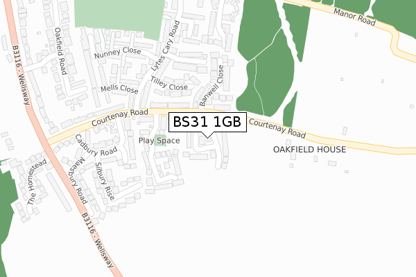
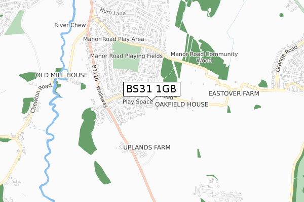
BS31 1GB is located in the Keynsham East electoral ward, within the unitary authority of Bath and North East Somerset and the English Parliamentary constituency of North East Somerset. The Sub Integrated Care Board (ICB) Location is NHS Bath and North East Somerset, Swindon and Wiltshire ICB - 92 and the police force is Avon and Somerset. This postcode has been in use since September 2018.


GetTheData
Source: OS Open Zoomstack (Ordnance Survey)
Licence: Open Government Licence (requires attribution)
Attribution: Contains OS data © Crown copyright and database right 2025
Source: Open Postcode Geo
Licence: Open Government Licence (requires attribution)
Attribution: Contains OS data © Crown copyright and database right 2025; Contains Royal Mail data © Royal Mail copyright and database right 2025; Source: Office for National Statistics licensed under the Open Government Licence v.3.0
| Easting | 366905 |
| Northing | 168952 |
| Latitude | 51.418606 |
| Longitude | -2.477314 |
GetTheData
Source: Open Postcode Geo
Licence: Open Government Licence
| Country | England |
| Postcode District | BS31 |
➜ See where BS31 is on a map | |
GetTheData
Source: Land Registry Price Paid Data
Licence: Open Government Licence
| Ward | Keynsham East |
| Constituency | North East Somerset |
GetTheData
Source: ONS Postcode Database
Licence: Open Government Licence
| Waitrose | Keynsham | 675m |
| Ellsbridge House (Bath Road) | Keynsham | 775m |
| The Marina (Keysham Road) | Willsbridge | 816m |
| The Marina (Keynsham Road) | Willsbridge | 820m |
| Ellsbridge House | Keynsham | 828m |
| Bitton (Avon Valley Railway) | Bitton | 1,308m |
| Keynsham Station | 1.3km |
GetTheData
Source: NaPTAN
Licence: Open Government Licence
GetTheData
Source: ONS Postcode Database
Licence: Open Government Licence


➜ Get more ratings from the Food Standards Agency
GetTheData
Source: Food Standards Agency
Licence: FSA terms & conditions
| Last Collection | |||
|---|---|---|---|
| Location | Mon-Fri | Sat | Distance |
| Cherry Gardens | 16:15 | 12:00 | 1,261m |
| Chandag Road Post Office | 17:00 | 11:45 | 1,343m |
| Station Road | 17:30 | 12:30 | 1,379m |
GetTheData
Source: Dracos
Licence: Creative Commons Attribution-ShareAlike
The below table lists the International Territorial Level (ITL) codes (formerly Nomenclature of Territorial Units for Statistics (NUTS) codes) and Local Administrative Units (LAU) codes for BS31 1GB:
| ITL 1 Code | Name |
|---|---|
| TLK | South West (England) |
| ITL 2 Code | Name |
| TLK1 | Gloucestershire, Wiltshire and Bath/Bristol area |
| ITL 3 Code | Name |
| TLK12 | Bath and North East Somerset, North Somerset and South Gloucestershire |
| LAU 1 Code | Name |
| E06000022 | Bath and North East Somerset |
GetTheData
Source: ONS Postcode Directory
Licence: Open Government Licence
The below table lists the Census Output Area (OA), Lower Layer Super Output Area (LSOA), and Middle Layer Super Output Area (MSOA) for BS31 1GB:
| Code | Name | |
|---|---|---|
| OA | E00072715 | |
| LSOA | E01014396 | Bath and North East Somerset 003B |
| MSOA | E02002987 | Bath and North East Somerset 003 |
GetTheData
Source: ONS Postcode Directory
Licence: Open Government Licence
| BS31 1ST | Broadmead Lane | 360m |
| BS31 1SX | Ashmead Road | 578m |
| BS31 2DE | Keynsham Road | 775m |
| BS31 1TA | Bath Road | 821m |
| BS31 1TD | Bath Road | 822m |
| BS31 1NQ | Unity Road | 835m |
| BS31 1NF | Chelsea Close | 849m |
| BS31 1TB | Ellsbridge Close | 850m |
| BS31 1SR | Bath Road | 862m |
| BS31 1NE | Lytton Grove | 874m |
GetTheData
Source: Open Postcode Geo; Land Registry Price Paid Data
Licence: Open Government Licence