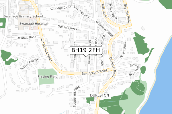
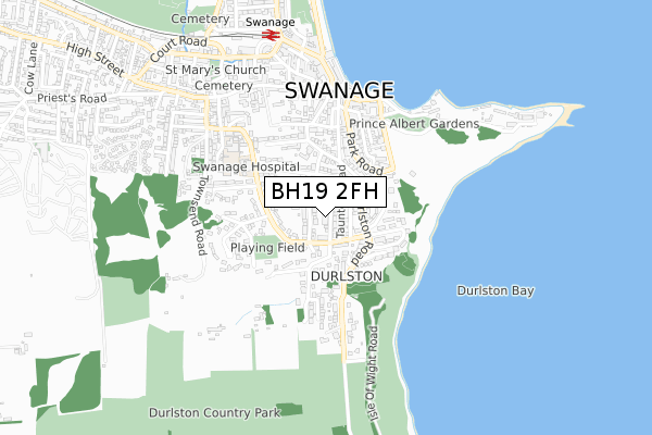
BH19 2FH is located in the Swanage electoral ward, within the unitary authority of Dorset and the English Parliamentary constituency of South Dorset. The Sub Integrated Care Board (ICB) Location is NHS Dorset ICB - 11J and the police force is Dorset. This postcode has been in use since April 2020.


GetTheData
Source: OS Open Zoomstack (Ordnance Survey)
Licence: Open Government Licence (requires attribution)
Attribution: Contains OS data © Crown copyright and database right 2025
Source: Open Postcode Geo
Licence: Open Government Licence (requires attribution)
Attribution: Contains OS data © Crown copyright and database right 2025; Contains Royal Mail data © Royal Mail copyright and database right 2025; Source: Office for National Statistics licensed under the Open Government Licence v.3.0
| Easting | 403366 |
| Northing | 78666 |
| Latitude | 50.607690 |
| Longitude | -1.953786 |
GetTheData
Source: Open Postcode Geo
Licence: Open Government Licence
| Country | England |
| Postcode District | BH19 |
➜ See where BH19 is on a map ➜ Where is Swanage? | |
GetTheData
Source: Land Registry Price Paid Data
Licence: Open Government Licence
| Ward | Swanage |
| Constituency | South Dorset |
GetTheData
Source: ONS Postcode Database
Licence: Open Government Licence
| Pier Approach (High Street) | Swanage | 31m |
| Swanage Pier Approach (High Street) | Swanage | 39m |
| Pier Head (Pier Approach) | Swanage | 45m |
| Pier Head (Pier Approach) | Swanage | 59m |
| The Mowlem (Shore Road) | Swanage | 276m |
| Swanage (Swanage Railway) (Station Road) | Swanage | 525m |
GetTheData
Source: NaPTAN
Licence: Open Government Licence
GetTheData
Source: ONS Postcode Database
Licence: Open Government Licence


➜ Get more ratings from the Food Standards Agency
GetTheData
Source: Food Standards Agency
Licence: FSA terms & conditions
| Last Collection | |||
|---|---|---|---|
| Location | Mon-Fri | Sat | Distance |
| High Street | 16:00 | 12:00 | 43m |
| Park Road | 16:00 | 12:00 | 244m |
| Stafford Road | 17:30 | 12:00 | 273m |
GetTheData
Source: Dracos
Licence: Creative Commons Attribution-ShareAlike
The below table lists the International Territorial Level (ITL) codes (formerly Nomenclature of Territorial Units for Statistics (NUTS) codes) and Local Administrative Units (LAU) codes for BH19 2FH:
| ITL 1 Code | Name |
|---|---|
| TLK | South West (England) |
| ITL 2 Code | Name |
| TLK2 | Dorset and Somerset |
| ITL 3 Code | Name |
| TLK25 | Dorset |
| LAU 1 Code | Name |
| E06000059 | Dorset |
GetTheData
Source: ONS Postcode Directory
Licence: Open Government Licence
The below table lists the Census Output Area (OA), Lower Layer Super Output Area (LSOA), and Middle Layer Super Output Area (MSOA) for BH19 2FH:
| Code | Name | |
|---|---|---|
| OA | E00103836 | |
| LSOA | E01020481 | Purbeck 006D |
| MSOA | E02004268 | Purbeck 006 |
GetTheData
Source: ONS Postcode Directory
Licence: Open Government Licence
| BH19 2AQ | Seymer Road | 35m |
| BH19 2LN | High Street | 69m |
| BH19 2PJ | Burts Lane | 80m |
| BH19 2AF | Marshall Row | 102m |
| BH19 2NT | High Street | 108m |
| BH19 2AZ | Peveril Heights | 110m |
| BH19 2LP | High Street | 113m |
| BH19 2PL | Cliff Place | 121m |
| BH19 2AJ | Seymer Place | 134m |
| BH19 2AG | Sentry Road | 149m |
GetTheData
Source: Open Postcode Geo; Land Registry Price Paid Data
Licence: Open Government Licence