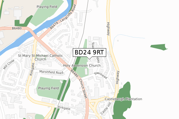
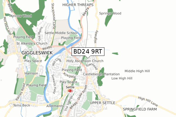
BD24 9RT is located in the Settle & Penyghent electoral ward, within the unitary authority of North Yorkshire and the English Parliamentary constituency of Skipton and Ripon. The Sub Integrated Care Board (ICB) Location is NHS West Yorkshire ICB - 36J and the police force is North Yorkshire. This postcode has been in use since June 2018.


GetTheData
Source: OS Open Zoomstack (Ordnance Survey)
Licence: Open Government Licence (requires attribution)
Attribution: Contains OS data © Crown copyright and database right 2025
Source: Open Postcode Geo
Licence: Open Government Licence (requires attribution)
Attribution: Contains OS data © Crown copyright and database right 2025; Contains Royal Mail data © Royal Mail copyright and database right 2025; Source: Office for National Statistics licensed under the Open Government Licence v.3.0
| Easting | 381971 |
| Northing | 463943 |
| Latitude | 54.071113 |
| Longitude | -2.277001 |
GetTheData
Source: Open Postcode Geo
Licence: Open Government Licence
| Country | England |
| Postcode District | BD24 |
➜ See where BD24 is on a map ➜ Where is Settle? | |
GetTheData
Source: Land Registry Price Paid Data
Licence: Open Government Licence
| Ward | Settle & Penyghent |
| Constituency | Skipton And Ripon |
GetTheData
Source: ONS Postcode Database
Licence: Open Government Licence
| Bridge End (Church Street) | Settle | 225m |
| Penyghent View (B6480) | Settle | 236m |
| Market Place (Church Street) | Settle | 265m |
| Market Place (Kirkgate) | Settle | 267m |
| Watershed Mill (Langcliffe Road) | Settle | 380m |
| Settle Station | 0.5km |
| Giggleswick Station | 2km |
GetTheData
Source: NaPTAN
Licence: Open Government Licence
| Percentage of properties with Next Generation Access | 100.0% |
| Percentage of properties with Superfast Broadband | 100.0% |
| Percentage of properties with Ultrafast Broadband | 0.0% |
| Percentage of properties with Full Fibre Broadband | 0.0% |
Superfast Broadband is between 30Mbps and 300Mbps
Ultrafast Broadband is > 300Mbps
| Percentage of properties unable to receive 2Mbps | 0.0% |
| Percentage of properties unable to receive 5Mbps | 0.0% |
| Percentage of properties unable to receive 10Mbps | 0.0% |
| Percentage of properties unable to receive 30Mbps | 0.0% |
GetTheData
Source: Ofcom
Licence: Ofcom Terms of Use (requires attribution)
GetTheData
Source: ONS Postcode Database
Licence: Open Government Licence


➜ Get more ratings from the Food Standards Agency
GetTheData
Source: Food Standards Agency
Licence: FSA terms & conditions
| Last Collection | |||
|---|---|---|---|
| Location | Mon-Fri | Sat | Distance |
| Townhead Court | 17:30 | 11:45 | 144m |
| Bridge End | 17:30 | 11:45 | 262m |
| Market Place | 17:30 | 12:00 | 265m |
GetTheData
Source: Dracos
Licence: Creative Commons Attribution-ShareAlike
The below table lists the International Territorial Level (ITL) codes (formerly Nomenclature of Territorial Units for Statistics (NUTS) codes) and Local Administrative Units (LAU) codes for BD24 9RT:
| ITL 1 Code | Name |
|---|---|
| TLE | Yorkshire and The Humber |
| ITL 2 Code | Name |
| TLE2 | North Yorkshire |
| ITL 3 Code | Name |
| TLE22 | North Yorkshire CC |
| LAU 1 Code | Name |
| E07000163 | Craven |
GetTheData
Source: ONS Postcode Directory
Licence: Open Government Licence
The below table lists the Census Output Area (OA), Lower Layer Super Output Area (LSOA), and Middle Layer Super Output Area (MSOA) for BD24 9RT:
| Code | Name | |
|---|---|---|
| OA | E00140361 | |
| LSOA | E01027572 | Craven 003C |
| MSOA | E02005744 | Craven 003 |
GetTheData
Source: ONS Postcode Directory
Licence: Open Government Licence
| BD24 9RG | Town Head Way | 68m |
| BD24 9RQ | Town Head Avenue | 98m |
| BD24 9JF | Mains View | 110m |
| BD24 9LG | Townhead Croft | 116m |
| BD24 9JG | Church Street | 142m |
| BD24 9JQ | Mayville Terrace | 166m |
| BD24 9JE | Church Street | 169m |
| BD24 9JP | Northfields Crescent | 170m |
| BD24 9EG | Howsons Yard | 172m |
| BD24 9JH | Church Street | 184m |
GetTheData
Source: Open Postcode Geo; Land Registry Price Paid Data
Licence: Open Government Licence