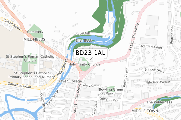
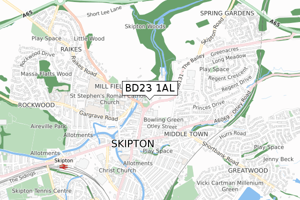
BD23 1AL is located in the Skipton North & Embsay-with-Eastby electoral ward, within the unitary authority of North Yorkshire and the English Parliamentary constituency of Skipton and Ripon. The Sub Integrated Care Board (ICB) Location is NHS West Yorkshire ICB - 36J and the police force is North Yorkshire. This postcode has been in use since June 2018.


GetTheData
Source: OS Open Zoomstack (Ordnance Survey)
Licence: Open Government Licence (requires attribution)
Attribution: Contains OS data © Crown copyright and database right 2025
Source: Open Postcode Geo
Licence: Open Government Licence (requires attribution)
Attribution: Contains OS data © Crown copyright and database right 2025; Contains Royal Mail data © Royal Mail copyright and database right 2025; Source: Office for National Statistics licensed under the Open Government Licence v.3.0
| Easting | 399081 |
| Northing | 451931 |
| Latitude | 53.963474 |
| Longitude | -2.015499 |
GetTheData
Source: Open Postcode Geo
Licence: Open Government Licence
| Country | England |
| Postcode District | BD23 |
➜ See where BD23 is on a map ➜ Where is Skipton? | |
GetTheData
Source: Land Registry Price Paid Data
Licence: Open Government Licence
| Ward | Skipton North & Embsay-with-eastby |
| Constituency | Skipton And Ripon |
GetTheData
Source: ONS Postcode Database
Licence: Open Government Licence
| Market Place (High Street) | Skipton | 147m |
| Market Place (High Street) | Skipton | 187m |
| The Bailey (A6131) | Skipton | 227m |
| Castle View Terrace (B6265) | Skipton | 244m |
| The Bailey (A6131) | Skipton | 274m |
| Skipton Station | 0.9km |
GetTheData
Source: NaPTAN
Licence: Open Government Licence
GetTheData
Source: ONS Postcode Database
Licence: Open Government Licence


➜ Get more ratings from the Food Standards Agency
GetTheData
Source: Food Standards Agency
Licence: FSA terms & conditions
| Last Collection | |||
|---|---|---|---|
| Location | Mon-Fri | Sat | Distance |
| Mill Bridge | 17:30 | 12:30 | 192m |
| 58 High Street | 17:30 | 12:15 | 222m |
| Overdale Court | 17:30 | 12:30 | 258m |
GetTheData
Source: Dracos
Licence: Creative Commons Attribution-ShareAlike
The below table lists the International Territorial Level (ITL) codes (formerly Nomenclature of Territorial Units for Statistics (NUTS) codes) and Local Administrative Units (LAU) codes for BD23 1AL:
| ITL 1 Code | Name |
|---|---|
| TLE | Yorkshire and The Humber |
| ITL 2 Code | Name |
| TLE2 | North Yorkshire |
| ITL 3 Code | Name |
| TLE22 | North Yorkshire CC |
| LAU 1 Code | Name |
| E07000163 | Craven |
GetTheData
Source: ONS Postcode Directory
Licence: Open Government Licence
The below table lists the Census Output Area (OA), Lower Layer Super Output Area (LSOA), and Middle Layer Super Output Area (MSOA) for BD23 1AL:
| Code | Name | |
|---|---|---|
| OA | E00140380 | |
| LSOA | E01027577 | Craven 005C |
| MSOA | E02005746 | Craven 005 |
GetTheData
Source: ONS Postcode Directory
Licence: Open Government Licence
| BD23 1AJ | High Street | 80m |
| BD23 1NJ | Mill Bridge | 89m |
| BD23 1JZ | High Street | 132m |
| BD23 1NL | Chapel Hill | 152m |
| BD23 1EE | Thanets Yard | 155m |
| BD23 1AP | The Bailey | 172m |
| BD23 1UJ | Wood Grove | 179m |
| BD23 1ED | Albion Yard | 187m |
| BD23 1JS | Bay Horse Court | 207m |
| BD23 1UH | Chapel Hill | 207m |
GetTheData
Source: Open Postcode Geo; Land Registry Price Paid Data
Licence: Open Government Licence