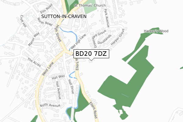
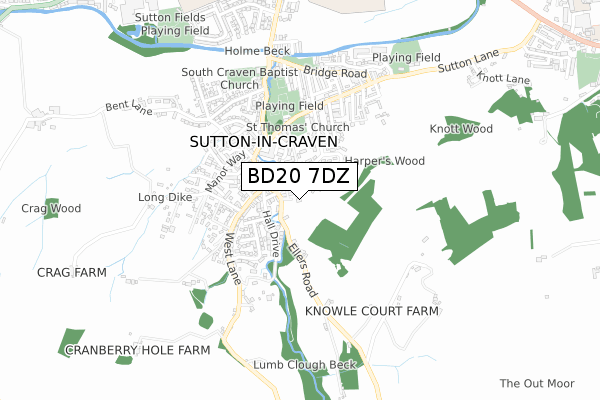
BD20 7DZ is located in the Glusburn, Cross Hills & Sutton-in-Craven electoral ward, within the unitary authority of North Yorkshire and the English Parliamentary constituency of Skipton and Ripon. The Sub Integrated Care Board (ICB) Location is NHS West Yorkshire ICB - 36J and the police force is North Yorkshire. This postcode has been in use since April 2019.


GetTheData
Source: OS Open Zoomstack (Ordnance Survey)
Licence: Open Government Licence (requires attribution)
Attribution: Contains OS data © Crown copyright and database right 2025
Source: Open Postcode Geo
Licence: Open Government Licence (requires attribution)
Attribution: Contains OS data © Crown copyright and database right 2025; Contains Royal Mail data © Royal Mail copyright and database right 2025; Source: Office for National Statistics licensed under the Open Government Licence v.3.0
| Easting | 400738 |
| Northing | 443839 |
| Latitude | 53.890745 |
| Longitude | -1.990259 |
GetTheData
Source: Open Postcode Geo
Licence: Open Government Licence
| Country | England |
| Postcode District | BD20 |
➜ See where BD20 is on a map ➜ Where is Sutton-in-Craven? | |
GetTheData
Source: Land Registry Price Paid Data
Licence: Open Government Licence
| Ward | Glusburn, Cross Hills & Sutton-in-craven |
| Constituency | Skipton And Ripon |
GetTheData
Source: ONS Postcode Database
Licence: Open Government Licence
| Harper Grove (Greenroyd Grove) | Sutton In Craven | 188m |
| Harper Grove | Sutton In Craven | 257m |
| Black Bull (Main Street) | Sutton In Craven | 274m |
| Primary Sch (Main Street) | Sutton In Craven | 305m |
| Crag Close (Croft Hill) | Sutton In Craven | 383m |
| Steeton & Silsden Station | 3.2km |
| Cononley Station | 3.3km |
GetTheData
Source: NaPTAN
Licence: Open Government Licence
| Percentage of properties with Next Generation Access | 100.0% |
| Percentage of properties with Superfast Broadband | 100.0% |
| Percentage of properties with Ultrafast Broadband | 0.0% |
| Percentage of properties with Full Fibre Broadband | 0.0% |
Superfast Broadband is between 30Mbps and 300Mbps
Ultrafast Broadband is > 300Mbps
| Percentage of properties unable to receive 2Mbps | 0.0% |
| Percentage of properties unable to receive 5Mbps | 0.0% |
| Percentage of properties unable to receive 10Mbps | 0.0% |
| Percentage of properties unable to receive 30Mbps | 0.0% |
GetTheData
Source: Ofcom
Licence: Ofcom Terms of Use (requires attribution)
GetTheData
Source: ONS Postcode Database
Licence: Open Government Licence


➜ Get more ratings from the Food Standards Agency
GetTheData
Source: Food Standards Agency
Licence: FSA terms & conditions
| Last Collection | |||
|---|---|---|---|
| Location | Mon-Fri | Sat | Distance |
| Eastburn P.o. Box | 17:15 | 11:45 | 1,475m |
| Priestbank Road | 17:00 | 10:30 | 2,059m |
| 2 Gamel View Steeton | 17:45 | 12:15 | 2,242m |
GetTheData
Source: Dracos
Licence: Creative Commons Attribution-ShareAlike
The below table lists the International Territorial Level (ITL) codes (formerly Nomenclature of Territorial Units for Statistics (NUTS) codes) and Local Administrative Units (LAU) codes for BD20 7DZ:
| ITL 1 Code | Name |
|---|---|
| TLE | Yorkshire and The Humber |
| ITL 2 Code | Name |
| TLE2 | North Yorkshire |
| ITL 3 Code | Name |
| TLE22 | North Yorkshire CC |
| LAU 1 Code | Name |
| E07000163 | Craven |
GetTheData
Source: ONS Postcode Directory
Licence: Open Government Licence
The below table lists the Census Output Area (OA), Lower Layer Super Output Area (LSOA), and Middle Layer Super Output Area (MSOA) for BD20 7DZ:
| Code | Name | |
|---|---|---|
| OA | E00140422 | |
| LSOA | E01027584 | Craven 008F |
| MSOA | E02005749 | Craven 008 |
GetTheData
Source: ONS Postcode Directory
Licence: Open Government Licence
| BD20 7LY | Ravens View | 43m |
| BD20 7QA | Overburn | 86m |
| BD20 7NB | Woodville | 96m |
| BD20 7JP | Dovelands | 116m |
| BD20 7JL | Greenroyd Drive | 125m |
| BD20 7NA | Overburn Road | 129m |
| BD20 7NE | Harper Square | 137m |
| BD20 7NQ | High Street | 142m |
| BD20 7JR | Wet Ings Lane | 149m |
| BD20 7LX | Daisy Place | 161m |
GetTheData
Source: Open Postcode Geo; Land Registry Price Paid Data
Licence: Open Government Licence