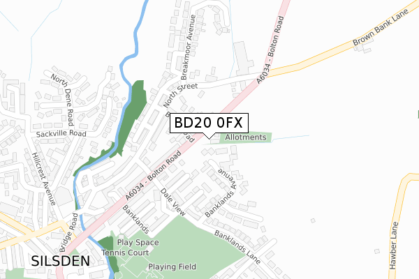
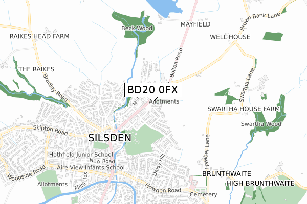
BD20 0FX is located in the Craven electoral ward, within the metropolitan district of Bradford and the English Parliamentary constituency of Keighley. The Sub Integrated Care Board (ICB) Location is NHS West Yorkshire ICB - 36J and the police force is West Yorkshire. This postcode has been in use since February 2020.


GetTheData
Source: OS Open Zoomstack (Ordnance Survey)
Licence: Open Government Licence (requires attribution)
Attribution: Contains OS data © Crown copyright and database right 2024
Source: Open Postcode Geo
Licence: Open Government Licence (requires attribution)
Attribution: Contains OS data © Crown copyright and database right 2024; Contains Royal Mail data © Royal Mail copyright and database right 2024; Source: Office for National Statistics licensed under the Open Government Licence v.3.0
| Easting | 404529 |
| Northing | 446792 |
| Latitude | 53.917268 |
| Longitude | -1.932535 |
GetTheData
Source: Open Postcode Geo
Licence: Open Government Licence
| Country | England |
| Postcode District | BD20 |
➜ See where BD20 is on a map ➜ Where is Silsden? | |
GetTheData
Source: Land Registry Price Paid Data
Licence: Open Government Licence
| Ward | Craven |
| Constituency | Keighley |
GetTheData
Source: ONS Postcode Database
Licence: Open Government Licence
2022 11 NOV £465,000 |
2, YEW TREE GARDENS, SILSDEN, KEIGHLEY, BD20 0FX 2022 17 JAN £458,000 |
3, YEW TREE GARDENS, SILSDEN, KEIGHLEY, BD20 0FX 2000 22 SEP £173,000 |
GetTheData
Source: HM Land Registry Price Paid Data
Licence: Contains HM Land Registry data © Crown copyright and database right 2024. This data is licensed under the Open Government Licence v3.0.
| Bolton Road North St (Bolton Road) | Silsden | 82m |
| Bolton Road North St (Bolton Road) | Silsden | 86m |
| Bolton Road Pickard Ln (Bolton Road) | Silsden | 123m |
| Bolton Road Pickard Ln (Bolton Road) | Silsden | 169m |
| North St Pickard Lane (North Street) | Silsden | 196m |
| Steeton & Silsden Station | 2.1km |
GetTheData
Source: NaPTAN
Licence: Open Government Licence
GetTheData
Source: ONS Postcode Database
Licence: Open Government Licence


➜ Get more ratings from the Food Standards Agency
GetTheData
Source: Food Standards Agency
Licence: FSA terms & conditions
| Last Collection | |||
|---|---|---|---|
| Location | Mon-Fri | Sat | Distance |
| 36 Howden Road Silsden | 17:30 | 11:45 | 621m |
| Station Road/Summer Hill | 17:30 | 12:15 | 2,313m |
| Post Office | 17:15 | 12:15 | 2,638m |
GetTheData
Source: Dracos
Licence: Creative Commons Attribution-ShareAlike
The below table lists the International Territorial Level (ITL) codes (formerly Nomenclature of Territorial Units for Statistics (NUTS) codes) and Local Administrative Units (LAU) codes for BD20 0FX:
| ITL 1 Code | Name |
|---|---|
| TLE | Yorkshire and The Humber |
| ITL 2 Code | Name |
| TLE4 | West Yorkshire |
| ITL 3 Code | Name |
| TLE41 | Bradford |
| LAU 1 Code | Name |
| E08000032 | Bradford |
GetTheData
Source: ONS Postcode Directory
Licence: Open Government Licence
The below table lists the Census Output Area (OA), Lower Layer Super Output Area (LSOA), and Middle Layer Super Output Area (MSOA) for BD20 0FX:
| Code | Name | |
|---|---|---|
| OA | E00053713 | |
| LSOA | E01010639 | Bradford 004B |
| MSOA | E02002186 | Bradford 004 |
GetTheData
Source: ONS Postcode Directory
Licence: Open Government Licence
| BD20 0JT | Bolton Road | 79m |
| BD20 9PS | Town Head | 93m |
| BD20 0JL | Banklands Avenue | 104m |
| BD20 9PR | North Street | 115m |
| BD20 0JS | Bolton Terrace | 119m |
| BD20 9PT | Browfield Terrace | 120m |
| BD20 0LH | Bolton Road | 123m |
| BD20 9PX | The Maltings | 135m |
| BD20 9PP | North Street | 143m |
| BD20 9PJ | Browfield Terrace | 144m |
GetTheData
Source: Open Postcode Geo; Land Registry Price Paid Data
Licence: Open Government Licence