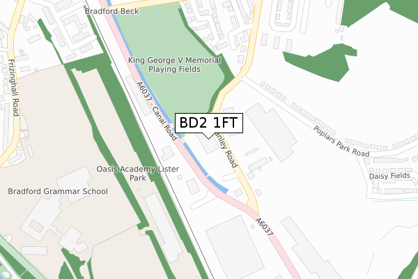
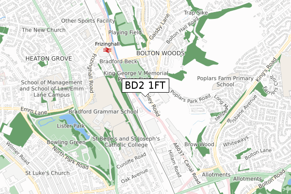
BD2 1FT is located in the Bolton and Undercliffe electoral ward, within the metropolitan district of Bradford and the English Parliamentary constituency of Bradford East. The Sub Integrated Care Board (ICB) Location is NHS West Yorkshire ICB - 36J and the police force is West Yorkshire. This postcode has been in use since April 2020.


GetTheData
Source: OS Open Zoomstack (Ordnance Survey)
Licence: Open Government Licence (requires attribution)
Attribution: Contains OS data © Crown copyright and database right 2025
Source: Open Postcode Geo
Licence: Open Government Licence (requires attribution)
Attribution: Contains OS data © Crown copyright and database right 2025; Contains Royal Mail data © Royal Mail copyright and database right 2025; Source: Office for National Statistics licensed under the Open Government Licence v.3.0
| Easting | 415657 |
| Northing | 435580 |
| Latitude | 53.816283 |
| Longitude | -1.763681 |
GetTheData
Source: Open Postcode Geo
Licence: Open Government Licence
| Country | England |
| Postcode District | BD2 |
➜ See where BD2 is on a map ➜ Where is Bradford? | |
GetTheData
Source: Land Registry Price Paid Data
Licence: Open Government Licence
| Ward | Bolton And Undercliffe |
| Constituency | Bradford East |
GetTheData
Source: ONS Postcode Database
Licence: Open Government Licence
| Canal Rd Sidings Close (Canal Road) | Bolton Woods | 102m |
| Stanley Rd Canal Road (Stanley Road) | Bolton Woods | 123m |
| Stanley Rd Canal Road (Stanley Road) | Bolton Woods | 125m |
| Canal Road Gaisby Ln (Canal Road) | Bolton Woods | 157m |
| Canal Road Gaisby Ln (Canal Road) | Bolton Woods | 178m |
| Frizinghall Station | 0.6km |
| Shipley Station | 2km |
| Bradford Forster Square Station | 2.3km |
GetTheData
Source: NaPTAN
Licence: Open Government Licence
GetTheData
Source: ONS Postcode Database
Licence: Open Government Licence


➜ Get more ratings from the Food Standards Agency
GetTheData
Source: Food Standards Agency
Licence: FSA terms & conditions
| Last Collection | |||
|---|---|---|---|
| Location | Mon-Fri | Sat | Distance |
| 3 Broome Avenue | 17:45 | 10:00 | 802m |
| Poplars Park Road | 17:45 | 10:00 | 899m |
| 2 Springwood Terrace | 17:45 | 10:00 | 984m |
GetTheData
Source: Dracos
Licence: Creative Commons Attribution-ShareAlike
The below table lists the International Territorial Level (ITL) codes (formerly Nomenclature of Territorial Units for Statistics (NUTS) codes) and Local Administrative Units (LAU) codes for BD2 1FT:
| ITL 1 Code | Name |
|---|---|
| TLE | Yorkshire and The Humber |
| ITL 2 Code | Name |
| TLE4 | West Yorkshire |
| ITL 3 Code | Name |
| TLE41 | Bradford |
| LAU 1 Code | Name |
| E08000032 | Bradford |
GetTheData
Source: ONS Postcode Directory
Licence: Open Government Licence
The below table lists the Census Output Area (OA), Lower Layer Super Output Area (LSOA), and Middle Layer Super Output Area (MSOA) for BD2 1FT:
| Code | Name | |
|---|---|---|
| OA | E00054601 | |
| LSOA | E01010824 | Bradford 034C |
| MSOA | E02002216 | Bradford 034 |
GetTheData
Source: ONS Postcode Directory
Licence: Open Government Licence
| BD2 1AS | Stanley Road | 83m |
| BD2 1DL | Montrose Street | 239m |
| BD2 1DN | Oswin Gardens | 273m |
| BD2 1DJ | Shann Street | 327m |
| BD2 1DH | Bute Street | 347m |
| BD2 1BB | Livingstone Road | 354m |
| BD2 1DW | Meadow Walk | 415m |
| BD9 4LZ | Frizley Gardens | 426m |
| BD2 1DU | Poplars Park Road | 435m |
| BD9 4LD | Frizinghall Road | 443m |
GetTheData
Source: Open Postcode Geo; Land Registry Price Paid Data
Licence: Open Government Licence