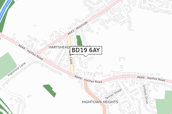
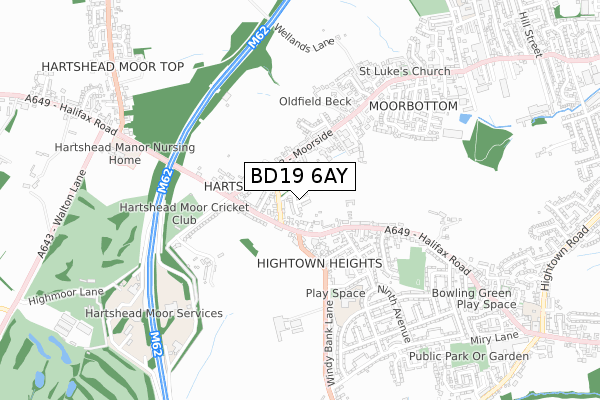
BD19 6AY is located in the Cleckheaton electoral ward, within the metropolitan district of Kirklees and the English Parliamentary constituency of Batley and Spen. The Sub Integrated Care Board (ICB) Location is NHS West Yorkshire ICB - X2C4Y and the police force is West Yorkshire. This postcode has been in use since January 2019.


GetTheData
Source: OS Open Zoomstack (Ordnance Survey)
Licence: Open Government Licence (requires attribution)
Attribution: Contains OS data © Crown copyright and database right 2024
Source: Open Postcode Geo
Licence: Open Government Licence (requires attribution)
Attribution: Contains OS data © Crown copyright and database right 2024; Contains Royal Mail data © Royal Mail copyright and database right 2024; Source: Office for National Statistics licensed under the Open Government Licence v.3.0
| Easting | 417514 |
| Northing | 424599 |
| Latitude | 53.717529 |
| Longitude | -1.736094 |
GetTheData
Source: Open Postcode Geo
Licence: Open Government Licence
| Country | England |
| Postcode District | BD19 |
➜ See where BD19 is on a map | |
GetTheData
Source: Land Registry Price Paid Data
Licence: Open Government Licence
| Ward | Cleckheaton |
| Constituency | Batley And Spen |
GetTheData
Source: ONS Postcode Database
Licence: Open Government Licence
| Halifax Rd New Lane (Halifax Road) | Hartshead Moor | 122m |
| Halifax Rd New Lane (Halifax Road) | Hartshead Moor | 135m |
| Moorside New Lane (Moorside) | Cleckheaton | 169m |
| Moorside New Lane (Moorside) | Cleckheaton | 177m |
| Halifax Rd Buttershaw Lane (Halifax Road) | Hightown | 187m |
| Brighouse Station | 3.6km |
| Low Moor Station | 3.8km |
GetTheData
Source: NaPTAN
Licence: Open Government Licence
| Percentage of properties with Next Generation Access | 100.0% |
| Percentage of properties with Superfast Broadband | 100.0% |
| Percentage of properties with Ultrafast Broadband | 100.0% |
| Percentage of properties with Full Fibre Broadband | 100.0% |
Superfast Broadband is between 30Mbps and 300Mbps
Ultrafast Broadband is > 300Mbps
| Percentage of properties unable to receive 2Mbps | 0.0% |
| Percentage of properties unable to receive 5Mbps | 0.0% |
| Percentage of properties unable to receive 10Mbps | 0.0% |
| Percentage of properties unable to receive 30Mbps | 0.0% |
GetTheData
Source: Ofcom
Licence: Ofcom Terms of Use (requires attribution)
GetTheData
Source: ONS Postcode Database
Licence: Open Government Licence


➜ Get more ratings from the Food Standards Agency
GetTheData
Source: Food Standards Agency
Licence: FSA terms & conditions
| Last Collection | |||
|---|---|---|---|
| Location | Mon-Fri | Sat | Distance |
| Moor Top | 17:30 | 12:30 | 260m |
| Buttershaw Lane/Twelth Ave | 16:45 | 11:15 | 339m |
| 56 Moorside | 17:30 | 12:30 | 382m |
GetTheData
Source: Dracos
Licence: Creative Commons Attribution-ShareAlike
The below table lists the International Territorial Level (ITL) codes (formerly Nomenclature of Territorial Units for Statistics (NUTS) codes) and Local Administrative Units (LAU) codes for BD19 6AY:
| ITL 1 Code | Name |
|---|---|
| TLE | Yorkshire and The Humber |
| ITL 2 Code | Name |
| TLE4 | West Yorkshire |
| ITL 3 Code | Name |
| TLE44 | Calderdale and Kirklees |
| LAU 1 Code | Name |
| E08000034 | Kirklees |
GetTheData
Source: ONS Postcode Directory
Licence: Open Government Licence
The below table lists the Census Output Area (OA), Lower Layer Super Output Area (LSOA), and Middle Layer Super Output Area (MSOA) for BD19 6AY:
| Code | Name | |
|---|---|---|
| OA | E00055776 | |
| LSOA | E01011067 | Kirklees 008A |
| MSOA | E02002278 | Kirklees 008 |
GetTheData
Source: ONS Postcode Directory
Licence: Open Government Licence
| BD19 6LG | New Lane | 99m |
| BD19 6LA | Pearson Street | 106m |
| BD19 6LH | Halifax Road | 113m |
| BD19 6JU | Rustless Close | 117m |
| BD19 6LB | Thornton Street | 149m |
| BD19 6LF | Stonefield Street | 159m |
| BD19 6JZ | Moorside | 170m |
| BD19 6JY | Moorland Mount | 173m |
| WF15 8HG | Halifax Road | 181m |
| BD19 6LJ | Halifax Road | 195m |
GetTheData
Source: Open Postcode Geo; Land Registry Price Paid Data
Licence: Open Government Licence