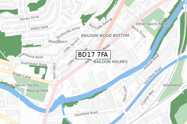
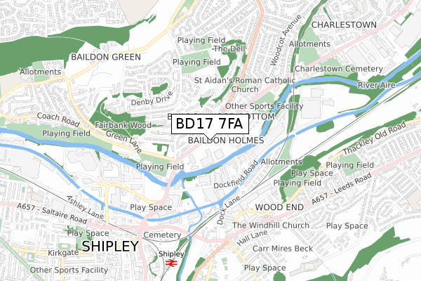
BD17 7FA is located in the Baildon electoral ward, within the metropolitan district of Bradford and the English Parliamentary constituency of Shipley. The Sub Integrated Care Board (ICB) Location is NHS West Yorkshire ICB - 36J and the police force is West Yorkshire. This postcode has been in use since April 2019.


GetTheData
Source: OS Open Zoomstack (Ordnance Survey)
Licence: Open Government Licence (requires attribution)
Attribution: Contains OS data © Crown copyright and database right 2024
Source: Open Postcode Geo
Licence: Open Government Licence (requires attribution)
Attribution: Contains OS data © Crown copyright and database right 2024; Contains Royal Mail data © Royal Mail copyright and database right 2024; Source: Office for National Statistics licensed under the Open Government Licence v.3.0
| Easting | 415263 |
| Northing | 438164 |
| Latitude | 53.839519 |
| Longitude | -1.769537 |
GetTheData
Source: Open Postcode Geo
Licence: Open Government Licence
| Country | England |
| Postcode District | BD17 |
➜ See where BD17 is on a map ➜ Where is Baildon? | |
GetTheData
Source: Land Registry Price Paid Data
Licence: Open Government Licence
| Ward | Baildon |
| Constituency | Shipley |
GetTheData
Source: ONS Postcode Database
Licence: Open Government Licence
| Otley Rd Baildon Road (Otley Road) | Shipley | 52m |
| Otley Rd Baildon Road (Otley Road) | Shipley | 96m |
| Otley Rd Wood Street (Otley Road) | Baildon | 178m |
| Baildon Road Rockcliffe Ave (Baildon Road) | Baildon | 184m |
| Baildon Road Rockcliffe Ave (Baildon Road) | Baildon | 240m |
| Shipley Station | 0.8km |
| Saltaire Station | 1.4km |
| Baildon Station | 1.6km |
GetTheData
Source: NaPTAN
Licence: Open Government Licence
GetTheData
Source: ONS Postcode Database
Licence: Open Government Licence

➜ Get more ratings from the Food Standards Agency
GetTheData
Source: Food Standards Agency
Licence: FSA terms & conditions
| Last Collection | |||
|---|---|---|---|
| Location | Mon-Fri | Sat | Distance |
| New Close | 17:30 | 12:30 | 644m |
| Victoria Street Business Box | 18:30 | 12:15 | 739m |
| 1 Green Lane Baildon | 17:45 | 12:15 | 779m |
GetTheData
Source: Dracos
Licence: Creative Commons Attribution-ShareAlike
| Risk of BD17 7FA flooding from rivers and sea | Medium |
| ➜ BD17 7FA flood map | |
GetTheData
Source: Open Flood Risk by Postcode
Licence: Open Government Licence
The below table lists the International Territorial Level (ITL) codes (formerly Nomenclature of Territorial Units for Statistics (NUTS) codes) and Local Administrative Units (LAU) codes for BD17 7FA:
| ITL 1 Code | Name |
|---|---|
| TLE | Yorkshire and The Humber |
| ITL 2 Code | Name |
| TLE4 | West Yorkshire |
| ITL 3 Code | Name |
| TLE41 | Bradford |
| LAU 1 Code | Name |
| E08000032 | Bradford |
GetTheData
Source: ONS Postcode Directory
Licence: Open Government Licence
The below table lists the Census Output Area (OA), Lower Layer Super Output Area (LSOA), and Middle Layer Super Output Area (MSOA) for BD17 7FA:
| Code | Name | |
|---|---|---|
| OA | E00053382 | |
| LSOA | E01010571 | Bradford 016C |
| MSOA | E02002198 | Bradford 016 |
GetTheData
Source: ONS Postcode Directory
Licence: Open Government Licence
| BD17 7EY | Lower Holme | 73m |
| BD17 5LB | Cliffe Lane South | 76m |
| BD17 5LA | Cliffe Terrace | 131m |
| BD17 7HB | Otley Road | 160m |
| BD17 7AJ | Dockfield Terrace | 163m |
| BD17 6AA | Queen Street | 164m |
| BD17 6AE | Baildon Road | 172m |
| BD17 7AN | Dockfield Place | 182m |
| BD17 7AQ | Dock Lane | 183m |
| BD17 6AY | Albert Street | 189m |
GetTheData
Source: Open Postcode Geo; Land Registry Price Paid Data
Licence: Open Government Licence