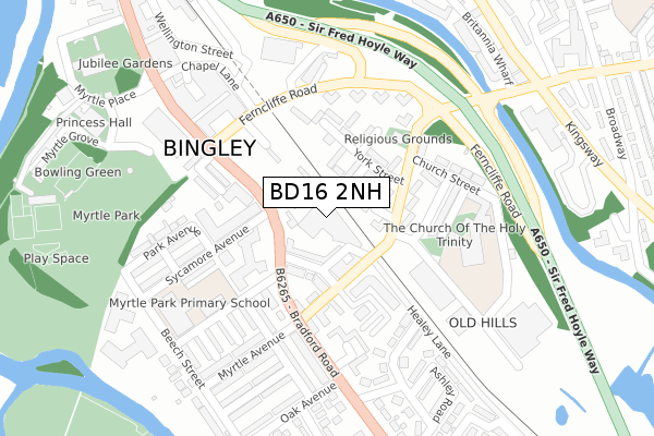
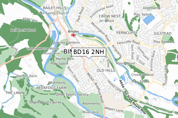
BD16 2NH is located in the Bingley electoral ward, within the metropolitan district of Bradford and the English Parliamentary constituency of Shipley. The Sub Integrated Care Board (ICB) Location is NHS West Yorkshire ICB - 36J and the police force is West Yorkshire. This postcode has been in use since May 2018.


GetTheData
Source: OS Open Zoomstack (Ordnance Survey)
Licence: Open Government Licence (requires attribution)
Attribution: Contains OS data © Crown copyright and database right 2025
Source: Open Postcode Geo
Licence: Open Government Licence (requires attribution)
Attribution: Contains OS data © Crown copyright and database right 2025; Contains Royal Mail data © Royal Mail copyright and database right 2025; Source: Office for National Statistics licensed under the Open Government Licence v.3.0
| Easting | 411033 |
| Northing | 438831 |
| Latitude | 53.845620 |
| Longitude | -1.833795 |
GetTheData
Source: Open Postcode Geo
Licence: Open Government Licence
| Country | England |
| Postcode District | BD16 |
➜ See where BD16 is on a map ➜ Where is Bingley? | |
GetTheData
Source: Land Registry Price Paid Data
Licence: Open Government Licence
| Ward | Bingley |
| Constituency | Shipley |
GetTheData
Source: ONS Postcode Database
Licence: Open Government Licence
| Bradford Road Ashfield Court (Bradford Road) | Bingley | 202m |
| Ferncliffe Road | Bingley | 204m |
| Bradford Road Ashfield Court (Bradford Road) | Bingley | 231m |
| Myrtle Park Primary School (Beech Street) | Bingley | 244m |
| Trinity Primary On Ferncliffe Road (Ferncliffe Road) | Bingley | 256m |
| Bingley Station | 0.4km |
| Crossflatts Station | 1.6km |
| Saltaire Station | 3km |
GetTheData
Source: NaPTAN
Licence: Open Government Licence
GetTheData
Source: ONS Postcode Database
Licence: Open Government Licence


➜ Get more ratings from the Food Standards Agency
GetTheData
Source: Food Standards Agency
Licence: FSA terms & conditions
| Last Collection | |||
|---|---|---|---|
| Location | Mon-Fri | Sat | Distance |
| 1 York Street | 17:45 | 13:15 | 80m |
| Bingley P.o. | 17:30 | 12:30 | 341m |
| Ebridge Court | 17:30 | 13:00 | 437m |
GetTheData
Source: Dracos
Licence: Creative Commons Attribution-ShareAlike
The below table lists the International Territorial Level (ITL) codes (formerly Nomenclature of Territorial Units for Statistics (NUTS) codes) and Local Administrative Units (LAU) codes for BD16 2NH:
| ITL 1 Code | Name |
|---|---|
| TLE | Yorkshire and The Humber |
| ITL 2 Code | Name |
| TLE4 | West Yorkshire |
| ITL 3 Code | Name |
| TLE41 | Bradford |
| LAU 1 Code | Name |
| E08000032 | Bradford |
GetTheData
Source: ONS Postcode Directory
Licence: Open Government Licence
The below table lists the Census Output Area (OA), Lower Layer Super Output Area (LSOA), and Middle Layer Super Output Area (MSOA) for BD16 2NH:
| Code | Name | |
|---|---|---|
| OA | E00053424 | |
| LSOA | E01010584 | Bradford 015D |
| MSOA | E02002197 | Bradford 015 |
GetTheData
Source: ONS Postcode Directory
Licence: Open Government Licence
| BD16 1AH | Bradford Road | 51m |
| BD16 1AE | Harris Street | 53m |
| BD16 1AD | Leonards Place | 63m |
| BD16 2QN | Cannon Street | 68m |
| BD16 2QP | York Crescent | 73m |
| BD16 2QT | Leonard Street | 77m |
| BD16 2QS | Leonard Street | 87m |
| BD16 1AB | Beech Grove | 95m |
| BD16 1DP | Leonard Street | 117m |
| BD16 2NL | York Street | 127m |
GetTheData
Source: Open Postcode Geo; Land Registry Price Paid Data
Licence: Open Government Licence