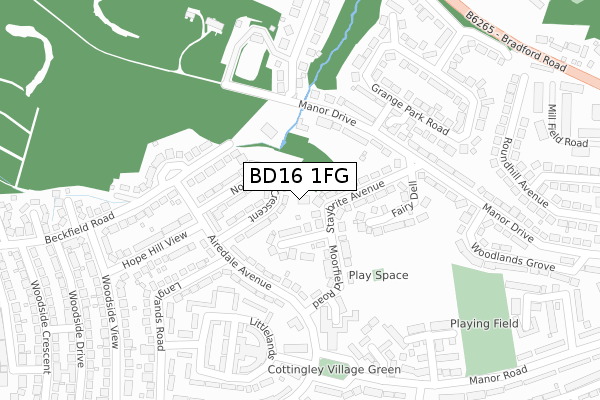
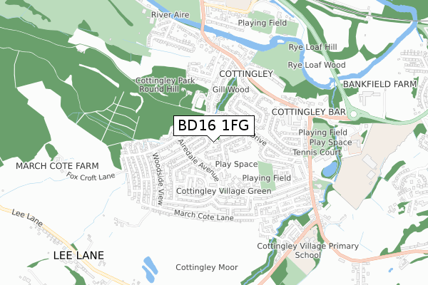
BD16 1FG is located in the Bingley Rural electoral ward, within the metropolitan district of Bradford and the English Parliamentary constituency of Shipley. The Sub Integrated Care Board (ICB) Location is NHS West Yorkshire ICB - 36J and the police force is West Yorkshire. This postcode has been in use since September 2018.


GetTheData
Source: OS Open Zoomstack (Ordnance Survey)
Licence: Open Government Licence (requires attribution)
Attribution: Contains OS data © Crown copyright and database right 2024
Source: Open Postcode Geo
Licence: Open Government Licence (requires attribution)
Attribution: Contains OS data © Crown copyright and database right 2024; Contains Royal Mail data © Royal Mail copyright and database right 2024; Source: Office for National Statistics licensed under the Open Government Licence v.3.0
| Easting | 411320 |
| Northing | 437332 |
| Latitude | 53.832141 |
| Longitude | -1.829487 |
GetTheData
Source: Open Postcode Geo
Licence: Open Government Licence
| Country | England |
| Postcode District | BD16 |
➜ See where BD16 is on a map ➜ Where is Bingley? | |
GetTheData
Source: Land Registry Price Paid Data
Licence: Open Government Licence
| Ward | Bingley Rural |
| Constituency | Shipley |
GetTheData
Source: ONS Postcode Database
Licence: Open Government Licence
| Hope Hill View Airedale Avenue (Hope Hill View) | Cottingley | 199m |
| Hope Hill View Airedale Avenue (Hope Hill View) | Cottingley | 220m |
| Manor Rd Airedale Avenue (Manor Road) | Cottingley | 271m |
| Manor Rd Airedale Avenue (Manor Road) | Cottingley | 307m |
| Manor Rd Rycroft Avenue (Manor Road) | Cottingley | 362m |
| Bingley Station | 1.9km |
| Saltaire Station | 2.7km |
| Crossflatts Station | 3.1km |
GetTheData
Source: NaPTAN
Licence: Open Government Licence
GetTheData
Source: ONS Postcode Database
Licence: Open Government Licence


➜ Get more ratings from the Food Standards Agency
GetTheData
Source: Food Standards Agency
Licence: FSA terms & conditions
| Last Collection | |||
|---|---|---|---|
| Location | Mon-Fri | Sat | Distance |
| 2 Branksome Drive | 18:00 | 12:30 | 1,229m |
| Brunswick House Crosley Wood Road | 17:45 | 13:00 | 1,327m |
| Primrose Bank | 17:45 | 13:00 | 1,340m |
GetTheData
Source: Dracos
Licence: Creative Commons Attribution-ShareAlike
The below table lists the International Territorial Level (ITL) codes (formerly Nomenclature of Territorial Units for Statistics (NUTS) codes) and Local Administrative Units (LAU) codes for BD16 1FG:
| ITL 1 Code | Name |
|---|---|
| TLE | Yorkshire and The Humber |
| ITL 2 Code | Name |
| TLE4 | West Yorkshire |
| ITL 3 Code | Name |
| TLE41 | Bradford |
| LAU 1 Code | Name |
| E08000032 | Bradford |
GetTheData
Source: ONS Postcode Directory
Licence: Open Government Licence
The below table lists the Census Output Area (OA), Lower Layer Super Output Area (LSOA), and Middle Layer Super Output Area (MSOA) for BD16 1FG:
| Code | Name | |
|---|---|---|
| OA | E00053468 | |
| LSOA | E01010588 | Bradford 022C |
| MSOA | E02002204 | Bradford 022 |
GetTheData
Source: ONS Postcode Directory
Licence: Open Government Licence
| BD16 1PR | Staybrite Avenue | 66m |
| BD16 1QP | Northfield Crescent | 89m |
| BD16 1PS | Moorfield Road | 118m |
| BD16 1QH | Airedale Avenue | 131m |
| BD16 1PP | Fairy Dell | 162m |
| BD16 1PN | Manor Drive | 167m |
| BD16 1QG | Grange Court | 185m |
| BD16 1RW | Littlelands | 215m |
| BD16 1QD | Manor Court | 215m |
| BD16 1QR | Beckfield Road | 224m |
GetTheData
Source: Open Postcode Geo; Land Registry Price Paid Data
Licence: Open Government Licence