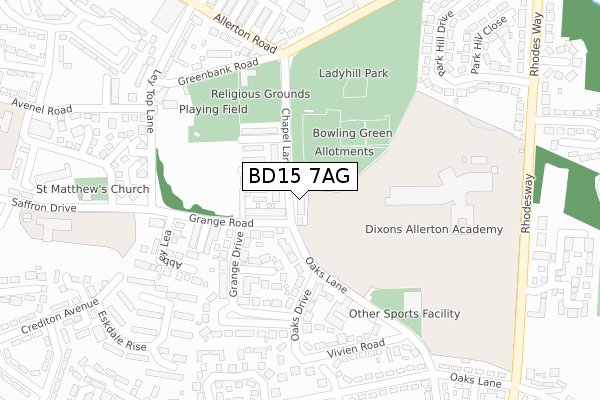
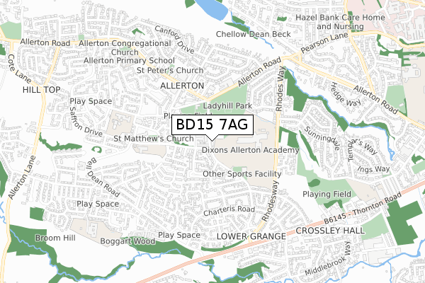
BD15 7AG is located in the Clayton and Fairweather Green electoral ward, within the metropolitan district of Bradford and the English Parliamentary constituency of Bradford West. The Sub Integrated Care Board (ICB) Location is NHS West Yorkshire ICB - 36J and the police force is West Yorkshire. This postcode has been in use since May 2018.


GetTheData
Source: OS Open Zoomstack (Ordnance Survey)
Licence: Open Government Licence (requires attribution)
Attribution: Contains OS data © Crown copyright and database right 2025
Source: Open Postcode Geo
Licence: Open Government Licence (requires attribution)
Attribution: Contains OS data © Crown copyright and database right 2025; Contains Royal Mail data © Royal Mail copyright and database right 2025; Source: Office for National Statistics licensed under the Open Government Licence v.3.0
| Easting | 412299 |
| Northing | 433777 |
| Latitude | 53.800167 |
| Longitude | -1.814754 |
GetTheData
Source: Open Postcode Geo
Licence: Open Government Licence
| Country | England |
| Postcode District | BD15 |
➜ See where BD15 is on a map ➜ Where is Bradford? | |
GetTheData
Source: Land Registry Price Paid Data
Licence: Open Government Licence
| Ward | Clayton And Fairweather Green |
| Constituency | Bradford West |
GetTheData
Source: ONS Postcode Database
Licence: Open Government Licence
37, CHAPEL LANE, ALLERTON, BRADFORD, BD15 7AG 2021 8 JAN £200,000 |
39, CHAPEL LANE, ALLERTON, BRADFORD, BD15 7AG 2020 24 AUG £220,000 |
GetTheData
Source: HM Land Registry Price Paid Data
Licence: Contains HM Land Registry data © Crown copyright and database right 2025. This data is licensed under the Open Government Licence v3.0.
| Oaks Lane | Allerton | 180m |
| Oaks Lane | Allerton | 225m |
| Allerton Rd Prospect Terrace (Allerton Road) | Allerton | 271m |
| Allerton Rd Prospect Terrace (Allerton Road) | Allerton | 290m |
| Prospect Works Allerton Rd (Allerton Road) | Allerton | 316m |
| Frizinghall Station | 3.8km |
| Bradford Forster Square Station | 4.1km |
| Bradford Interchange Station | 4.4km |
GetTheData
Source: NaPTAN
Licence: Open Government Licence
GetTheData
Source: ONS Postcode Database
Licence: Open Government Licence


➜ Get more ratings from the Food Standards Agency
GetTheData
Source: Food Standards Agency
Licence: FSA terms & conditions
| Last Collection | |||
|---|---|---|---|
| Location | Mon-Fri | Sat | Distance |
| Allerton Franchise P.o. Box | 17:15 | 12:15 | 762m |
| 90 Hunters Park Avenue Clayton | 17:30 | 12:15 | 1,663m |
| Town End Road Clayton | 17:15 | 12:00 | 1,695m |
GetTheData
Source: Dracos
Licence: Creative Commons Attribution-ShareAlike
The below table lists the International Territorial Level (ITL) codes (formerly Nomenclature of Territorial Units for Statistics (NUTS) codes) and Local Administrative Units (LAU) codes for BD15 7AG:
| ITL 1 Code | Name |
|---|---|
| TLE | Yorkshire and The Humber |
| ITL 2 Code | Name |
| TLE4 | West Yorkshire |
| ITL 3 Code | Name |
| TLE41 | Bradford |
| LAU 1 Code | Name |
| E08000032 | Bradford |
GetTheData
Source: ONS Postcode Directory
Licence: Open Government Licence
The below table lists the Census Output Area (OA), Lower Layer Super Output Area (LSOA), and Middle Layer Super Output Area (MSOA) for BD15 7AG:
| Code | Name | |
|---|---|---|
| OA | E00176098 | |
| LSOA | E01010629 | Bradford 040B |
| MSOA | E02002222 | Bradford 040 |
GetTheData
Source: ONS Postcode Directory
Licence: Open Government Licence
| BD15 7RU | Oaks Lane | 36m |
| BD15 7RS | Grange Road | 61m |
| BD15 7RW | Chapel Mews | 74m |
| BD15 7RJ | Chapel Lane | 77m |
| BD15 7RN | Grange Avenue | 81m |
| BD15 7RT | Oaks Lane | 112m |
| BD15 7RL | Rhodesia Avenue | 136m |
| BD15 7SD | View Row | 147m |
| BD15 7SB | Grangeway | 151m |
| BD15 7SE | Grange Terrace | 161m |
GetTheData
Source: Open Postcode Geo; Land Registry Price Paid Data
Licence: Open Government Licence