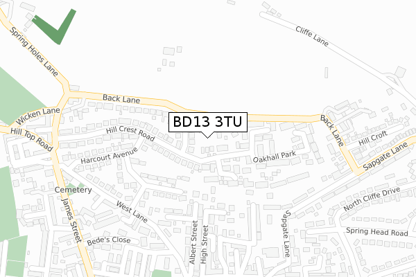
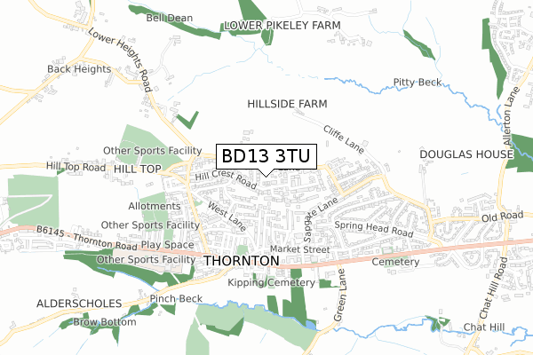
BD13 3TU is located in the Thornton and Allerton electoral ward, within the metropolitan district of Bradford and the English Parliamentary constituency of Bradford West. The Sub Integrated Care Board (ICB) Location is NHS West Yorkshire ICB - 36J and the police force is West Yorkshire. This postcode has been in use since August 2017.


GetTheData
Source: OS Open Zoomstack (Ordnance Survey)
Licence: Open Government Licence (requires attribution)
Attribution: Contains OS data © Crown copyright and database right 2025
Source: Open Postcode Geo
Licence: Open Government Licence (requires attribution)
Attribution: Contains OS data © Crown copyright and database right 2025; Contains Royal Mail data © Royal Mail copyright and database right 2025; Source: Office for National Statistics licensed under the Open Government Licence v.3.0
| Easting | 409954 |
| Northing | 433096 |
| Latitude | 53.794096 |
| Longitude | -1.850378 |
GetTheData
Source: Open Postcode Geo
Licence: Open Government Licence
| Country | England |
| Postcode District | BD13 |
➜ See where BD13 is on a map ➜ Where is Thornton? | |
GetTheData
Source: Land Registry Price Paid Data
Licence: Open Government Licence
| Ward | Thornton And Allerton |
| Constituency | Bradford West |
GetTheData
Source: ONS Postcode Database
Licence: Open Government Licence
| James St West Lane (James Street) | Thornton | 355m |
| James St Hill Top Road (James Street) | Thornton | 370m |
| James Street School (James Street) | Thornton | 386m |
| James Street School (James Street) | Thornton | 392m |
| Thornton Rd Kipping Lane (Thornton Road) | Thornton | 413m |
| Saltaire Station | 6.3km |
GetTheData
Source: NaPTAN
Licence: Open Government Licence
GetTheData
Source: ONS Postcode Database
Licence: Open Government Licence


➜ Get more ratings from the Food Standards Agency
GetTheData
Source: Food Standards Agency
Licence: FSA terms & conditions
| Last Collection | |||
|---|---|---|---|
| Location | Mon-Fri | Sat | Distance |
| 61 The Avenue Clayton | 17:45 | 12:00 | 2,103m |
| Baldwin Lane | 17:15 | 12:00 | 2,247m |
| Allerton Franchise P.o. Box | 17:15 | 12:15 | 2,272m |
GetTheData
Source: Dracos
Licence: Creative Commons Attribution-ShareAlike
The below table lists the International Territorial Level (ITL) codes (formerly Nomenclature of Territorial Units for Statistics (NUTS) codes) and Local Administrative Units (LAU) codes for BD13 3TU:
| ITL 1 Code | Name |
|---|---|
| TLE | Yorkshire and The Humber |
| ITL 2 Code | Name |
| TLE4 | West Yorkshire |
| ITL 3 Code | Name |
| TLE41 | Bradford |
| LAU 1 Code | Name |
| E08000032 | Bradford |
GetTheData
Source: ONS Postcode Directory
Licence: Open Government Licence
The below table lists the Census Output Area (OA), Lower Layer Super Output Area (LSOA), and Middle Layer Super Output Area (MSOA) for BD13 3TU:
| Code | Name | |
|---|---|---|
| OA | E00054444 | |
| LSOA | E01010797 | Bradford 043D |
| MSOA | E02002225 | Bradford 043 |
GetTheData
Source: ONS Postcode Directory
Licence: Open Government Licence
| BD13 3PG | Leaside Drive | 28m |
| BD13 3QU | Back Lane | 133m |
| BD13 3TR | Staverton Grove | 144m |
| BD13 3QW | Oakhall Park | 153m |
| BD13 3NA | Alpine Rise | 167m |
| BD13 3PQ | Hillcrest Road | 181m |
| BD13 3EH | High Cliffe Close | 181m |
| BD13 3TS | Cliveden Avenue | 181m |
| BD13 3HT | Wold Close | 203m |
| BD13 3HY | Heathcliff Mews | 242m |
GetTheData
Source: Open Postcode Geo; Land Registry Price Paid Data
Licence: Open Government Licence