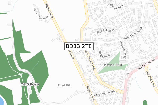
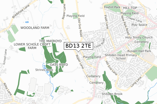
BD13 2TE is located in the Queensbury electoral ward, within the metropolitan district of Bradford and the English Parliamentary constituency of Bradford South. The Sub Integrated Care Board (ICB) Location is NHS West Yorkshire ICB - 36J and the police force is West Yorkshire. This postcode has been in use since August 2019.


GetTheData
Source: OS Open Zoomstack (Ordnance Survey)
Licence: Open Government Licence (requires attribution)
Attribution: Contains OS data © Crown copyright and database right 2025
Source: Open Postcode Geo
Licence: Open Government Licence (requires attribution)
Attribution: Contains OS data © Crown copyright and database right 2025; Contains Royal Mail data © Royal Mail copyright and database right 2025; Source: Office for National Statistics licensed under the Open Government Licence v.3.0
| Easting | 409107 |
| Northing | 429840 |
| Latitude | 53.764847 |
| Longitude | -1.863331 |
GetTheData
Source: Open Postcode Geo
Licence: Open Government Licence
| Country | England |
| Postcode District | BD13 |
➜ See where BD13 is on a map ➜ Where is Queensbury? | |
GetTheData
Source: Land Registry Price Paid Data
Licence: Open Government Licence
| Ward | Queensbury |
| Constituency | Bradford South |
GetTheData
Source: ONS Postcode Database
Licence: Open Government Licence
2, MOOR CROSS WAY, QUEENSBURY, BRADFORD, BD13 2TE 2020 27 FEB £315,000 |
5, MOOR CROSS WAY, QUEENSBURY, BRADFORD, BD13 2TE 2019 9 AUG £320,000 |
GetTheData
Source: HM Land Registry Price Paid Data
Licence: Contains HM Land Registry data © Crown copyright and database right 2025. This data is licensed under the Open Government Licence v3.0.
| Halifax Road Oxford Rd (Halifax Road) | Queensbury | 388m |
| Ford Hill Hill End Lane (Ford Hill) | Queensbury | 407m |
| Ford Hill Hill End Lane (Ford Hill) | Queensbury | 419m |
| Halifax Road Oxford Rd (Halifax Road) | Queensbury | 433m |
| Halifax Rd Shibden Head Lane (Halifax Road) | Queensbury | 540m |
| Halifax Station | 4.9km |
GetTheData
Source: NaPTAN
Licence: Open Government Licence
GetTheData
Source: ONS Postcode Database
Licence: Open Government Licence


➜ Get more ratings from the Food Standards Agency
GetTheData
Source: Food Standards Agency
Licence: FSA terms & conditions
| Last Collection | |||
|---|---|---|---|
| Location | Mon-Fri | Sat | Distance |
| 2 Park Lane Queensbury | 17:45 | 12:00 | 1,943m |
| Baldwin Lane | 17:15 | 12:00 | 2,800m |
| 61 The Avenue Clayton | 17:45 | 12:00 | 3,366m |
GetTheData
Source: Dracos
Licence: Creative Commons Attribution-ShareAlike
The below table lists the International Territorial Level (ITL) codes (formerly Nomenclature of Territorial Units for Statistics (NUTS) codes) and Local Administrative Units (LAU) codes for BD13 2TE:
| ITL 1 Code | Name |
|---|---|
| TLE | Yorkshire and The Humber |
| ITL 2 Code | Name |
| TLE4 | West Yorkshire |
| ITL 3 Code | Name |
| TLE41 | Bradford |
| LAU 1 Code | Name |
| E08000032 | Bradford |
GetTheData
Source: ONS Postcode Directory
Licence: Open Government Licence
The below table lists the Census Output Area (OA), Lower Layer Super Output Area (LSOA), and Middle Layer Super Output Area (MSOA) for BD13 2TE:
| Code | Name | |
|---|---|---|
| OA | E00054228 | |
| LSOA | E01010758 | Bradford 058E |
| MSOA | E02002240 | Bradford 058 |
GetTheData
Source: ONS Postcode Directory
Licence: Open Government Licence
| BD13 2NS | Moor Close Lane | 60m |
| BD13 2DU | Moor Close Farm Mews | 91m |
| BD13 2DE | Round Hill | 148m |
| BD13 2EB | Moor Close Road | 149m |
| BD13 2BP | Moor Close Lane | 150m |
| BD13 2NJ | Old Guy Road | 157m |
| BD13 2EF | Edale Grove | 170m |
| BD13 2DY | Highbury Close | 180m |
| BD13 2BT | Elder Bank | 213m |
| BD13 2BU | Sladdin Row | 215m |
GetTheData
Source: Open Postcode Geo; Land Registry Price Paid Data
Licence: Open Government Licence