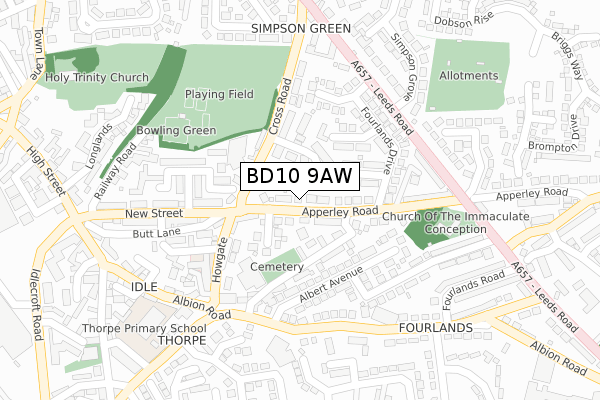
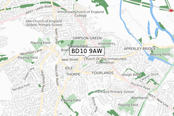
BD10 9AW is located in the Idle and Thackley electoral ward, within the metropolitan district of Bradford and the English Parliamentary constituency of Bradford East. The Sub Integrated Care Board (ICB) Location is NHS West Yorkshire ICB - 36J and the police force is West Yorkshire. This postcode has been in use since September 2019.


GetTheData
Source: OS Open Zoomstack (Ordnance Survey)
Licence: Open Government Licence (requires attribution)
Attribution: Contains OS data © Crown copyright and database right 2025
Source: Open Postcode Geo
Licence: Open Government Licence (requires attribution)
Attribution: Contains OS data © Crown copyright and database right 2025; Contains Royal Mail data © Royal Mail copyright and database right 2025; Source: Office for National Statistics licensed under the Open Government Licence v.3.0
| Easting | 418160 |
| Northing | 437791 |
| Latitude | 53.836075 |
| Longitude | -1.725536 |
GetTheData
Source: Open Postcode Geo
Licence: Open Government Licence
| Country | England |
| Postcode District | BD10 |
➜ See where BD10 is on a map ➜ Where is Bradford? | |
GetTheData
Source: Land Registry Price Paid Data
Licence: Open Government Licence
| Ward | Idle And Thackley |
| Constituency | Bradford East |
GetTheData
Source: ONS Postcode Database
Licence: Open Government Licence
2, APPERLEY MEWS, BRADFORD, BD10 9AW 2020 29 MAY £227,500 |
1, APPERLEY MEWS, BRADFORD, BD10 9AW 2019 19 SEP £245,000 |
GetTheData
Source: HM Land Registry Price Paid Data
Licence: Contains HM Land Registry data © Crown copyright and database right 2025. This data is licensed under the Open Government Licence v3.0.
| Apperley Road Croft St (Apperley Road) | Idle | 24m |
| Apperley Road Croft St (Apperley Road) | Idle | 30m |
| Albion Road Albert Ave (Albion Road) | Idle | 204m |
| Apperley Road Leeds Rd (Apperley Road) | Idle | 208m |
| Apperley Road Leeds Rd (Apperley Road) | Idle | 210m |
| Apperley Bridge Station | 1.4km |
| Baildon Station | 2.4km |
| Shipley Station | 3.2km |
GetTheData
Source: NaPTAN
Licence: Open Government Licence
GetTheData
Source: ONS Postcode Database
Licence: Open Government Licence


➜ Get more ratings from the Food Standards Agency
GetTheData
Source: Food Standards Agency
Licence: FSA terms & conditions
| Last Collection | |||
|---|---|---|---|
| Location | Mon-Fri | Sat | Distance |
| Idle P.o. Box | 17:15 | 11:45 | 363m |
| High Street Idle | 17:30 | 12:00 | 493m |
| Thorn Garth | 18:00 | 12:15 | 508m |
GetTheData
Source: Dracos
Licence: Creative Commons Attribution-ShareAlike
The below table lists the International Territorial Level (ITL) codes (formerly Nomenclature of Territorial Units for Statistics (NUTS) codes) and Local Administrative Units (LAU) codes for BD10 9AW:
| ITL 1 Code | Name |
|---|---|
| TLE | Yorkshire and The Humber |
| ITL 2 Code | Name |
| TLE4 | West Yorkshire |
| ITL 3 Code | Name |
| TLE41 | Bradford |
| LAU 1 Code | Name |
| E08000032 | Bradford |
GetTheData
Source: ONS Postcode Directory
Licence: Open Government Licence
The below table lists the Census Output Area (OA), Lower Layer Super Output Area (LSOA), and Middle Layer Super Output Area (MSOA) for BD10 9AW:
| Code | Name | |
|---|---|---|
| OA | E00053925 | |
| LSOA | E01010688 | Bradford 019E |
| MSOA | E02002201 | Bradford 019 |
GetTheData
Source: ONS Postcode Directory
Licence: Open Government Licence
| BD10 9RR | Apperley Road | 40m |
| BD10 9RN | Moat Crescent | 54m |
| BD10 9RP | Coleridge Gardens | 93m |
| BD10 9RS | Fourlands Grove | 95m |
| BD10 9QQ | Croft Street | 97m |
| BD10 9RT | Cross Road | 104m |
| BD10 9SP | Fourlands Gardens | 116m |
| BD10 9SN | Fourlands Crescent | 124m |
| BD10 9RD | Howgate | 125m |
| BD10 9QJ | Albert Avenue | 131m |
GetTheData
Source: Open Postcode Geo; Land Registry Price Paid Data
Licence: Open Government Licence