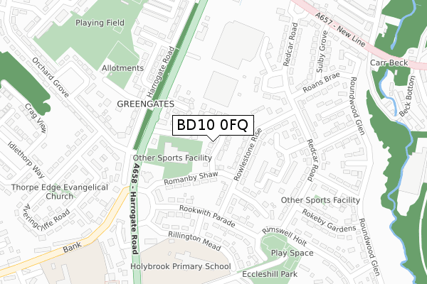
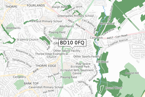
BD10 0FQ is located in the Eccleshill electoral ward, within the metropolitan district of Bradford and the English Parliamentary constituency of Bradford East. The Sub Integrated Care Board (ICB) Location is NHS West Yorkshire ICB - 36J and the police force is West Yorkshire. This postcode has been in use since September 2019.


GetTheData
Source: OS Open Zoomstack (Ordnance Survey)
Licence: Open Government Licence (requires attribution)
Attribution: Contains OS data © Crown copyright and database right 2025
Source: Open Postcode Geo
Licence: Open Government Licence (requires attribution)
Attribution: Contains OS data © Crown copyright and database right 2025; Contains Royal Mail data © Royal Mail copyright and database right 2025; Source: Office for National Statistics licensed under the Open Government Licence v.3.0
| Easting | 419028 |
| Northing | 436855 |
| Latitude | 53.827631 |
| Longitude | -1.712404 |
GetTheData
Source: Open Postcode Geo
Licence: Open Government Licence
| Country | England |
| Postcode District | BD10 |
➜ See where BD10 is on a map ➜ Where is Bradford? | |
GetTheData
Source: Land Registry Price Paid Data
Licence: Open Government Licence
| Ward | Eccleshill |
| Constituency | Bradford East |
GetTheData
Source: ONS Postcode Database
Licence: Open Government Licence
| Harrogate Road Holybrook Ave (Harrogate Road) | Greengates | 181m |
| Harrogate Road Cherry Tree Ave (Harrogate Road) | Greengates | 185m |
| Redcar Road Rowlestone Rise (Redcar Road) | Greengates | 187m |
| Redcar Road Rowlestone Rise (Redcar Road) | Greengates | 200m |
| Harrogate Rd Ruswarp Crescent (Harrogate Road) | Greengates | 250m |
| Apperley Bridge Station | 1.6km |
| New Pudsey Station | 3.3km |
| Baildon Station | 3.7km |
GetTheData
Source: NaPTAN
Licence: Open Government Licence
GetTheData
Source: ONS Postcode Database
Licence: Open Government Licence


➜ Get more ratings from the Food Standards Agency
GetTheData
Source: Food Standards Agency
Licence: FSA terms & conditions
| Last Collection | |||
|---|---|---|---|
| Location | Mon-Fri | Sat | Distance |
| 28 Redcar Road | 17:45 | 12:00 | 205m |
| 115 The Bank | 17:45 | 12:15 | 245m |
| Greengates P.o. Box | 17:15 | 12:15 | 473m |
GetTheData
Source: Dracos
Licence: Creative Commons Attribution-ShareAlike
The below table lists the International Territorial Level (ITL) codes (formerly Nomenclature of Territorial Units for Statistics (NUTS) codes) and Local Administrative Units (LAU) codes for BD10 0FQ:
| ITL 1 Code | Name |
|---|---|
| TLE | Yorkshire and The Humber |
| ITL 2 Code | Name |
| TLE4 | West Yorkshire |
| ITL 3 Code | Name |
| TLE41 | Bradford |
| LAU 1 Code | Name |
| E08000032 | Bradford |
GetTheData
Source: ONS Postcode Directory
Licence: Open Government Licence
The below table lists the Census Output Area (OA), Lower Layer Super Output Area (LSOA), and Middle Layer Super Output Area (MSOA) for BD10 0FQ:
| Code | Name | |
|---|---|---|
| OA | E00053746 | |
| LSOA | E01010653 | Bradford 026B |
| MSOA | E02002208 | Bradford 026 |
GetTheData
Source: ONS Postcode Directory
Licence: Open Government Licence
| BD10 0QG | Jamie Court | 74m |
| BD10 0QN | Holybrook Avenue | 100m |
| BD10 0DS | Rowlestone Rise | 103m |
| BD10 0EH | Romanby Shaw | 123m |
| BD10 0QE | Harrogate Road | 127m |
| BD10 0DU | Rowlestone Rise | 144m |
| BD10 0DT | Rowton Thorpe | 193m |
| BD10 0EQ | Ruswarp Crescent | 199m |
| BD10 0QQ | Harrogate Road | 204m |
| BD10 0DX | Rookwith Parade | 214m |
GetTheData
Source: Open Postcode Geo; Land Registry Price Paid Data
Licence: Open Government Licence