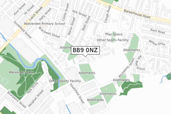
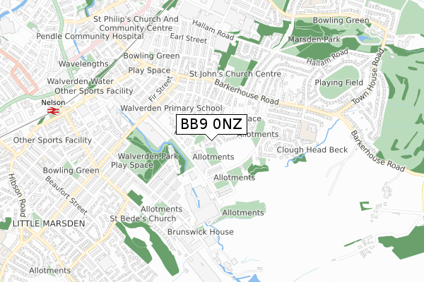
BB9 0NZ is located in the Marsden & Southfield electoral ward, within the local authority district of Pendle and the English Parliamentary constituency of Pendle. The Sub Integrated Care Board (ICB) Location is NHS Lancashire and South Cumbria ICB - 01A and the police force is Lancashire. This postcode has been in use since July 2018.


GetTheData
Source: OS Open Zoomstack (Ordnance Survey)
Licence: Open Government Licence (requires attribution)
Attribution: Contains OS data © Crown copyright and database right 2024
Source: Open Postcode Geo
Licence: Open Government Licence (requires attribution)
Attribution: Contains OS data © Crown copyright and database right 2024; Contains Royal Mail data © Royal Mail copyright and database right 2024; Source: Office for National Statistics licensed under the Open Government Licence v.3.0
| Easting | 386928 |
| Northing | 437451 |
| Latitude | 53.833164 |
| Longitude | -2.200107 |
GetTheData
Source: Open Postcode Geo
Licence: Open Government Licence
| Country | England |
| Postcode District | BB9 |
➜ See where BB9 is on a map ➜ Where is Nelson? | |
GetTheData
Source: Land Registry Price Paid Data
Licence: Open Government Licence
| Ward | Marsden & Southfield |
| Constituency | Pendle |
GetTheData
Source: ONS Postcode Database
Licence: Open Government Licence
| Messenger Street (Southfield Street) | Valley Mills | 321m |
| Clough Road (Barkerhouse Road) | Marsden Park | 328m |
| Wenning Street (Southfield Street) | Valley Mills | 330m |
| Manor Street (Barkerhouse Road) | Marsden Park | 369m |
| Hendon Road | Marsden Park | 377m |
| Nelson Station | 0.9km |
| Brierfield Station | 2.6km |
| Colne Station | 2.7km |
GetTheData
Source: NaPTAN
Licence: Open Government Licence
| Percentage of properties with Next Generation Access | 100.0% |
| Percentage of properties with Superfast Broadband | 100.0% |
| Percentage of properties with Ultrafast Broadband | 100.0% |
| Percentage of properties with Full Fibre Broadband | 100.0% |
Superfast Broadband is between 30Mbps and 300Mbps
Ultrafast Broadband is > 300Mbps
| Percentage of properties unable to receive 2Mbps | 0.0% |
| Percentage of properties unable to receive 5Mbps | 0.0% |
| Percentage of properties unable to receive 10Mbps | 0.0% |
| Percentage of properties unable to receive 30Mbps | 0.0% |
GetTheData
Source: Ofcom
Licence: Ofcom Terms of Use (requires attribution)
GetTheData
Source: ONS Postcode Database
Licence: Open Government Licence


➜ Get more ratings from the Food Standards Agency
GetTheData
Source: Food Standards Agency
Licence: FSA terms & conditions
| Last Collection | |||
|---|---|---|---|
| Location | Mon-Fri | Sat | Distance |
| St Johns | 17:30 | 11:00 | 615m |
| Hill Place | 17:30 | 12:00 | 1,228m |
| Briercliffe Road | 17:30 | 11:00 | 2,038m |
GetTheData
Source: Dracos
Licence: Creative Commons Attribution-ShareAlike
The below table lists the International Territorial Level (ITL) codes (formerly Nomenclature of Territorial Units for Statistics (NUTS) codes) and Local Administrative Units (LAU) codes for BB9 0NZ:
| ITL 1 Code | Name |
|---|---|
| TLD | North West (England) |
| ITL 2 Code | Name |
| TLD4 | Lancashire |
| ITL 3 Code | Name |
| TLD46 | East Lancashire |
| LAU 1 Code | Name |
| E07000122 | Pendle |
GetTheData
Source: ONS Postcode Directory
Licence: Open Government Licence
The below table lists the Census Output Area (OA), Lower Layer Super Output Area (LSOA), and Middle Layer Super Output Area (MSOA) for BB9 0NZ:
| Code | Name | |
|---|---|---|
| OA | E00127991 | |
| LSOA | E01025216 | Pendle 012D |
| MSOA | E02005251 | Pendle 012 |
GetTheData
Source: ONS Postcode Directory
Licence: Open Government Licence
| BB9 0NR | Bracewell Street | 73m |
| BB9 0NT | Priory Chase | 112m |
| BB9 0LB | Fletcher Street | 136m |
| BB9 0LA | Manor Street | 143m |
| BB9 0NP | Bath Street | 145m |
| BB9 0LE | Wenning Street | 163m |
| BB9 0LG | Wickworth Street | 182m |
| BB9 0TS | Manor Street | 193m |
| BB9 0JZ | Southfield Street | 202m |
| BB9 0TN | Castle Street | 227m |
GetTheData
Source: Open Postcode Geo; Land Registry Price Paid Data
Licence: Open Government Licence