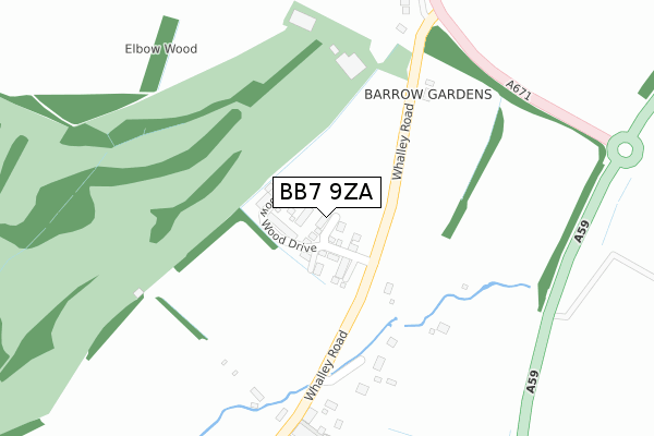
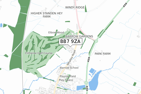
BB7 9ZA is located in the Wiswell & Barrow electoral ward, within the local authority district of Ribble Valley and the English Parliamentary constituency of Ribble Valley. The Sub Integrated Care Board (ICB) Location is NHS Lancashire and South Cumbria ICB - 01A and the police force is Lancashire. This postcode has been in use since April 2018.


GetTheData
Source: OS Open Zoomstack (Ordnance Survey)
Licence: Open Government Licence (requires attribution)
Attribution: Contains OS data © Crown copyright and database right 2025
Source: Open Postcode Geo
Licence: Open Government Licence (requires attribution)
Attribution: Contains OS data © Crown copyright and database right 2025; Contains Royal Mail data © Royal Mail copyright and database right 2025; Source: Office for National Statistics licensed under the Open Government Licence v.3.0
| Easting | 373909 |
| Northing | 438877 |
| Latitude | 53.845487 |
| Longitude | -2.398040 |
GetTheData
Source: Open Postcode Geo
Licence: Open Government Licence
| Country | England |
| Postcode District | BB7 |
➜ See where BB7 is on a map ➜ Where is Barrow? | |
GetTheData
Source: Land Registry Price Paid Data
Licence: Open Government Licence
| Ward | Wiswell & Barrow |
| Constituency | Ribble Valley |
GetTheData
Source: ONS Postcode Database
Licence: Open Government Licence
2019 22 MAR £266,750 |
GetTheData
Source: HM Land Registry Price Paid Data
Licence: Contains HM Land Registry data © Crown copyright and database right 2025. This data is licensed under the Open Government Licence v3.0.
| Garden Centre (Whalley Road) | Barrow | 109m |
| Audley House (Whalley Road) | Barrow | 236m |
| Clitheroe Golf Club (Whalley Road) | Barrow | 240m |
| Clitheroe Golf Club (Whalley Road) | Barrow | 250m |
| Primary School (Whalley Road) | Barrow | 350m |
| Whalley Station | 2.6km |
| Clitheroe Station | 3.1km |
| Langho Station | 5.6km |
GetTheData
Source: NaPTAN
Licence: Open Government Licence
| Percentage of properties with Next Generation Access | 100.0% |
| Percentage of properties with Superfast Broadband | 100.0% |
| Percentage of properties with Ultrafast Broadband | 100.0% |
| Percentage of properties with Full Fibre Broadband | 100.0% |
Superfast Broadband is between 30Mbps and 300Mbps
Ultrafast Broadband is > 300Mbps
| Percentage of properties unable to receive 2Mbps | 0.0% |
| Percentage of properties unable to receive 5Mbps | 0.0% |
| Percentage of properties unable to receive 10Mbps | 0.0% |
| Percentage of properties unable to receive 30Mbps | 0.0% |
GetTheData
Source: Ofcom
Licence: Ofcom Terms of Use (requires attribution)
GetTheData
Source: ONS Postcode Database
Licence: Open Government Licence


➜ Get more ratings from the Food Standards Agency
GetTheData
Source: Food Standards Agency
Licence: FSA terms & conditions
| Last Collection | |||
|---|---|---|---|
| Location | Mon-Fri | Sat | Distance |
| 2 Beverley Drive | 17:00 | 11:00 | 1,932m |
| Station Whalley | 16:15 | 12:30 | 2,603m |
| 144 Chatburn Road | 16:00 | 11:30 | 3,875m |
GetTheData
Source: Dracos
Licence: Creative Commons Attribution-ShareAlike
The below table lists the International Territorial Level (ITL) codes (formerly Nomenclature of Territorial Units for Statistics (NUTS) codes) and Local Administrative Units (LAU) codes for BB7 9ZA:
| ITL 1 Code | Name |
|---|---|
| TLD | North West (England) |
| ITL 2 Code | Name |
| TLD4 | Lancashire |
| ITL 3 Code | Name |
| TLD45 | Mid Lancashire |
| LAU 1 Code | Name |
| E07000124 | Ribble Valley |
GetTheData
Source: ONS Postcode Directory
Licence: Open Government Licence
The below table lists the Census Output Area (OA), Lower Layer Super Output Area (LSOA), and Middle Layer Super Output Area (MSOA) for BB7 9ZA:
| Code | Name | |
|---|---|---|
| OA | E00128680 | |
| LSOA | E01025354 | Ribble Valley 005E |
| MSOA | E02005274 | Ribble Valley 005 |
GetTheData
Source: ONS Postcode Directory
Licence: Open Government Licence
| BB7 9BA | Whalley Road | 265m |
| BB7 9BB | Birch View | 303m |
| BB7 9AZ | Old Row | 379m |
| BB7 9AU | Cockerill Terrace | 460m |
| BB7 9BF | Brambles Close | 477m |
| BB7 9BP | Washbrook Close | 517m |
| BB7 9AX | Trafford Gardens | 532m |
| BB7 9AT | Abbey Terrace | 550m |
| BB7 9FA | Paynter Close | 597m |
| BB7 9AS | Whalley Road | 607m |
GetTheData
Source: Open Postcode Geo; Land Registry Price Paid Data
Licence: Open Government Licence