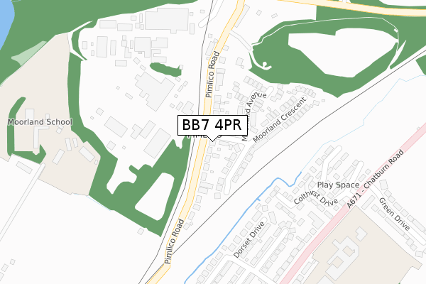
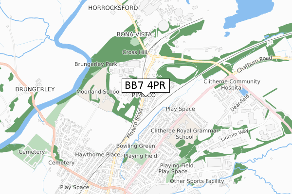
BB7 4PR is located in the Gisburn & Rimington electoral ward, within the local authority district of Ribble Valley and the English Parliamentary constituency of Ribble Valley. The Sub Integrated Care Board (ICB) Location is NHS Lancashire and South Cumbria ICB - 01A and the police force is Lancashire. This postcode has been in use since September 2019.


GetTheData
Source: OS Open Zoomstack (Ordnance Survey)
Licence: Open Government Licence (requires attribution)
Attribution: Contains OS data © Crown copyright and database right 2025
Source: Open Postcode Geo
Licence: Open Government Licence (requires attribution)
Attribution: Contains OS data © Crown copyright and database right 2025; Contains Royal Mail data © Royal Mail copyright and database right 2025; Source: Office for National Statistics licensed under the Open Government Licence v.3.0
| Easting | 382470 |
| Northing | 448941 |
| Latitude | 53.936300 |
| Longitude | -2.268505 |
GetTheData
Source: Open Postcode Geo
Licence: Open Government Licence
| Country | England |
| Postcode District | BB7 |
➜ See where BB7 is on a map ➜ Where is Gisburn? | |
GetTheData
Source: Land Registry Price Paid Data
Licence: Open Government Licence
| Ward | Gisburn & Rimington |
| Constituency | Ribble Valley |
GetTheData
Source: ONS Postcode Database
Licence: Open Government Licence
| Post Office (Main Street) | Gisburn | 393m |
| Primary School (Burnley Road) | Gisburn | 400m |
| White Bull (Main Street) | Gisburn | 453m |
| Travellers Court (Main Street) | Gisburn | 667m |
| Travellers Court (Main Street) | Gisburn | 689m |
GetTheData
Source: NaPTAN
Licence: Open Government Licence
GetTheData
Source: ONS Postcode Database
Licence: Open Government Licence


➜ Get more ratings from the Food Standards Agency
GetTheData
Source: Food Standards Agency
Licence: FSA terms & conditions
The below table lists the International Territorial Level (ITL) codes (formerly Nomenclature of Territorial Units for Statistics (NUTS) codes) and Local Administrative Units (LAU) codes for BB7 4PR:
| ITL 1 Code | Name |
|---|---|
| TLD | North West (England) |
| ITL 2 Code | Name |
| TLD4 | Lancashire |
| ITL 3 Code | Name |
| TLD45 | Mid Lancashire |
| LAU 1 Code | Name |
| E07000124 | Ribble Valley |
GetTheData
Source: ONS Postcode Directory
Licence: Open Government Licence
The below table lists the Census Output Area (OA), Lower Layer Super Output Area (LSOA), and Middle Layer Super Output Area (MSOA) for BB7 4PR:
| Code | Name | |
|---|---|---|
| OA | E00128567 | |
| LSOA | E01025331 | Ribble Valley 001C |
| MSOA | E02005270 | Ribble Valley 001 |
GetTheData
Source: ONS Postcode Directory
Licence: Open Government Licence
| BB7 4LN | Mill Lane | 76m |
| BB7 4ES | Gisburn Road | 207m |
| BB7 4JW | Stable Close | 279m |
| BB7 4HT | Park Road | 298m |
| BB7 4HB | Ribblesdale Court | 382m |
| BB7 4HA | Park View | 393m |
| BB7 4ET | Burnley Road | 424m |
| BB7 4EZ | Lyndale Terrace | 432m |
| BB7 4HE | Main Street | 434m |
| BB7 4JU | Wheelwright Close | 463m |
GetTheData
Source: Open Postcode Geo; Land Registry Price Paid Data
Licence: Open Government Licence