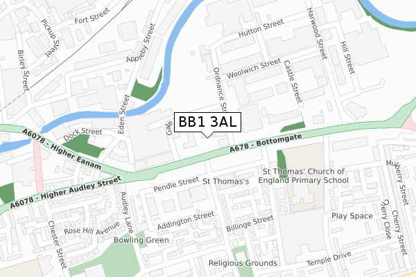
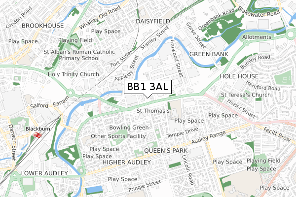
BB1 3AL is located in the Rishton electoral ward, within the local authority district of Hyndburn and the English Parliamentary constituency of Hyndburn. The Sub Integrated Care Board (ICB) Location is NHS Lancashire and South Cumbria ICB - 01A and the police force is Lancashire. This postcode has been in use since September 2018.


GetTheData
Source: OS Open Zoomstack (Ordnance Survey)
Licence: Open Government Licence (requires attribution)
Attribution: Contains OS data © Crown copyright and database right 2025
Source: Open Postcode Geo
Licence: Open Government Licence (requires attribution)
Attribution: Contains OS data © Crown copyright and database right 2025; Contains Royal Mail data © Royal Mail copyright and database right 2025; Source: Office for National Statistics licensed under the Open Government Licence v.3.0
| Easting | 371339 |
| Northing | 428498 |
| Latitude | 53.752069 |
| Longitude | -2.436130 |
GetTheData
Source: Open Postcode Geo
Licence: Open Government Licence
| Country | England |
| Postcode District | BB1 |
➜ See where BB1 is on a map ➜ Where is Blackburn? | |
GetTheData
Source: Land Registry Price Paid Data
Licence: Open Government Licence
| Ward | Rishton |
| Constituency | Hyndburn |
GetTheData
Source: ONS Postcode Database
Licence: Open Government Licence
| Windsor Road (Blackburn Road) | Knuzden Brook | 331m |
| Old Mother Redcar (Blackburn Road) | Knuzden Brook | 338m |
| Old Mother Redcar (Blackburn Road) | Knuzden Brook | 343m |
| Windsor Road (Blackburn Road) | Knuzden Brook | 404m |
| Accrington Road | Intack | 555m |
| Rishton Station | 1.7km |
| Blackburn Station | 2.9km |
| Church & Oswaldtwistle Station | 3km |
GetTheData
Source: NaPTAN
Licence: Open Government Licence
GetTheData
Source: ONS Postcode Database
Licence: Open Government Licence


➜ Get more ratings from the Food Standards Agency
GetTheData
Source: Food Standards Agency
Licence: FSA terms & conditions
| Last Collection | |||
|---|---|---|---|
| Location | Mon-Fri | Sat | Distance |
| 188 Burnley Road | 16:30 | 11:30 | 855m |
| Whitebirk Ind Estate | 17:15 | 12:30 | 1,128m |
| Longton Street | 17:15 | 13:15 | 1,300m |
GetTheData
Source: Dracos
Licence: Creative Commons Attribution-ShareAlike
The below table lists the International Territorial Level (ITL) codes (formerly Nomenclature of Territorial Units for Statistics (NUTS) codes) and Local Administrative Units (LAU) codes for BB1 3AL:
| ITL 1 Code | Name |
|---|---|
| TLD | North West (England) |
| ITL 2 Code | Name |
| TLD4 | Lancashire |
| ITL 3 Code | Name |
| TLD46 | East Lancashire |
| LAU 1 Code | Name |
| E07000120 | Hyndburn |
GetTheData
Source: ONS Postcode Directory
Licence: Open Government Licence
The below table lists the Census Output Area (OA), Lower Layer Super Output Area (LSOA), and Middle Layer Super Output Area (MSOA) for BB1 3AL:
| Code | Name | |
|---|---|---|
| OA | E00127262 | |
| LSOA | E01025074 | Hyndburn 003E |
| MSOA | E02005214 | Hyndburn 003 |
GetTheData
Source: ONS Postcode Directory
Licence: Open Government Licence
| BB1 3LU | Richmond Crescent | 366m |
| BB1 3NJ | Blackburn Road | 395m |
| BB1 3LY | Brantwood Avenue | 405m |
| BB1 3LZ | Brantwood Avenue | 439m |
| BB1 3NW | Peronne Crescent | 442m |
| BB1 3NQ | Lyndhurst Avenue | 447m |
| BB1 3NP | Maricourt Avenue | 470m |
| BB1 3LX | Windsor Road | 472m |
| BB1 3NA | Avondale Avenue | 472m |
| BB1 3LS | Blackburn Road | 491m |
GetTheData
Source: Open Postcode Geo; Land Registry Price Paid Data
Licence: Open Government Licence