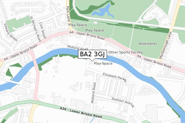
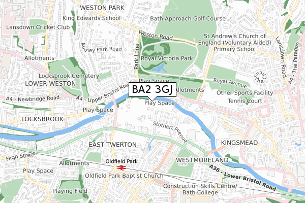
BA2 3GJ is located in the Westmoreland electoral ward, within the unitary authority of Bath and North East Somerset and the English Parliamentary constituency of Bath. The Sub Integrated Care Board (ICB) Location is NHS Bath and North East Somerset, Swindon and Wiltshire ICB - 92 and the police force is Avon and Somerset. This postcode has been in use since October 2018.


GetTheData
Source: OS Open Zoomstack (Ordnance Survey)
Licence: Open Government Licence (requires attribution)
Attribution: Contains OS data © Crown copyright and database right 2025
Source: Open Postcode Geo
Licence: Open Government Licence (requires attribution)
Attribution: Contains OS data © Crown copyright and database right 2025; Contains Royal Mail data © Royal Mail copyright and database right 2025; Source: Office for National Statistics licensed under the Open Government Licence v.3.0
| Easting | 373876 |
| Northing | 165076 |
| Latitude | 51.384120 |
| Longitude | -2.376782 |
GetTheData
Source: Open Postcode Geo
Licence: Open Government Licence
| Country | England |
| Postcode District | BA2 |
➜ See where BA2 is on a map ➜ Where is Bath? | |
GetTheData
Source: Land Registry Price Paid Data
Licence: Open Government Licence
| Ward | Westmoreland |
| Constituency | Bath |
GetTheData
Source: ONS Postcode Database
Licence: Open Government Licence
| Park Lane | Lower Weston | 178m |
| Park Lane (Upper Bristol Road) | Lower Weston | 205m |
| Comfortable Place (Upper Bristol Road) | Lower Weston | 229m |
| Comfortable Place (Upper Bristol Road) | Lower Weston | 252m |
| Dorset Close (Lower Bristol Road) | East Twerton | 290m |
| Oldfield Park Station | 0.6km |
| Bath Spa Station | 1.6km |
GetTheData
Source: NaPTAN
Licence: Open Government Licence
| Percentage of properties with Next Generation Access | 100.0% |
| Percentage of properties with Superfast Broadband | 100.0% |
| Percentage of properties with Ultrafast Broadband | 100.0% |
| Percentage of properties with Full Fibre Broadband | 100.0% |
Superfast Broadband is between 30Mbps and 300Mbps
Ultrafast Broadband is > 300Mbps
| Percentage of properties unable to receive 2Mbps | 0.0% |
| Percentage of properties unable to receive 5Mbps | 0.0% |
| Percentage of properties unable to receive 10Mbps | 0.0% |
| Percentage of properties unable to receive 30Mbps | 0.0% |
GetTheData
Source: Ofcom
Licence: Ofcom Terms of Use (requires attribution)
GetTheData
Source: ONS Postcode Database
Licence: Open Government Licence


➜ Get more ratings from the Food Standards Agency
GetTheData
Source: Food Standards Agency
Licence: FSA terms & conditions
| Last Collection | |||
|---|---|---|---|
| Location | Mon-Fri | Sat | Distance |
| Cork Place | 17:30 | 13:00 | 273m |
| Farmborough P.o. | 17:00 | 11:00 | 321m |
| Audley Park Road | 17:30 | 13:00 | 512m |
GetTheData
Source: Dracos
Licence: Creative Commons Attribution-ShareAlike
The below table lists the International Territorial Level (ITL) codes (formerly Nomenclature of Territorial Units for Statistics (NUTS) codes) and Local Administrative Units (LAU) codes for BA2 3GJ:
| ITL 1 Code | Name |
|---|---|
| TLK | South West (England) |
| ITL 2 Code | Name |
| TLK1 | Gloucestershire, Wiltshire and Bath/Bristol area |
| ITL 3 Code | Name |
| TLK12 | Bath and North East Somerset, North Somerset and South Gloucestershire |
| LAU 1 Code | Name |
| E06000022 | Bath and North East Somerset |
GetTheData
Source: ONS Postcode Directory
Licence: Open Government Licence
The below table lists the Census Output Area (OA), Lower Layer Super Output Area (LSOA), and Middle Layer Super Output Area (MSOA) for BA2 3GJ:
| Code | Name | |
|---|---|---|
| OA | E00073105 | |
| LSOA | E01014475 | Bath and North East Somerset 013C |
| MSOA | E02002997 | Bath and North East Somerset 013 |
GetTheData
Source: ONS Postcode Directory
Licence: Open Government Licence
| BA2 3FT | Midland Road | 64m |
| BA1 3AP | Upper Bristol Road | 131m |
| BA2 3GE | Percy Terrace | 141m |
| BA1 3AW | Upper Bristol Road | 141m |
| BA1 3AE | Upper Bristol Road | 158m |
| BA2 3FW | Stothert Avenue | 181m |
| BA2 3WN | Longmead Terrace | 190m |
| BA1 3AH | Onega Terrace | 203m |
| BA1 3AJ | Comfortable Place | 205m |
| BA2 3WH | Longmead Terrace | 207m |
GetTheData
Source: Open Postcode Geo; Land Registry Price Paid Data
Licence: Open Government Licence