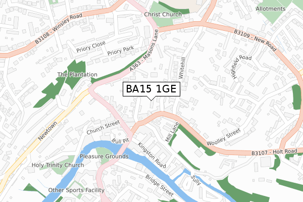
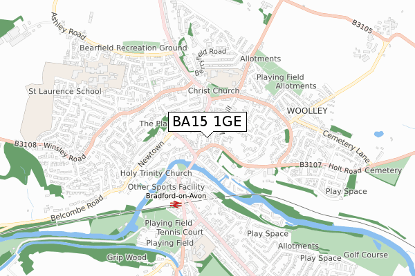
BA15 1GE is located in the Bradford-on-Avon South electoral ward, within the unitary authority of Wiltshire and the English Parliamentary constituency of Chippenham. The Sub Integrated Care Board (ICB) Location is NHS Bath and North East Somerset, Swindon and Wiltshire ICB - 92 and the police force is Wiltshire. This postcode has been in use since June 2019.


GetTheData
Source: OS Open Zoomstack (Ordnance Survey)
Licence: Open Government Licence (requires attribution)
Attribution: Contains OS data © Crown copyright and database right 2025
Source: Open Postcode Geo
Licence: Open Government Licence (requires attribution)
Attribution: Contains OS data © Crown copyright and database right 2025; Contains Royal Mail data © Royal Mail copyright and database right 2025; Source: Office for National Statistics licensed under the Open Government Licence v.3.0
| Easting | 382713 |
| Northing | 161071 |
| Latitude | 51.348449 |
| Longitude | -2.249601 |
GetTheData
Source: Open Postcode Geo
Licence: Open Government Licence
| Country | England |
| Postcode District | BA15 |
➜ See where BA15 is on a map ➜ Where is Bradford-on-Avon? | |
GetTheData
Source: Land Registry Price Paid Data
Licence: Open Government Licence
| Ward | Bradford-on-avon South |
| Constituency | Chippenham |
GetTheData
Source: ONS Postcode Database
Licence: Open Government Licence
| The Hall (Silver Street) | Bradford-on-avon | 187m |
| The Hall (Silver Street) | Bradford-on-avon | 216m |
| Town Bridge (Silver Street) | Bradford-on-avon | 218m |
| Town Bridge (Silver Street) | Bradford-on-avon | 242m |
| Community Centre (Mount Pleasant) | Bradford-on-avon | 261m |
| Bradford-on-Avon Station | 0.4km |
| Avoncliff Station | 2.4km |
| Freshford Station | 3.7km |
GetTheData
Source: NaPTAN
Licence: Open Government Licence
| Percentage of properties with Next Generation Access | 100.0% |
| Percentage of properties with Superfast Broadband | 100.0% |
| Percentage of properties with Ultrafast Broadband | 0.0% |
| Percentage of properties with Full Fibre Broadband | 0.0% |
Superfast Broadband is between 30Mbps and 300Mbps
Ultrafast Broadband is > 300Mbps
| Percentage of properties unable to receive 2Mbps | 0.0% |
| Percentage of properties unable to receive 5Mbps | 0.0% |
| Percentage of properties unable to receive 10Mbps | 0.0% |
| Percentage of properties unable to receive 30Mbps | 0.0% |
GetTheData
Source: Ofcom
Licence: Ofcom Terms of Use (requires attribution)
GetTheData
Source: ONS Postcode Database
Licence: Open Government Licence


➜ Get more ratings from the Food Standards Agency
GetTheData
Source: Food Standards Agency
Licence: FSA terms & conditions
| Last Collection | |||
|---|---|---|---|
| Location | Mon-Fri | Sat | Distance |
| Bradford On Avon Post Office | 17:15 | 12:15 | 113m |
| Christchurch | 17:15 | 11:30 | 316m |
| Station Approach | 17:15 | 11:30 | 369m |
GetTheData
Source: Dracos
Licence: Creative Commons Attribution-ShareAlike
The below table lists the International Territorial Level (ITL) codes (formerly Nomenclature of Territorial Units for Statistics (NUTS) codes) and Local Administrative Units (LAU) codes for BA15 1GE:
| ITL 1 Code | Name |
|---|---|
| TLK | South West (England) |
| ITL 2 Code | Name |
| TLK1 | Gloucestershire, Wiltshire and Bath/Bristol area |
| ITL 3 Code | Name |
| TLK15 | Wiltshire |
| LAU 1 Code | Name |
| E06000054 | Wiltshire |
GetTheData
Source: ONS Postcode Directory
Licence: Open Government Licence
The below table lists the Census Output Area (OA), Lower Layer Super Output Area (LSOA), and Middle Layer Super Output Area (MSOA) for BA15 1GE:
| Code | Name | |
|---|---|---|
| OA | E00163463 | |
| LSOA | E01032050 | Wiltshire 027F |
| MSOA | E02006682 | Wiltshire 027 |
GetTheData
Source: ONS Postcode Directory
Licence: Open Government Licence
| BA15 1JY | Silver Street | 48m |
| BA15 1JT | Coppice Hill | 56m |
| BA15 1JU | Whiteheads Lane | 66m |
| BA15 1JZ | Silver Street | 81m |
| BA15 1SG | Whitehill | 94m |
| BA15 1FB | Mill Lane | 105m |
| BA15 1QN | Masons Lane | 110m |
| BA15 1JX | Silver Street | 114m |
| BA15 1AB | Kingston Road | 115m |
| BA15 1LJ | Market Street | 121m |
GetTheData
Source: Open Postcode Geo; Land Registry Price Paid Data
Licence: Open Government Licence