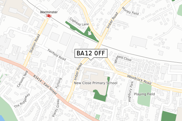
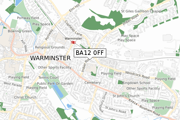
BA12 0FF is located in the Wylye Valley electoral ward, within the unitary authority of Wiltshire and the English Parliamentary constituency of South West Wiltshire. The Sub Integrated Care Board (ICB) Location is NHS Bath and North East Somerset, Swindon and Wiltshire ICB - 92 and the police force is Wiltshire. This postcode has been in use since February 2019.


GetTheData
Source: OS Open Zoomstack (Ordnance Survey)
Licence: Open Government Licence (requires attribution)
Attribution: Contains OS data © Crown copyright and database right 2025
Source: Open Postcode Geo
Licence: Open Government Licence (requires attribution)
Attribution: Contains OS data © Crown copyright and database right 2025; Contains Royal Mail data © Royal Mail copyright and database right 2025; Source: Office for National Statistics licensed under the Open Government Licence v.3.0
| Easting | 397619 |
| Northing | 139793 |
| Latitude | 51.157379 |
| Longitude | -2.035419 |
GetTheData
Source: Open Postcode Geo
Licence: Open Government Licence
| Country | England |
| Postcode District | BA12 |
➜ See where BA12 is on a map ➜ Where is Codford St Mary? | |
GetTheData
Source: Land Registry Price Paid Data
Licence: Open Government Licence
| Ward | Wylye Valley |
| Constituency | South West Wiltshire |
GetTheData
Source: ONS Postcode Database
Licence: Open Government Licence
| East Farm (High Street) | Codford | 303m |
| East Farm (High Street) | Codford | 320m |
| The Bridge (High Street) | Codford | 386m |
| The Bridge (High Street) | Codford | 389m |
| Cherry Orchard (High Street) | Codford St Mary | 699m |
GetTheData
Source: NaPTAN
Licence: Open Government Licence
GetTheData
Source: ONS Postcode Database
Licence: Open Government Licence


➜ Get more ratings from the Food Standards Agency
GetTheData
Source: Food Standards Agency
Licence: FSA terms & conditions
| Last Collection | |||
|---|---|---|---|
| Location | Mon-Fri | Sat | Distance |
| Codford Stores | 12:00 | 11:00 | 603m |
| Codford Post Office | 17:00 | 11:00 | 1,392m |
| Stockton | 16:20 | 09:00 | 1,521m |
GetTheData
Source: Dracos
Licence: Creative Commons Attribution-ShareAlike
The below table lists the International Territorial Level (ITL) codes (formerly Nomenclature of Territorial Units for Statistics (NUTS) codes) and Local Administrative Units (LAU) codes for BA12 0FF:
| ITL 1 Code | Name |
|---|---|
| TLK | South West (England) |
| ITL 2 Code | Name |
| TLK1 | Gloucestershire, Wiltshire and Bath/Bristol area |
| ITL 3 Code | Name |
| TLK15 | Wiltshire |
| LAU 1 Code | Name |
| E06000054 | Wiltshire |
GetTheData
Source: ONS Postcode Directory
Licence: Open Government Licence
The below table lists the Census Output Area (OA), Lower Layer Super Output Area (LSOA), and Middle Layer Super Output Area (MSOA) for BA12 0FF:
| Code | Name | |
|---|---|---|
| OA | E00163600 | |
| LSOA | E01032075 | Wiltshire 047B |
| MSOA | E02006695 | Wiltshire 047 |
GetTheData
Source: ONS Postcode Directory
Licence: Open Government Licence
| BA12 0PG | Chitterne Road | 177m |
| BA12 0PJ | Church Lane | 275m |
| BA12 0PB | Salisbury Road | 324m |
| BA12 0NA | High Street | 391m |
| BA12 0PA | Malmpit Hill | 393m |
| BA12 0PF | Chitterne Road | 444m |
| BA12 0PR | Granary Close | 449m |
| BA12 0PQ | Cheapside | 462m |
| BA12 0PD | Giggan Street | 520m |
| BA12 0NB | High Street | 527m |
GetTheData
Source: Open Postcode Geo; Land Registry Price Paid Data
Licence: Open Government Licence