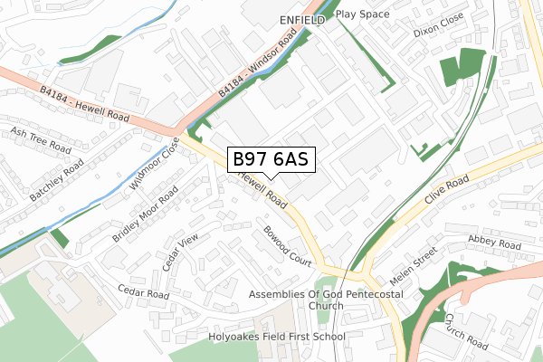
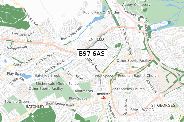
B97 6AS is located in the Abbey electoral ward, within the local authority district of Redditch and the English Parliamentary constituency of Redditch. The Sub Integrated Care Board (ICB) Location is NHS Herefordshire and Worcestershire ICB - 18C and the police force is West Mercia. This postcode has been in use since January 2018.


GetTheData
Source: OS Open Zoomstack (Ordnance Survey)
Licence: Open Government Licence (requires attribution)
Attribution: Contains OS data © Crown copyright and database right 2025
Source: Open Postcode Geo
Licence: Open Government Licence (requires attribution)
Attribution: Contains OS data © Crown copyright and database right 2025; Contains Royal Mail data © Royal Mail copyright and database right 2025; Source: Office for National Statistics licensed under the Open Government Licence v.3.0
| Easting | 403652 |
| Northing | 268074 |
| Latitude | 52.310781 |
| Longitude | -1.947847 |
GetTheData
Source: Open Postcode Geo
Licence: Open Government Licence
| Country | England |
| Postcode District | B97 |
➜ See where B97 is on a map ➜ Where is Redditch? | |
GetTheData
Source: Land Registry Price Paid Data
Licence: Open Government Licence
| Ward | Abbey |
| Constituency | Redditch |
GetTheData
Source: ONS Postcode Database
Licence: Open Government Licence
| Swimming Pool (Hewell Road) | Batchley | 95m |
| Swimming Pool (Hewell Road) | Batchley | 111m |
| Enfield Industrial Estate (Hewell Road) | Redditch | 116m |
| Bridley Moor Road | Batchley | 151m |
| Enfield Industrial Estate (Hewell Road) | Redditch | 159m |
| Redditch Station | 0.5km |
| Alvechurch Station | 4.2km |
GetTheData
Source: NaPTAN
Licence: Open Government Licence
GetTheData
Source: ONS Postcode Database
Licence: Open Government Licence

➜ Get more ratings from the Food Standards Agency
GetTheData
Source: Food Standards Agency
Licence: FSA terms & conditions
| Last Collection | |||
|---|---|---|---|
| Location | Mon-Fri | Sat | Distance |
| Edward St | 17:30 | 11:30 | 534m |
| Unicorn Hill Box | 18:30 | 12:30 | 602m |
| Unicorn Hill | 18:30 | 603m | |
GetTheData
Source: Dracos
Licence: Creative Commons Attribution-ShareAlike
The below table lists the International Territorial Level (ITL) codes (formerly Nomenclature of Territorial Units for Statistics (NUTS) codes) and Local Administrative Units (LAU) codes for B97 6AS:
| ITL 1 Code | Name |
|---|---|
| TLG | West Midlands (England) |
| ITL 2 Code | Name |
| TLG1 | Herefordshire, Worcestershire and Warwickshire |
| ITL 3 Code | Name |
| TLG12 | Worcestershire CC |
| LAU 1 Code | Name |
| E07000236 | Redditch |
GetTheData
Source: ONS Postcode Directory
Licence: Open Government Licence
The below table lists the Census Output Area (OA), Lower Layer Super Output Area (LSOA), and Middle Layer Super Output Area (MSOA) for B97 6AS:
| Code | Name | |
|---|---|---|
| OA | E00171588 | |
| LSOA | E01032224 | Redditch 004A |
| MSOA | E02006724 | Redditch 004 |
GetTheData
Source: ONS Postcode Directory
Licence: Open Government Licence
| B97 6AT | Hewell Road | 44m |
| B97 6HP | Cedar Park Road | 156m |
| B97 6AN | Hewell Road | 172m |
| B97 6HU | Bridley Moor Road | 188m |
| B97 6JF | Fir Tree Close | 207m |
| B97 6HW | Cedar View | 213m |
| B97 6BA | Hewell Road | 220m |
| B97 6DJ | Windsor Road | 230m |
| B97 6HL | Cedar Road | 244m |
| B97 4BU | Mill Street | 253m |
GetTheData
Source: Open Postcode Geo; Land Registry Price Paid Data
Licence: Open Government Licence