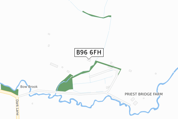
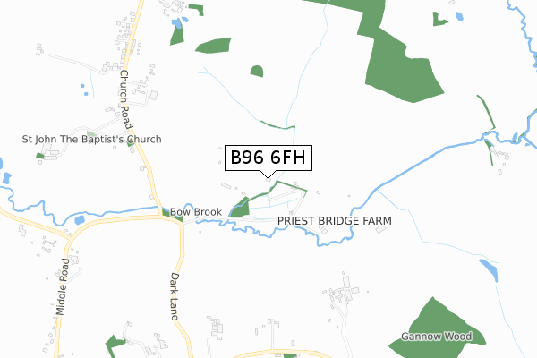
B96 6FH is located in the Astwood Bank and Feckenham electoral ward, within the local authority district of Redditch and the English Parliamentary constituency of Redditch. The Sub Integrated Care Board (ICB) Location is NHS Herefordshire and Worcestershire ICB - 18C and the police force is West Mercia. This postcode has been in use since February 2020.


GetTheData
Source: OS Open Zoomstack (Ordnance Survey)
Licence: Open Government Licence (requires attribution)
Attribution: Contains OS data © Crown copyright and database right 2025
Source: Open Postcode Geo
Licence: Open Government Licence (requires attribution)
Attribution: Contains OS data © Crown copyright and database right 2025; Contains Royal Mail data © Royal Mail copyright and database right 2025; Source: Office for National Statistics licensed under the Open Government Licence v.3.0
| Easting | 399440 |
| Northing | 260041 |
| Latitude | 52.238572 |
| Longitude | -2.009613 |
GetTheData
Source: Open Postcode Geo
Licence: Open Government Licence
| Country | England |
| Postcode District | B96 |
➜ See where B96 is on a map | |
GetTheData
Source: Land Registry Price Paid Data
Licence: Open Government Licence
| Ward | Astwood Bank And Feckenham |
| Constituency | Redditch |
GetTheData
Source: ONS Postcode Database
Licence: Open Government Licence
| Post Box (Church Road) | Bradley Green | 902m |
| Post Box (Church Road) | Bradley Green | 919m |
| Bird-in-hand Junction (Earls Common Road) | Stock Green | 942m |
| Bird-in-hand Junction (Earls Common Road) | Stock Green | 949m |
| Stockwood Lane (Earls Common Road) | Stockwood | 1,498m |
GetTheData
Source: NaPTAN
Licence: Open Government Licence
GetTheData
Source: ONS Postcode Database
Licence: Open Government Licence


➜ Get more ratings from the Food Standards Agency
GetTheData
Source: Food Standards Agency
Licence: FSA terms & conditions
| Last Collection | |||
|---|---|---|---|
| Location | Mon-Fri | Sat | Distance |
| Dormston | 16:45 | 08:00 | 3,004m |
| Holberrow Green Road | 15:30 | 07:30 | 3,131m |
| Stockwood Lane | 16:30 | 10:45 | 3,131m |
GetTheData
Source: Dracos
Licence: Creative Commons Attribution-ShareAlike
The below table lists the International Territorial Level (ITL) codes (formerly Nomenclature of Territorial Units for Statistics (NUTS) codes) and Local Administrative Units (LAU) codes for B96 6FH:
| ITL 1 Code | Name |
|---|---|
| TLG | West Midlands (England) |
| ITL 2 Code | Name |
| TLG1 | Herefordshire, Worcestershire and Warwickshire |
| ITL 3 Code | Name |
| TLG12 | Worcestershire CC |
| LAU 1 Code | Name |
| E07000236 | Redditch |
GetTheData
Source: ONS Postcode Directory
Licence: Open Government Licence
The below table lists the Census Output Area (OA), Lower Layer Super Output Area (LSOA), and Middle Layer Super Output Area (MSOA) for B96 6FH:
| Code | Name | |
|---|---|---|
| OA | E00164410 | |
| LSOA | E01032228 | Redditch 013A |
| MSOA | E02006733 | Redditch 013 |
GetTheData
Source: ONS Postcode Directory
Licence: Open Government Licence
| B96 6SX | 631m | |
| B96 6SN | Church Road | 647m |
| B96 6SW | Church Road | 747m |
| B96 6TH | Cider Mill Lane | 895m |
| B96 6RW | Church Road | 956m |
| B96 6JA | Droitwich Road | 1206m |
| B96 6TE | Middle Road | 1275m |
| B96 6RN | Church Road | 1306m |
| B96 6SS | 1364m | |
| B96 6RT | Droitwich Road | 1490m |
GetTheData
Source: Open Postcode Geo; Land Registry Price Paid Data
Licence: Open Government Licence