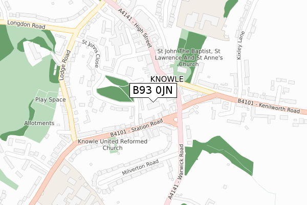
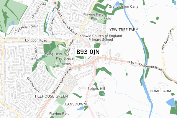
B93 0JN is located in the Knowle electoral ward, within the metropolitan district of Solihull and the English Parliamentary constituency of Meriden. The Sub Integrated Care Board (ICB) Location is NHS Birmingham and Solihull ICB - 15E and the police force is West Midlands. This postcode has been in use since April 2020.


GetTheData
Source: OS Open Zoomstack (Ordnance Survey)
Licence: Open Government Licence (requires attribution)
Attribution: Contains OS data © Crown copyright and database right 2025
Source: Open Postcode Geo
Licence: Open Government Licence (requires attribution)
Attribution: Contains OS data © Crown copyright and database right 2025; Contains Royal Mail data © Royal Mail copyright and database right 2025; Source: Office for National Statistics licensed under the Open Government Licence v.3.0
| Easting | 418148 |
| Northing | 276628 |
| Latitude | 52.387398 |
| Longitude | -1.734763 |
GetTheData
Source: Open Postcode Geo
Licence: Open Government Licence
| Country | England |
| Postcode District | B93 |
➜ See where B93 is on a map ➜ Where is Knowle? | |
GetTheData
Source: Land Registry Price Paid Data
Licence: Open Government Licence
| Ward | Knowle |
| Constituency | Meriden |
GetTheData
Source: ONS Postcode Database
Licence: Open Government Licence
| Knowle Green Terminus (Station Rd) | Knowle | 82m |
| Knowle Green Church (High St) | Knowle | 94m |
| Knowle Green Church (High St) | Knowle | 95m |
| St Johns Close (Station Rd) | Knowle | 175m |
| Lodge Rd (Station Rd) | Knowle | 319m |
| Dorridge Station | 2.1km |
| Widney Manor Station | 2.9km |
| Solihull Station | 4.7km |
GetTheData
Source: NaPTAN
Licence: Open Government Licence
GetTheData
Source: ONS Postcode Database
Licence: Open Government Licence


➜ Get more ratings from the Food Standards Agency
GetTheData
Source: Food Standards Agency
Licence: FSA terms & conditions
| Last Collection | |||
|---|---|---|---|
| Location | Mon-Fri | Sat | Distance |
| Milverton Road / Warwick Road | 17:45 | 08:30 | 131m |
| Knowle Post Office | 17:15 | 12:00 | 159m |
| Knowle Delivery Office | 18:30 | 12:00 | 188m |
GetTheData
Source: Dracos
Licence: Creative Commons Attribution-ShareAlike
The below table lists the International Territorial Level (ITL) codes (formerly Nomenclature of Territorial Units for Statistics (NUTS) codes) and Local Administrative Units (LAU) codes for B93 0JN:
| ITL 1 Code | Name |
|---|---|
| TLG | West Midlands (England) |
| ITL 2 Code | Name |
| TLG3 | West Midlands |
| ITL 3 Code | Name |
| TLG32 | Solihull |
| LAU 1 Code | Name |
| E08000029 | Solihull |
GetTheData
Source: ONS Postcode Directory
Licence: Open Government Licence
The below table lists the Census Output Area (OA), Lower Layer Super Output Area (LSOA), and Middle Layer Super Output Area (MSOA) for B93 0JN:
| Code | Name | |
|---|---|---|
| OA | E00051351 | |
| LSOA | E01010151 | Solihull 026A |
| MSOA | E02002106 | Solihull 026 |
GetTheData
Source: ONS Postcode Directory
Licence: Open Government Licence
| B93 0HT | Station Road | 51m |
| B93 0LY | High Street | 60m |
| B93 0HL | Station Road | 104m |
| B93 0NA | High Street | 119m |
| B93 0NN | St Johns Close | 137m |
| B93 0JA | Kenilworth Road | 138m |
| B93 0LX | Warwick Road | 147m |
| B93 0HU | Warwick Road | 149m |
| B93 0HZ | Wilsons Road | 152m |
| B93 0JB | Kenilworth Road | 171m |
GetTheData
Source: Open Postcode Geo; Land Registry Price Paid Data
Licence: Open Government Licence