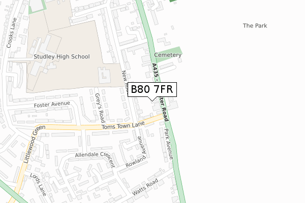
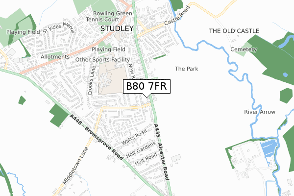
B80 7FR is located in the Studley South electoral ward, within the local authority district of Stratford-on-Avon and the English Parliamentary constituency of Stratford-on-Avon. The Sub Integrated Care Board (ICB) Location is NHS Coventry and Warwickshire ICB - B2M3M and the police force is Warwickshire. This postcode has been in use since August 2019.


GetTheData
Source: OS Open Zoomstack (Ordnance Survey)
Licence: Open Government Licence (requires attribution)
Attribution: Contains OS data © Crown copyright and database right 2025
Source: Open Postcode Geo
Licence: Open Government Licence (requires attribution)
Attribution: Contains OS data © Crown copyright and database right 2025; Contains Royal Mail data © Royal Mail copyright and database right 2025; Source: Office for National Statistics licensed under the Open Government Licence v.3.0
| Easting | 407397 |
| Northing | 263266 |
| Latitude | 52.267519 |
| Longitude | -1.893020 |
GetTheData
Source: Open Postcode Geo
Licence: Open Government Licence
| Country | England |
| Postcode District | B80 |
➜ See where B80 is on a map ➜ Where is Studley? | |
GetTheData
Source: Land Registry Price Paid Data
Licence: Open Government Licence
| Ward | Studley South |
| Constituency | Stratford-on-avon |
GetTheData
Source: ONS Postcode Database
Licence: Open Government Licence
| Toms Town Lane (Alcester Road) | Studley | 89m |
| Toms Town Lane (Alcester Road) | Studley | 94m |
| St Marys Junior School (New Road) | Studley | 156m |
| Foster Avenue (Toms Town Lane) | Studley | 270m |
| Manor Road (Alcester Road) | Studley | 310m |
| Redditch Station | 5.6km |
GetTheData
Source: NaPTAN
Licence: Open Government Licence
GetTheData
Source: ONS Postcode Database
Licence: Open Government Licence


➜ Get more ratings from the Food Standards Agency
GetTheData
Source: Food Standards Agency
Licence: FSA terms & conditions
| Last Collection | |||
|---|---|---|---|
| Location | Mon-Fri | Sat | Distance |
| Alcester Road Studley | 17:30 | 11:30 | 117m |
| Littlewood Green | 17:30 | 11:30 | 535m |
| Studley Post Office | 18:30 | 12:00 | 567m |
GetTheData
Source: Dracos
Licence: Creative Commons Attribution-ShareAlike
The below table lists the International Territorial Level (ITL) codes (formerly Nomenclature of Territorial Units for Statistics (NUTS) codes) and Local Administrative Units (LAU) codes for B80 7FR:
| ITL 1 Code | Name |
|---|---|
| TLG | West Midlands (England) |
| ITL 2 Code | Name |
| TLG1 | Herefordshire, Worcestershire and Warwickshire |
| ITL 3 Code | Name |
| TLG13 | Warwickshire CC |
| LAU 1 Code | Name |
| E07000221 | Stratford-on-Avon |
GetTheData
Source: ONS Postcode Directory
Licence: Open Government Licence
The below table lists the Census Output Area (OA), Lower Layer Super Output Area (LSOA), and Middle Layer Super Output Area (MSOA) for B80 7FR:
| Code | Name | |
|---|---|---|
| OA | E00159287 | |
| LSOA | E01031239 | Stratford-on-Avon 003A |
| MSOA | E02006506 | Stratford-on-Avon 003 |
GetTheData
Source: ONS Postcode Directory
Licence: Open Government Licence
| B80 7QH | Toms Town Lane | 54m |
| B80 7NP | Alcester Road | 67m |
| B80 7NR | Alcester Road | 78m |
| B80 7ND | New Road | 91m |
| B80 7NW | Alcester Road | 125m |
| B80 7NS | Park Avenue | 150m |
| B80 7QQ | Greys Road | 155m |
| B80 7QG | Toms Town Lane | 164m |
| B80 7QF | Green Close | 177m |
| B80 7QE | Rowland Avenue | 180m |
GetTheData
Source: Open Postcode Geo; Land Registry Price Paid Data
Licence: Open Government Licence