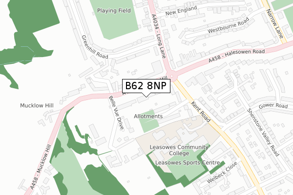
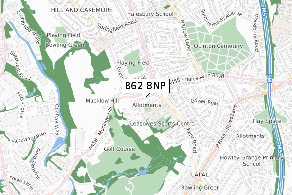
B62 8NP is located in the Halesowen North electoral ward, within the metropolitan district of Dudley and the English Parliamentary constituency of Halesowen and Rowley Regis. The Sub Integrated Care Board (ICB) Location is NHS Black Country ICB - D2P2L and the police force is West Midlands. This postcode has been in use since January 2020.


GetTheData
Source: OS Open Zoomstack (Ordnance Survey)
Licence: Open Government Licence (requires attribution)
Attribution: Contains OS data © Crown copyright and database right 2025
Source: Open Postcode Geo
Licence: Open Government Licence (requires attribution)
Attribution: Contains OS data © Crown copyright and database right 2025; Contains Royal Mail data © Royal Mail copyright and database right 2025; Source: Office for National Statistics licensed under the Open Government Licence v.3.0
| Easting | 397566 |
| Northing | 285277 |
| Latitude | 52.465444 |
| Longitude | -2.037249 |
GetTheData
Source: Open Postcode Geo
Licence: Open Government Licence
| Country | England |
| Postcode District | B62 |
➜ See where B62 is on a map ➜ Where is Halesowen? | |
GetTheData
Source: Land Registry Price Paid Data
Licence: Open Government Licence
| Ward | Halesowen North |
| Constituency | Halesowen And Rowley Regis |
GetTheData
Source: ONS Postcode Database
Licence: Open Government Licence
| St Loyes Close (Olive Lane) | Coombeswood | 206m |
| St Loyes Close (Olive Lane) | Coombeswood | 234m |
| Malt Mill Lane (Olive Lane) | Coombeswood | 390m |
| Malt Mill Lane (Olive Lane) | Coombeswood | 415m |
| Feldon Lane (Long Lane) | Hurst Green | 504m |
| Rowley Regis Station | 1.4km |
| Old Hill Station | 1.4km |
| Cradley Heath Station | 3.6km |
GetTheData
Source: NaPTAN
Licence: Open Government Licence
GetTheData
Source: ONS Postcode Database
Licence: Open Government Licence


➜ Get more ratings from the Food Standards Agency
GetTheData
Source: Food Standards Agency
Licence: FSA terms & conditions
| Last Collection | |||
|---|---|---|---|
| Location | Mon-Fri | Sat | Distance |
| Stewart Road / Ridgefield Road | 17:15 | 12:00 | 105m |
| Feldon Lane / Land Lane | 17:15 | 12:00 | 566m |
| Long Lane Post Office | 16:00 | 11:30 | 633m |
GetTheData
Source: Dracos
Licence: Creative Commons Attribution-ShareAlike
The below table lists the International Territorial Level (ITL) codes (formerly Nomenclature of Territorial Units for Statistics (NUTS) codes) and Local Administrative Units (LAU) codes for B62 8NP:
| ITL 1 Code | Name |
|---|---|
| TLG | West Midlands (England) |
| ITL 2 Code | Name |
| TLG3 | West Midlands |
| ITL 3 Code | Name |
| TLG36 | Dudley |
| LAU 1 Code | Name |
| E08000027 | Dudley |
GetTheData
Source: ONS Postcode Directory
Licence: Open Government Licence
The below table lists the Census Output Area (OA), Lower Layer Super Output Area (LSOA), and Middle Layer Super Output Area (MSOA) for B62 8NP:
| Code | Name | |
|---|---|---|
| OA | E00049545 | |
| LSOA | E01009796 | Dudley 026D |
| MSOA | E02002025 | Dudley 026 |
GetTheData
Source: ONS Postcode Directory
Licence: Open Government Licence
| B62 8ND | Stewarts Road | 47m |
| B62 8NB | Barnfield Road | 105m |
| B62 8NA | Stewarts Road | 110m |
| B62 8NG | Hillwood Road | 183m |
| B62 8LT | Olive Lane | 183m |
| B62 8NE | Ridgefield Road | 199m |
| B62 8NF | Ridgefield Road | 205m |
| B62 8LZ | Olive Lane | 209m |
| B62 8JZ | Springfield Road | 211m |
| B62 8NQ | Hillwood Road | 214m |
GetTheData
Source: Open Postcode Geo; Land Registry Price Paid Data
Licence: Open Government Licence