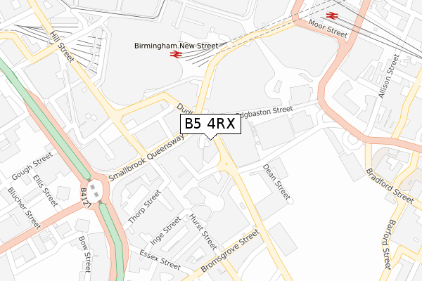
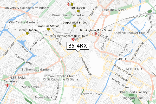
B5 4RX lies on Ladywell Walk in Birmingham. B5 4RX is located in the Bordesley & Highgate electoral ward, within the metropolitan district of Birmingham and the English Parliamentary constituency of Birmingham, Ladywood. The Sub Integrated Care Board (ICB) Location is NHS Birmingham and Solihull ICB - 15E and the police force is West Midlands. This postcode has been in use since May 2018.


GetTheData
Source: OS Open Zoomstack (Ordnance Survey)
Licence: Open Government Licence (requires attribution)
Attribution: Contains OS data © Crown copyright and database right 2025
Source: Open Postcode Geo
Licence: Open Government Licence (requires attribution)
Attribution: Contains OS data © Crown copyright and database right 2025; Contains Royal Mail data © Royal Mail copyright and database right 2025; Source: Office for National Statistics licensed under the Open Government Licence v.3.0
| Easting | 407136 |
| Northing | 286453 |
| Latitude | 52.475976 |
| Longitude | -1.896362 |
GetTheData
Source: Open Postcode Geo
Licence: Open Government Licence
| Street | Ladywell Walk |
| Town/City | Birmingham |
| Country | England |
| Postcode District | B5 |
➜ See where B5 is on a map ➜ Where is Birmingham? | |
GetTheData
Source: Land Registry Price Paid Data
Licence: Open Government Licence
| Ward | Bordesley & Highgate |
| Constituency | Birmingham, Ladywood |
GetTheData
Source: ONS Postcode Database
Licence: Open Government Licence
| Markets (Pershore St) | Birmingham | 40m |
| Smallbrook Queensway | Birmingham | 52m |
| Smallbrook Queensway | Birmingham | 58m |
| Smallbrook Queensway | Birmingham | 61m |
| Gloucester Street (Edgbaston St) | Birmingham | 86m |
| Grand Central New Street (Midland Metro Stop) (Stephenson Street) | Birmingham | 356m |
| Corporation Street (Midland Metro Stop) (Corporation Street) | Birmingham | 436m |
| Bull Street (Midland Metro Stop) (Bull Street) | Birmingham | 657m |
| Snow Hill (Midland Metro Stop) (Colmore Row) | Birmingham | 868m |
| St Paul's (Midland Metro Stop) (Livery Street) | Jewellery Quarter | 1,296m |
| Birmingham New Street Station | 0.3km |
| Birmingham Moor Street Station | 0.4km |
| Birmingham Snow Hill Station | 0.8km |
GetTheData
Source: NaPTAN
Licence: Open Government Licence
GetTheData
Source: ONS Postcode Database
Licence: Open Government Licence


➜ Get more ratings from the Food Standards Agency
GetTheData
Source: Food Standards Agency
Licence: FSA terms & conditions
| Last Collection | |||
|---|---|---|---|
| Location | Mon-Fri | Sat | Distance |
| Norfolk House | 18:30 | 12:30 | 107m |
| New Street Concourse | 18:15 | 12:30 | 255m |
| Station St Station St / John Bright St | 18:30 | 12:30 | 298m |
GetTheData
Source: Dracos
Licence: Creative Commons Attribution-ShareAlike
The below table lists the International Territorial Level (ITL) codes (formerly Nomenclature of Territorial Units for Statistics (NUTS) codes) and Local Administrative Units (LAU) codes for B5 4RX:
| ITL 1 Code | Name |
|---|---|
| TLG | West Midlands (England) |
| ITL 2 Code | Name |
| TLG3 | West Midlands |
| ITL 3 Code | Name |
| TLG31 | Birmingham |
| LAU 1 Code | Name |
| E08000025 | Birmingham |
GetTheData
Source: ONS Postcode Directory
Licence: Open Government Licence
The below table lists the Census Output Area (OA), Lower Layer Super Output Area (LSOA), and Middle Layer Super Output Area (MSOA) for B5 4RX:
| Code | Name | |
|---|---|---|
| OA | E00175627 | |
| LSOA | E01033615 | Birmingham 135C |
| MSOA | E02006896 | Birmingham 135 |
GetTheData
Source: ONS Postcode Directory
Licence: Open Government Licence
| B5 4LJ | Smallbrook Queensway | 82m |
| B5 4BN | Hurst Street | 130m |
| B5 4TD | Ladywell Walk | 160m |
| B5 4SG | Upper Dean Street | 163m |
| B5 4TE | Hurst Street | 190m |
| B5 4TF | St Johns Walk | 262m |
| B5 4TH | St Johns Walk | 262m |
| B5 4TJ | St Johns Walk | 262m |
| B5 4TL | St Johns Walk | 262m |
| B5 4TN | St Johns Walk | 262m |
GetTheData
Source: Open Postcode Geo; Land Registry Price Paid Data
Licence: Open Government Licence