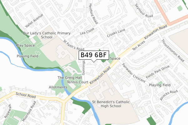
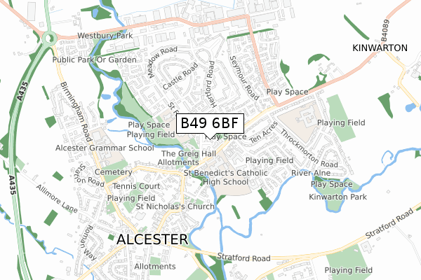
B49 6BF is located in the Alcester East electoral ward, within the local authority district of Stratford-on-Avon and the English Parliamentary constituency of Stratford-on-Avon. The Sub Integrated Care Board (ICB) Location is NHS Coventry and Warwickshire ICB - B2M3M and the police force is Warwickshire. This postcode has been in use since August 2018.


GetTheData
Source: OS Open Zoomstack (Ordnance Survey)
Licence: Open Government Licence (requires attribution)
Attribution: Contains OS data © Crown copyright and database right 2024
Source: Open Postcode Geo
Licence: Open Government Licence (requires attribution)
Attribution: Contains OS data © Crown copyright and database right 2024; Contains Royal Mail data © Royal Mail copyright and database right 2024; Source: Office for National Statistics licensed under the Open Government Licence v.3.0
| Easting | 409257 |
| Northing | 257868 |
| Latitude | 52.218960 |
| Longitude | -1.865910 |
GetTheData
Source: Open Postcode Geo
Licence: Open Government Licence
| Country | England |
| Postcode District | B49 |
➜ See where B49 is on a map ➜ Where is Alcester? | |
GetTheData
Source: Land Registry Price Paid Data
Licence: Open Government Licence
| Ward | Alcester East |
| Constituency | Stratford-on-avon |
GetTheData
Source: ONS Postcode Database
Licence: Open Government Licence
| St Faiths Road (Gunnings Road) | Alcester | 51m |
| St Faiths Road (Gunnings Road) | Alcester | 71m |
| Gunnings Road (St Faith's Road) | Alcester | 89m |
| St Faiths Road (Hertford Road) | Alcester | 123m |
| St Benedicts Rc School (Grounds) | Alcester | 129m |
GetTheData
Source: NaPTAN
Licence: Open Government Licence
| Percentage of properties with Next Generation Access | 100.0% |
| Percentage of properties with Superfast Broadband | 100.0% |
| Percentage of properties with Ultrafast Broadband | 0.0% |
| Percentage of properties with Full Fibre Broadband | 0.0% |
Superfast Broadband is between 30Mbps and 300Mbps
Ultrafast Broadband is > 300Mbps
| Percentage of properties unable to receive 2Mbps | 0.0% |
| Percentage of properties unable to receive 5Mbps | 0.0% |
| Percentage of properties unable to receive 10Mbps | 0.0% |
| Percentage of properties unable to receive 30Mbps | 0.0% |
GetTheData
Source: Ofcom
Licence: Ofcom Terms of Use (requires attribution)
GetTheData
Source: ONS Postcode Database
Licence: Open Government Licence


➜ Get more ratings from the Food Standards Agency
GetTheData
Source: Food Standards Agency
Licence: FSA terms & conditions
| Last Collection | |||
|---|---|---|---|
| Location | Mon-Fri | Sat | Distance |
| Henley St | 17:30 | 12:00 | 328m |
| Throckmorton Road / Gerard Road | 17:30 | 12:00 | 579m |
| Alcester Post Office | 18:15 | 12:30 | 623m |
GetTheData
Source: Dracos
Licence: Creative Commons Attribution-ShareAlike
| Risk of B49 6BF flooding from rivers and sea | Low |
| ➜ B49 6BF flood map | |
GetTheData
Source: Open Flood Risk by Postcode
Licence: Open Government Licence
The below table lists the International Territorial Level (ITL) codes (formerly Nomenclature of Territorial Units for Statistics (NUTS) codes) and Local Administrative Units (LAU) codes for B49 6BF:
| ITL 1 Code | Name |
|---|---|
| TLG | West Midlands (England) |
| ITL 2 Code | Name |
| TLG1 | Herefordshire, Worcestershire and Warwickshire |
| ITL 3 Code | Name |
| TLG13 | Warwickshire CC |
| LAU 1 Code | Name |
| E07000221 | Stratford-on-Avon |
GetTheData
Source: ONS Postcode Directory
Licence: Open Government Licence
The below table lists the Census Output Area (OA), Lower Layer Super Output Area (LSOA), and Middle Layer Super Output Area (MSOA) for B49 6BF:
| Code | Name | |
|---|---|---|
| OA | E00158955 | |
| LSOA | E01031186 | Stratford-on-Avon 006D |
| MSOA | E02006509 | Stratford-on-Avon 006 |
GetTheData
Source: ONS Postcode Directory
Licence: Open Government Licence
| B49 6AA | The Hopkins Precinct | 47m |
| B49 6AH | Gunnings Road | 76m |
| B49 6PX | Kinwarton Road | 135m |
| B49 6AL | Hertford Road | 153m |
| B49 6AQ | St Faiths Road | 173m |
| B49 6AP | Lea Close | 182m |
| B49 6QT | Kinwarton Road | 231m |
| B49 6AX | Hertford Road | 232m |
| B49 6PY | Ten Acres | 238m |
| B49 6BL | Smiths Way | 253m |
GetTheData
Source: Open Postcode Geo; Land Registry Price Paid Data
Licence: Open Government Licence