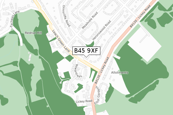
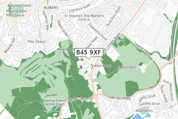
B45 9XF is located in the Rubery & Rednal electoral ward, within the metropolitan district of Birmingham and the English Parliamentary constituency of Birmingham, Northfield. The Sub Integrated Care Board (ICB) Location is NHS Birmingham and Solihull ICB - 15E and the police force is West Midlands. This postcode has been in use since November 2017.


GetTheData
Source: OS Open Zoomstack (Ordnance Survey)
Licence: Open Government Licence (requires attribution)
Attribution: Contains OS data © Crown copyright and database right 2025
Source: Open Postcode Geo
Licence: Open Government Licence (requires attribution)
Attribution: Contains OS data © Crown copyright and database right 2025; Contains Royal Mail data © Royal Mail copyright and database right 2025; Source: Office for National Statistics licensed under the Open Government Licence v.3.0
| Easting | 399899 |
| Northing | 276434 |
| Latitude | 52.385949 |
| Longitude | -2.002900 |
GetTheData
Source: Open Postcode Geo
Licence: Open Government Licence
| Country | England |
| Postcode District | B45 |
➜ See where B45 is on a map ➜ Where is Birmingham? | |
GetTheData
Source: Land Registry Price Paid Data
Licence: Open Government Licence
| Ward | Rubery & Rednal |
| Constituency | Birmingham, Northfield |
GetTheData
Source: ONS Postcode Database
Licence: Open Government Licence
| Leach Green Lane (Lickey Rd) | Rednal | 96m |
| Leach Green Lane (Lickey Rd) | Rednal | 130m |
| Meadvale Rd (Leach Green Lane) | Rednal | 163m |
| Meadvale Rd (Leach Green Lane) | Rednal | 181m |
| Hare & Hounds (Lickey Rd) | Rednal | 193m |
| Longbridge Station | 1.9km |
| Barnt Green Station | 2.9km |
| Northfield Station | 3.5km |
GetTheData
Source: NaPTAN
Licence: Open Government Licence
GetTheData
Source: ONS Postcode Database
Licence: Open Government Licence


➜ Get more ratings from the Food Standards Agency
GetTheData
Source: Food Standards Agency
Licence: FSA terms & conditions
| Last Collection | |||
|---|---|---|---|
| Location | Mon-Fri | Sat | Distance |
| Lickey Road | 17:00 | 11:30 | 239m |
| Edgewood Road / Manor Road | 17:15 | 11:30 | 365m |
| Himley Grove / Ormscliffe Road | 17:30 | 11:30 | 368m |
GetTheData
Source: Dracos
Licence: Creative Commons Attribution-ShareAlike
The below table lists the International Territorial Level (ITL) codes (formerly Nomenclature of Territorial Units for Statistics (NUTS) codes) and Local Administrative Units (LAU) codes for B45 9XF:
| ITL 1 Code | Name |
|---|---|
| TLG | West Midlands (England) |
| ITL 2 Code | Name |
| TLG3 | West Midlands |
| ITL 3 Code | Name |
| TLG31 | Birmingham |
| LAU 1 Code | Name |
| E08000025 | Birmingham |
GetTheData
Source: ONS Postcode Directory
Licence: Open Government Licence
The below table lists the Census Output Area (OA), Lower Layer Super Output Area (LSOA), and Middle Layer Super Output Area (MSOA) for B45 9XF:
| Code | Name | |
|---|---|---|
| OA | E00046488 | |
| LSOA | E01009163 | Birmingham 129B |
| MSOA | E02001955 | Birmingham 129 |
GetTheData
Source: ONS Postcode Directory
Licence: Open Government Licence
| B45 8DR | Leach Green Lane | 33m |
| B45 8DP | Rowantrees | 87m |
| B45 8RZ | Lickey Road | 103m |
| B45 8DT | Leach Green Lane | 122m |
| B45 8UR | Lickey Road | 146m |
| B45 8UT | Lickey Road | 156m |
| B45 8DY | Meadvale Road | 164m |
| B45 8DZ | Meadvale Road | 169m |
| B45 8QS | Heronswood Road | 176m |
| B45 8QT | Heronswood Road | 195m |
GetTheData
Source: Open Postcode Geo; Land Registry Price Paid Data
Licence: Open Government Licence