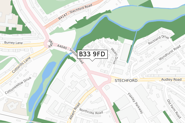
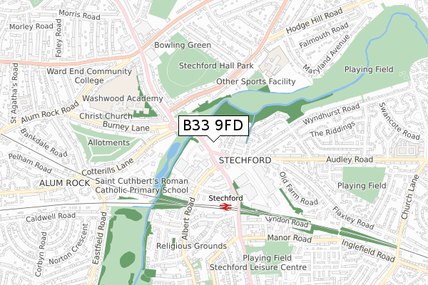
B33 9FD is located in the Glebe Farm & Tile Cross electoral ward, within the metropolitan district of Birmingham and the English Parliamentary constituency of Birmingham, Yardley. The Sub Integrated Care Board (ICB) Location is NHS Birmingham and Solihull ICB - 15E and the police force is West Midlands. This postcode has been in use since October 2019.


GetTheData
Source: OS Open Zoomstack (Ordnance Survey)
Licence: Open Government Licence (requires attribution)
Attribution: Contains OS data © Crown copyright and database right 2024
Source: Open Postcode Geo
Licence: Open Government Licence (requires attribution)
Attribution: Contains OS data © Crown copyright and database right 2024; Contains Royal Mail data © Royal Mail copyright and database right 2024; Source: Office for National Statistics licensed under the Open Government Licence v.3.0
| Easting | 412857 |
| Northing | 287884 |
| Latitude | 52.488737 |
| Longitude | -1.812078 |
GetTheData
Source: Open Postcode Geo
Licence: Open Government Licence
| Country | England |
| Postcode District | B33 |
➜ See where B33 is on a map ➜ Where is Birmingham? | |
GetTheData
Source: Land Registry Price Paid Data
Licence: Open Government Licence
| Ward | Glebe Farm & Tile Cross |
| Constituency | Birmingham, Yardley |
GetTheData
Source: ONS Postcode Database
Licence: Open Government Licence
| Station Rd (Flaxley Rd) | Stechford | 88m |
| Flaxley Rd (Station Rd) | Stechford | 128m |
| Iron Lane (Station Rd) | Stechford | 202m |
| Retail Park (Flaxley Rd) | Stechford | 245m |
| Stechford Lane (Stechford Rd) | Ward End | 279m |
| Stechford Station | 0.4km |
| Lea Hall Station | 2km |
| Adderley Park Station | 3km |
GetTheData
Source: NaPTAN
Licence: Open Government Licence
| Percentage of properties with Next Generation Access | 85.7% |
| Percentage of properties with Superfast Broadband | 85.7% |
| Percentage of properties with Ultrafast Broadband | 85.7% |
| Percentage of properties with Full Fibre Broadband | 85.7% |
Superfast Broadband is between 30Mbps and 300Mbps
Ultrafast Broadband is > 300Mbps
| Percentage of properties unable to receive 2Mbps | 0.0% |
| Percentage of properties unable to receive 5Mbps | 0.0% |
| Percentage of properties unable to receive 10Mbps | 0.0% |
| Percentage of properties unable to receive 30Mbps | 14.3% |
GetTheData
Source: Ofcom
Licence: Ofcom Terms of Use (requires attribution)
GetTheData
Source: ONS Postcode Database
Licence: Open Government Licence
➜ Get more ratings from the Food Standards Agency
GetTheData
Source: Food Standards Agency
Licence: FSA terms & conditions
| Last Collection | |||
|---|---|---|---|
| Location | Mon-Fri | Sat | Distance |
| Stechford Lane / Burney Lane | 17:30 | 11:30 | 323m |
| Lower Stechford Post Office | 17:30 | 11:30 | 472m |
| Coleshill Road | 17:30 | 11:30 | 649m |
GetTheData
Source: Dracos
Licence: Creative Commons Attribution-ShareAlike
The below table lists the International Territorial Level (ITL) codes (formerly Nomenclature of Territorial Units for Statistics (NUTS) codes) and Local Administrative Units (LAU) codes for B33 9FD:
| ITL 1 Code | Name |
|---|---|
| TLG | West Midlands (England) |
| ITL 2 Code | Name |
| TLG3 | West Midlands |
| ITL 3 Code | Name |
| TLG31 | Birmingham |
| LAU 1 Code | Name |
| E08000025 | Birmingham |
GetTheData
Source: ONS Postcode Directory
Licence: Open Government Licence
The below table lists the Census Output Area (OA), Lower Layer Super Output Area (LSOA), and Middle Layer Super Output Area (MSOA) for B33 9FD:
| Code | Name | |
|---|---|---|
| OA | E00046065 | |
| LSOA | E01009095 | Birmingham 056A |
| MSOA | E02001882 | Birmingham 056 |
GetTheData
Source: ONS Postcode Directory
Licence: Open Government Licence
| B33 9AS | Flaxley Road | 102m |
| B33 9AR | Mears Drive | 108m |
| B33 9AX | Station Road | 110m |
| B33 9BD | Albert Road | 203m |
| B33 9DW | Brook Close | 210m |
| B34 6BG | Stechford Road | 261m |
| B34 6BQ | Stechford Road | 269m |
| B8 2PJ | Cotterills Lane | 271m |
| B8 2AL | Stechford Lane | 274m |
| B33 9BB | Northcote Road | 279m |
GetTheData
Source: Open Postcode Geo; Land Registry Price Paid Data
Licence: Open Government Licence