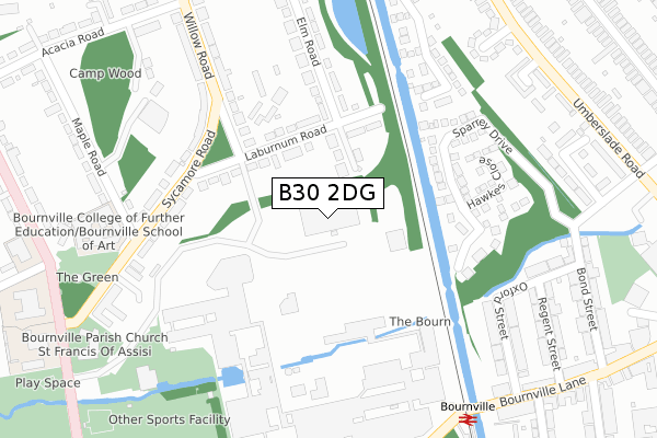
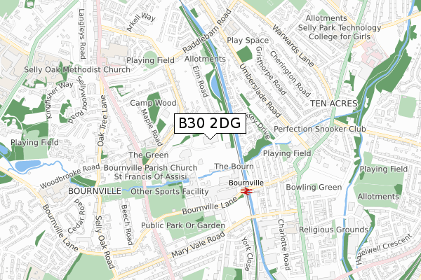
B30 2DG is located in the Bournville & Cotteridge electoral ward, within the metropolitan district of Birmingham and the English Parliamentary constituency of Birmingham, Selly Oak. The Sub Integrated Care Board (ICB) Location is NHS Birmingham and Solihull ICB - 15E and the police force is West Midlands. This postcode has been in use since May 2019.


GetTheData
Source: OS Open Zoomstack (Ordnance Survey)
Licence: Open Government Licence (requires attribution)
Attribution: Contains OS data © Crown copyright and database right 2025
Source: Open Postcode Geo
Licence: Open Government Licence (requires attribution)
Attribution: Contains OS data © Crown copyright and database right 2025; Contains Royal Mail data © Royal Mail copyright and database right 2025; Source: Office for National Statistics licensed under the Open Government Licence v.3.0
| Easting | 404857 |
| Northing | 281420 |
| Latitude | 52.430754 |
| Longitude | -1.929985 |
GetTheData
Source: Open Postcode Geo
Licence: Open Government Licence
| Country | England |
| Postcode District | B30 |
➜ See where B30 is on a map ➜ Where is Birmingham? | |
GetTheData
Source: Land Registry Price Paid Data
Licence: Open Government Licence
| Ward | Bournville & Cotteridge |
| Constituency | Birmingham, Selly Oak |
GetTheData
Source: ONS Postcode Database
Licence: Open Government Licence
| Railway Bridge (Bournville Lane) | Stirchley | 376m |
| Cadburys (Bournville Lane) | Bournville | 390m |
| Birkdale Rd (Umberslade Rd) | Stirchley | 397m |
| Cadburys (Bournville Lane) | Bournville | 411m |
| Birkdale Rd (Umberslade Rd) | Stirchley | 413m |
| Bournville Station | 0.5km |
| Selly Oak Station | 1.3km |
| Kings Norton Station | 1.8km |
GetTheData
Source: NaPTAN
Licence: Open Government Licence
GetTheData
Source: ONS Postcode Database
Licence: Open Government Licence


➜ Get more ratings from the Food Standards Agency
GetTheData
Source: Food Standards Agency
Licence: FSA terms & conditions
| Last Collection | |||
|---|---|---|---|
| Location | Mon-Fri | Sat | Distance |
| Willow Road / Laburnum Road | 17:45 | 12:30 | 157m |
| Bourniville Post Office | 17:45 | 12:30 | 345m |
| Bournville Station | 17:30 | 12:30 | 402m |
GetTheData
Source: Dracos
Licence: Creative Commons Attribution-ShareAlike
The below table lists the International Territorial Level (ITL) codes (formerly Nomenclature of Territorial Units for Statistics (NUTS) codes) and Local Administrative Units (LAU) codes for B30 2DG:
| ITL 1 Code | Name |
|---|---|
| TLG | West Midlands (England) |
| ITL 2 Code | Name |
| TLG3 | West Midlands |
| ITL 3 Code | Name |
| TLG31 | Birmingham |
| LAU 1 Code | Name |
| E08000025 | Birmingham |
GetTheData
Source: ONS Postcode Directory
Licence: Open Government Licence
The below table lists the Census Output Area (OA), Lower Layer Super Output Area (LSOA), and Middle Layer Super Output Area (MSOA) for B30 2DG:
| Code | Name | |
|---|---|---|
| OA | E00047101 | |
| LSOA | E01009282 | Birmingham 100B |
| MSOA | E02001926 | Birmingham 100 |
GetTheData
Source: ONS Postcode Directory
Licence: Open Government Licence
| B30 2BB | Holly Grove | 94m |
| B30 2BA | Laburnum Road | 117m |
| B30 2LX | Sparrey Drive | 211m |
| B30 2AA | Sycamore Road | 218m |
| B30 2LZ | Lea Yield Close | 227m |
| B30 2AD | Sycamore Road | 249m |
| B30 2LY | Hawkes Close | 256m |
| B30 2AS | Willow Road | 310m |
| B30 2AT | Willow Road | 330m |
| B30 2LH | Oxford Street | 332m |
GetTheData
Source: Open Postcode Geo; Land Registry Price Paid Data
Licence: Open Government Licence