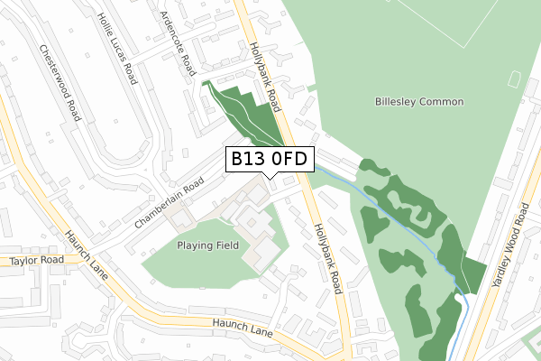
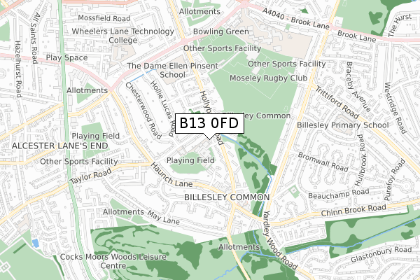
B13 0FD is located in the Billesley electoral ward, within the metropolitan district of Birmingham and the English Parliamentary constituency of Birmingham, Selly Oak. The Sub Integrated Care Board (ICB) Location is NHS Birmingham and Solihull ICB - 15E and the police force is West Midlands. This postcode has been in use since June 2018.


GetTheData
Source: OS Open Zoomstack (Ordnance Survey)
Licence: Open Government Licence (requires attribution)
Attribution: Contains OS data © Crown copyright and database right 2025
Source: Open Postcode Geo
Licence: Open Government Licence (requires attribution)
Attribution: Contains OS data © Crown copyright and database right 2025; Contains Royal Mail data © Royal Mail copyright and database right 2025; Source: Office for National Statistics licensed under the Open Government Licence v.3.0
| Easting | 408269 |
| Northing | 280670 |
| Latitude | 52.423971 |
| Longitude | -1.879821 |
GetTheData
Source: Open Postcode Geo
Licence: Open Government Licence
| Country | England |
| Postcode District | B13 |
➜ See where B13 is on a map ➜ Where is Birmingham? | |
GetTheData
Source: Land Registry Price Paid Data
Licence: Open Government Licence
| Ward | Billesley |
| Constituency | Birmingham, Selly Oak |
GetTheData
Source: ONS Postcode Database
Licence: Open Government Licence
| Hollybank Close (Hollybank Rd) | Billesley | 74m |
| Hollybank Close (Hollybank Rd) | Billesley | 130m |
| Haunch Lane (Hollybank Rd) | Billesley | 251m |
| Haunch Lane (Hollybank Rd) | Billesley | 282m |
| Hollybank Rd (Haunch Lane) | Billesley | 318m |
| Yardley Wood Station | 1.8km |
| Hall Green Station | 2.7km |
| Bournville Station | 3.2km |
GetTheData
Source: NaPTAN
Licence: Open Government Licence
| Percentage of properties with Next Generation Access | 100.0% |
| Percentage of properties with Superfast Broadband | 100.0% |
| Percentage of properties with Ultrafast Broadband | 100.0% |
| Percentage of properties with Full Fibre Broadband | 0.0% |
Superfast Broadband is between 30Mbps and 300Mbps
Ultrafast Broadband is > 300Mbps
| Percentage of properties unable to receive 2Mbps | 0.0% |
| Percentage of properties unable to receive 5Mbps | 0.0% |
| Percentage of properties unable to receive 10Mbps | 0.0% |
| Percentage of properties unable to receive 30Mbps | 0.0% |
GetTheData
Source: Ofcom
Licence: Ofcom Terms of Use (requires attribution)
GetTheData
Source: ONS Postcode Database
Licence: Open Government Licence


➜ Get more ratings from the Food Standards Agency
GetTheData
Source: Food Standards Agency
Licence: FSA terms & conditions
| Last Collection | |||
|---|---|---|---|
| Location | Mon-Fri | Sat | Distance |
| Hollybank Rd | 17:45 | 12:30 | 312m |
| Hollybank Post Office | 17:45 | 12:30 | 319m |
| Beechwood Road / Taylor Road | 17:45 | 12:30 | 451m |
GetTheData
Source: Dracos
Licence: Creative Commons Attribution-ShareAlike
The below table lists the International Territorial Level (ITL) codes (formerly Nomenclature of Territorial Units for Statistics (NUTS) codes) and Local Administrative Units (LAU) codes for B13 0FD:
| ITL 1 Code | Name |
|---|---|
| TLG | West Midlands (England) |
| ITL 2 Code | Name |
| TLG3 | West Midlands |
| ITL 3 Code | Name |
| TLG31 | Birmingham |
| LAU 1 Code | Name |
| E08000025 | Birmingham |
GetTheData
Source: ONS Postcode Directory
Licence: Open Government Licence
The below table lists the Census Output Area (OA), Lower Layer Super Output Area (LSOA), and Middle Layer Super Output Area (MSOA) for B13 0FD:
| Code | Name | |
|---|---|---|
| OA | E00045398 | |
| LSOA | E01008935 | Birmingham 111B |
| MSOA | E02001937 | Birmingham 111 |
GetTheData
Source: ONS Postcode Directory
Licence: Open Government Licence
| B13 0RL | Hollybank Road | 30m |
| B13 0RG | Chessetts Grove | 117m |
| B13 0QP | Chamberlain Road | 132m |
| B13 0RE | Hollybank Road | 139m |
| B13 0QB | Chamberlain Road | 164m |
| B13 0RP | Marlcliff Grove | 172m |
| B13 0RJ | Hollybank Road | 187m |
| B13 0QD | Chesterwood Road | 192m |
| B13 0RF | Hollybank Road | 211m |
| B13 0QN | Hollie Lucas Road | 234m |
GetTheData
Source: Open Postcode Geo; Land Registry Price Paid Data
Licence: Open Government Licence