Where is Newbold-on-Stour?
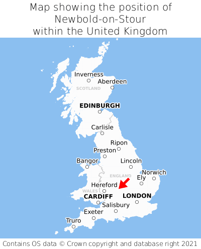
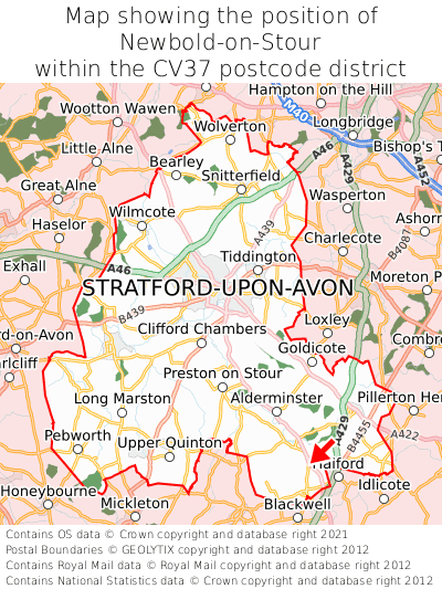
Newbold-on-Stour is located in the county of Warwickshire, West Midlands, four miles north of the town of Shipston-on-Stour, 19 miles south-east of the major town of Redditch, and 77 miles north-west of London. Newbold-on-Stour lies four miles north-east of the Gloucestershire border. Newbold-on-Stour falls within the district council of Stratford-on-Avon, under the county council of Warwickshire. It is in the CV37 postcode district.
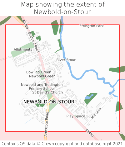
Newbold-on-Stour on a map


Which county is Newbold-on-Stour in?
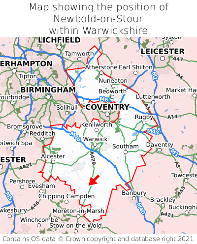
Newbold-on-Stour is in the ceremonial county of Warwickshire, the historic county of Warwickshire, and the administrative county of Warwickshire.
| Ceremonial County | Warwickshire |
|---|---|
| Historic County | Warwickshire |
| Administrative County | Warwickshire |
Where is Newbold-on-Stour in Warwickshire?
Newbold-on-Stour is situated towards the southernmost extremity of Warwickshire, and roughly centrally between the easternmost and westernmost extremities of Warwickshire.

What is the postcode for Newbold-on-Stour?
The nearest postcode to the centre of Newbold-on-Stour is CV37 8TP.
Where is Newbold-on-Stour in CV37?
Newbold-on-Stour is situated towards the southernmost extremity of the CV37 postcode district, and towards the easternmost extremity of the CV37 postcode district.

What is the latitude and longitude of Newbold-on-Stour?
The centre of Newbold-on-Stour is located at position 52.1125° latitude and -1.64055° longitude.
| Latitude | 52.1125° |
|---|---|
| Longitude | -1.64055° |
What is the easting and northing of Newbold-on-Stour?
The centre of Newbold-on-Stour is located at the grid reference easting 424712 and northing 246080 within the British National Grid (OSGB36) system.
| Easting | 424712 |
|---|---|
| Northing | 246080 |
What are the nearest towns to Newbold-on-Stour?
Position of Newbold-on-Stour relative to nearby towns. Distance is measured from the centre of Newbold-on-Stour to the centre of the town.
What are the nearest cities to Newbold-on-Stour?
Position of Newbold-on-Stour relative to nearby cities. Distance is measured from the centre of Newbold-on-Stour to the centre of the city.